Browse / Zambia / Western / Kaoma
Kaoma
Westerntown
Demographic figures from Zambia Statistics Agency. Overview below cites Wikipedia and may reference a different year.
City facts
Facts from Wikidata (CC0).
Overview
Kaoma is a town in Zambia. It is the headquarters of Kaoma District in the Western Province and is located on the M9 Road.
Read more on WikipediaHistory & geography
History
Kaoma has previously been known by other names including: Nkoya, Mankoya, Mankoye, Nankoya, Nunkoya. The official name of the town was changed to Kaoma in 1964. The name Nkoya came from the first Zambian ethnic group to settle in the area around the 6th century. The Nkoya people can be found in Kaoma and the surrounding areas such as Mumbwa, Mulobezi, Kazungula, Mungulula (Mongu), Kalabo, Lukulu amongst other districts. The Nkoya people celebrate an annual traditional ceremony called the Kazanga Ceremony, which is held between April and August in Kaoma District, under Chief Mwene Mutondo and Chief Kahare of the Nkoya people.
Geography
Kaoma is located approximately , by road, west of Lusaka, the capital of Zambia and its largest city. At Kaoma, the Lusaka-Mongu Road (M9), meets the Kaoma-Kasempa Road (D301). This location lies west of Kafue National Park. The coordinates of the town are: 14 48 00S, 24 48 00E (Latitude: -14.8000; Longitude: 24.8000). Kaoma has a humid subtropical climate (Köppen: Cwa) characterized by warm to hot temperatures and clear wet and dry seasons. October and November are the hottest months, while June and July are the coolest months, having cool nights. The wet season, from November to March, experiences significant rainfall, while the dry season, from May to October, is marked by reduced precipitation. }}
Excerpted from the corresponding Wikipedia article (CC BY-SA).
Geography
Coordinates & boundaries from the US Census TIGER/Line shapefiles.
Climate
Air quality
Walkability
Amenities nearby
Wildlife & biodiversity
Earthquake history
Photos
Sights & places nearby
Notable people from here
Nearby places in Western
Geography & sun
Elevation, sunrise/sunset and daylight from Open-Meteo. Solar climatology from NASA POWER.
Nearby airports
Public attention
Pageview totals from the Wikimedia Pageviews API.
Books about Kaoma
Search results from Open Library.
Recent natural events nearby
Ground air-quality sensors
Recently spotted species
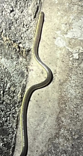
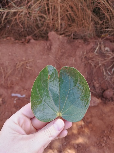
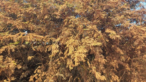
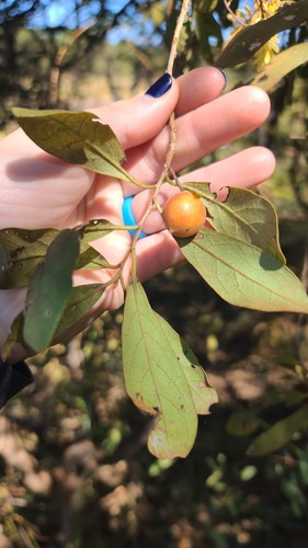
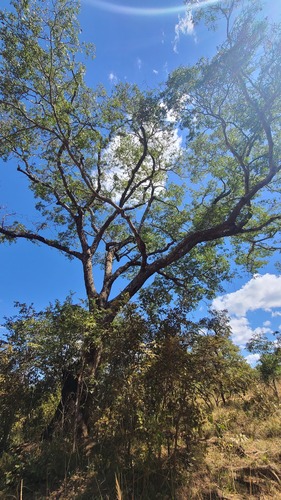
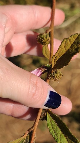
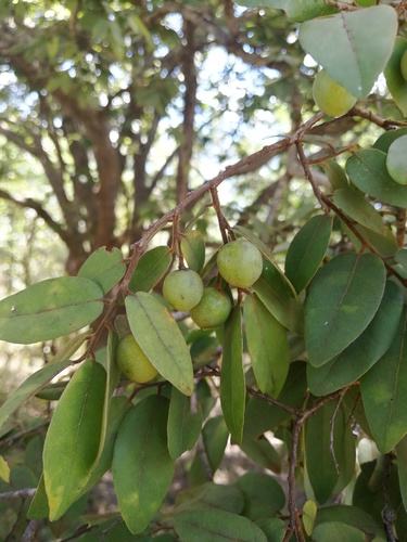
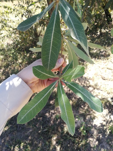
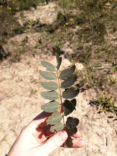
Research-grade observations from iNaturalist (within ~15 mi).
Events
Gallery
Sources
- • Wikipedia
- • Wikidata
- • iNaturalist
- • Open-Meteo / sunrise-sunset.org
- • Wikipedia Pageviews API
- • Open Library