Browse / Zambia / Copperbelt / Kitwe
Kitwe
Copperbeltcity

Kitwe
Total population
522,092
Founded
1936
Air quality index
Demographic figures from Zambia Statistics Agency. Overview below cites Wikipedia and may reference a different year.
City facts
Sister cities
Facts from Wikidata (CC0).
Overview
Kitwe is the third largest city in terms of infrastructure development and second largest city in terms of size and population in Zambia. With a population of 661,901 as of the 2022 census, Kitwe is one of the most developed commercial and industrial areas in the nation, alongside Ndola and Lusaka. It has a complex of mines on its north-western and western edges.
Read more on WikipediaHistory & geography
History
Kitwe was founded in 1936 in north-central Zambia as the railway was being built by Cecil Rhodes' company. It was first established as an adjunct, non-mining-related but supportive part of an expanding copper-mining centre at Nkana. The expanding copper mines at Nkana made it the dominant centre in the region and Kitwe started building up its size and significance over the years, finally surpassing Nkana as the main centre. The Rhodesia Railways main line reached the town in 1937, providing passenger services as far south as Bulawayo in today's Zimbabwe, with connections to Cape Town in today's South Africa. A branch line was created from Ndola into DR Congo, and from there eventually linked to the Benguela Railway to the Atlantic port of Lobito in Angola, which used to take some of Zambia's copper exports. With the upsurge of copper prices in the 1950s Kitwe developed from a small township to the second largest city in Zambia, obtaining city status in 1966. It then developed as an industrial and commercial area and later an important agricultural area.
Excerpted from the corresponding Wikipedia article (CC BY-SA).
Geography
Coordinates & boundaries from the US Census TIGER/Line shapefiles.
Climate
10-year averages from ERA5 reanalysis (Open-Meteo).
Air quality
Current readings from Open-Meteo Air Quality API (Copernicus CAMS European reanalysis).
Walkability
Amenities nearby
Wildlife & biodiversity
Most-observed species
- Common BulbulPycnonotus barbatus (Desfontaines, 1789) · Aves85
- Pied CrowCorvus albus Statius Muller, 1776 · Aves68
- Bronze mannikinLonchura cucullata (Swainson, 1837) · Aves63
- Black-backed PuffbackDryoscopus cubla (Latham, 1802) · Aves61
- African Pied WagtailMotacilla aguimp Temminck, 1820 · Aves61
- African Black-headed OrioleOriolus larvatus Lichtenstein, 1823 · Aves52
- Tawny-flanked PriniaPrinia subflava (Gmelin, 1789) · Aves52
- Black-collared BarbetLybius torquatus (Dumont, 1805) · Aves50
Citizen-science & research observations from the Global Biodiversity Information Facility (GBIF).
Earthquake history
Events from the USGS Earthquake Catalog (global) (FDSN Event Web Service).
Photos
Sights & places nearby
Notable people from here


People born within ~10 km, from Wikidata (CC0). Click any name for their Wikipedia article.
Nearby places in Copperbelt
Geography & sun
Elevation, sunrise/sunset and daylight from Open-Meteo. Solar climatology from NASA POWER.
Nearby airports
Public attention
Pageview totals from the Wikimedia Pageviews API.
Books about Kitwe
Search results from Open Library.
Recent natural events nearby
Ground air-quality sensors
Recently spotted species
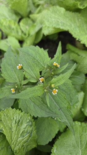
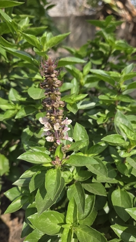
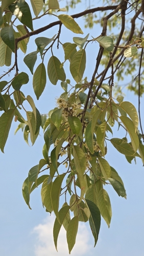
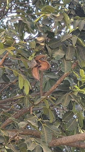
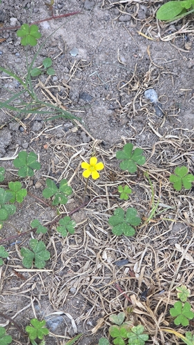
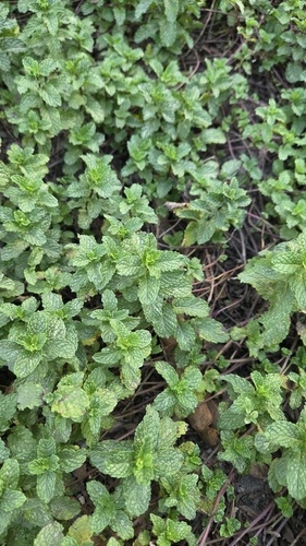
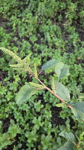
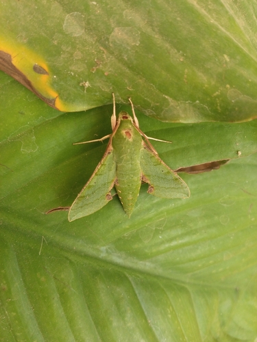

Research-grade observations from iNaturalist (within ~15 mi).
Events
Gallery
Geotagged photos within ~6 miles of Kitwe, from Wikimedia Commons contributors.
 0.5 mi
 1.2 mi
.jpg) 1.4 mi
1.4 mi 1.6 mi
 1.9 mi
 1.9 mi
 2.2 mi
 2.3 mi
 2.3 mi
 2.6 mi
 2.6 mi
 2.6 mi
 2.7 mi
 2.7 mi
 2.8 mi
 3.2 mi
 3.5 mi
 3.5 mi
 4.5 mi
 5.1 mi
 5.1 mi
 5.1 mi
 5.2 mi
 5.3 mi
Photos via Wikimedia Commons — see each image page for license & attribution.
Sources
- • Wikipedia
- • Open-Meteo (ERA5 reanalysis)
- • Wikimedia Commons
- • Wikidata
- • Open-Meteo Air Quality (CAMS)
- • USGS Earthquake Catalog (global feed)
- • GBIF (Global Biodiversity Information Facility)
- • iNaturalist
- • Open-Meteo / sunrise-sunset.org
- • Wikipedia Pageviews API
- • Open Library