Browse / Zambia / Muchinga / Lukulu
Lukulu
Muchingatown
Demographic figures from Zambia Statistics Agency. Overview below cites Wikipedia and may reference a different year.
City facts
Facts from Wikidata (CC0).
Overview
Set in Muchinga, Zambia, Lukulu is recorded in open geodata as a town. Coordinates of -12.827°, 30.867° situate Lukulu in the tropical zone of the southern hemisphere. Detailed population figures are not currently catalogued in the open data sources we track. Its latitude implies a climate characterised by warm temperatures throughout the year with pronounced wet and dry seasons. Solar-resource estimates put the area at about 2,101 kWh/m² of solar irradiance per year with sunshine for roughly 82% of daylight hours. The remainder of this page draws on open public data to describe the area's demographics, climate, environment and nearby amenities.
Summary composed automatically from structured open data on this page. See our Terms for details.
History & geography
Geography
Lukulu is at the north end of the Zambezi's Barotse Floodplain which at that point has not developed its full character, being narrower and less flat than it is further south. Every year between December and March, the river rises above the low banks of its main channel and spreads across the floodplain. Access to the town is limited to only a few graded roads with traffic running through it from Kaoma town to Watopa town. Fish from the river provide most of the local diet, and some are exported to other parts of Zambia away from the river. The town has a Zambezi River water front and sandy beaches. There is a small pontoon ferry across the river, with a beach lying on the opposite bank of the main channel. Lukulu is also home to a hospital, two markets and several schools. The rough roads are the only problem which stops trade and tourists from reaching the town.
Excerpted from the corresponding Wikipedia article (CC BY-SA).
Geography
Coordinates & boundaries from the US Census TIGER/Line shapefiles.
Climate
Air quality
Walkability
Amenities nearby
Wildlife & biodiversity
Earthquake history
Photos
Sights & places nearby
Notable people from here
Nearby places in Muchinga
Geography & sun
Elevation, sunrise/sunset and daylight from Open-Meteo. Solar climatology from NASA POWER.
Nearby airports
Public attention
Pageview totals from the Wikimedia Pageviews API.
Books about this place
Recent natural events nearby
Ground air-quality sensors
Recently spotted species
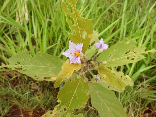
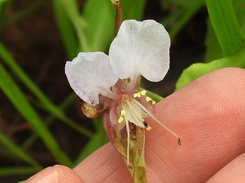
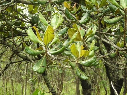
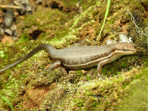
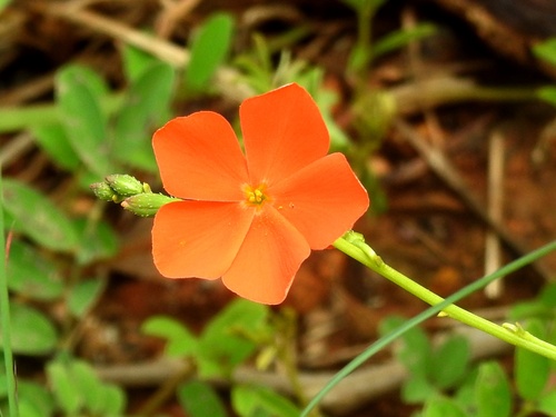
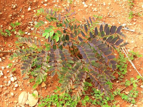
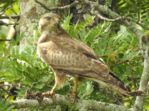
Research-grade observations from iNaturalist (within ~15 mi).
Events
Gallery
Sources
- • Wikipedia
- • Wikidata
- • iNaturalist
- • Open-Meteo / sunrise-sunset.org
- • Wikipedia Pageviews API