Browse / Zambia / Lusaka / Lusaka
Lusaka
Lusakacity

Lusaka
Total population
1,742,979
Founded
1905
Demographic figures from Zambia Statistics Agency. Overview below cites Wikipedia and may reference a different year.
City facts
Sister cities
Facts from Wikidata (CC0).
Overview
Lusaka is the capital and largest city of Zambia. It is one of the fastest-developing cities in southern Africa. Lusaka is in the southern part of the central plateau at an elevation of about 1,279 metres (4,196 ft). As of 2022, the city's population was approximately 2,204,059. Lusaka is the centre of both commerce and government in Zambia and connects to the country's four main highways heading north, south, east, and west. English is the official language of the city administration, while Bemba, Tonga and Chichewa are the commonly spoken street languages.
Read more on WikipediaHistory & geography
History
The earliest evidence of settlement in the area around what is now the Lusaka area dates to the 6th century. The first known village dates to around the 11th century, a settlement of round huts close to the modern suburb of Olympia. The subsequent centuries saw considerable fluctuation of people in the area, until the arrival of the Lenje and Soli peoples in the 17th or 18th century. The Soli are believed by scholars to have arrived as part of the Luba migration along the Luapula River, while the Lenje are related to the . Modern Lusaka lies on the boundary of the territories of the two groups, with the Lenje inhabiting the region to the north of the city and the Soli to the south. In the 19th century, African and European slave traders began arriving from the coastal regions of modern-day Tanzania, Mozambique and Angola, enslaving members of the Soli and Lenje communities for shipment to the Middle East, Europe and South America. The need to evade these attacks as well as their use of a shifting-cultivation farming system, necessitated frequent relocation amongst the Soli and Lenje, and there were, therefore, no major permanent settlements. In the late 19th century, British–South African mining entrepreneur and politician Cecil Rhodes founded the British South African Company (BSAC), with a charter from Queen Victoria to colonise and develop land in sections of what is now northern South Africa, Zimbabwe, Zambia, Malawi and Botswana. The BSAC took formal control of the region around Lusaka through the protectorate of Barotziland–North-Western Rhodesia, named after Rhodes, in 1899. The capital was initially at Kalomo, being switched to Livingstone in 1907. This was merged in 1911 with the territory of North-Eastern Rhodesia to form Northern Rhodesia, predecessor of…
Geography
The Zambian terrain consists mainly of a high-altitude plateau, with some hills and mountains. Lusaka is located on the plateau, in south-central Zambia at 15°25′S 28°17′E, with an altitude of . It is located north east of the tourism capital, Livingstone, and from Kitwe on the Copperbelt, Zambia's second-largest city. Mpulungu, the most distant major Zambian town from Lusaka, lies away on the shores of Lake Tanganyika. The city of Lusaka is coterminous with Lusaka District, and is the capital of Lusaka Province, which is Zambia's smallest but most populated province. Lusaka District borders Chilanga District to the west and south, Kafue District to the south-east and Chongwe District to the east, all in Lusaka Province. It also borders Chibombo District to the north. To the west of Cairo Road there are two major markets, the Central Market and New City Market. East of the CBD lies the government area, which include the State House and the various ministries, around Cathedral Hill and Ridgeway neighbourhoods. East of there, along Independence Avenue, lies Woodlands, which is the principal residential area for Lusaka's rich elite, as well as wealthy expatriates. The wealthy suburbs of Ibex Hill and Rhodes Park are also situated in the east of the city, with Makeni to the south. Overlooking Arcades is the Sun Share Tower on Katima Mulilo Road near the Radisson Blu hotel. The 58-metre-high Tower was launched in 2017 by Sun Share Ltd. Monuments and national symbols in Lusaka include the National Museum, government buildings around the CBD, the African Freedom statue and a memorial to the victims of the 1993 Zambia national football team plane crash, located at the National Heroes Stadium. Primarily due to its high altitude, Lusaka features a subtropical monsoon…
Excerpted from the corresponding Wikipedia article (CC BY-SA).
Geography
Coordinates & boundaries from the US Census TIGER/Line shapefiles.
Climate
10-year averages from ERA5 reanalysis (Open-Meteo).
Air quality
Walkability
Amenities nearby
Wildlife & biodiversity
Most-observed species
- Common BulbulPycnonotus barbatus (Desfontaines, 1789) · Aves2,033
- Pied CrowCorvus albus Statius Muller, 1776 · Aves1,410
- Red-eyed DoveStreptopelia semitorquata (Rüppell, 1837) · Aves1,403
- Southern CordonbleuUraeginthus angolensis (Linnaeus, 1758) · Aves1,334
- Variable SunbirdCinnyris venustus (Shaw, 1799) · Aves1,202
- Black-collared BarbetLybius torquatus (Dumont, 1805) · Aves1,167
- Tropical BoubouLaniarius major (Hartlaub, 1848) · Aves1,129
- White-browed Robin-ChatCossypha heuglini Hartlaub, 1866 · Aves1,127
Citizen-science & research observations from the Global Biodiversity Information Facility (GBIF).
Earthquake history
Most recent
- M 3.9 — 2017-11-0212 km NW of Chongwe, Zambia
- M 4.6 — 2016-01-0940 km SE of Kafue, Zambia
- M 4.5 — 2007-02-0311 km W of Chirundu, Zimbabwe
Events from the USGS Earthquake Catalog (global) (FDSN Event Web Service).
Photos
Sights & places nearby
Notable people from here


People born within ~10 km, from Wikidata (CC0). Click any name for their Wikipedia article.
Nearby places in Lusaka
Geography & sun
Elevation, sunrise/sunset and daylight from Open-Meteo. Solar climatology from NASA POWER.
Nearby airports
Public attention
Pageview totals from the Wikimedia Pageviews API.
Books about Lusaka


Search results from Open Library.
Recent natural events nearby
Ground air-quality sensors
Recently spotted species
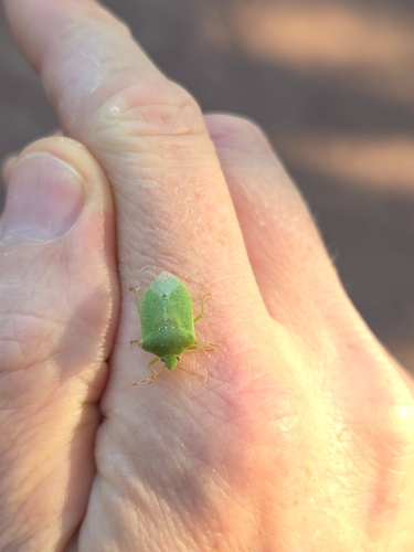
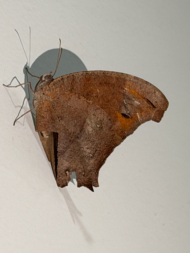
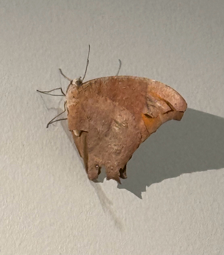
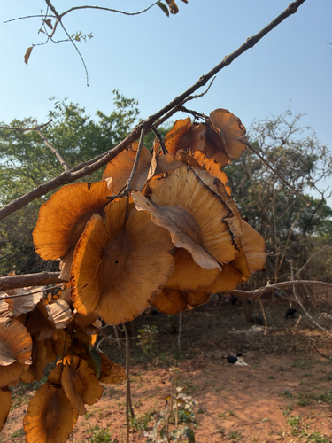
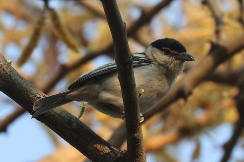
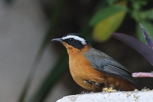
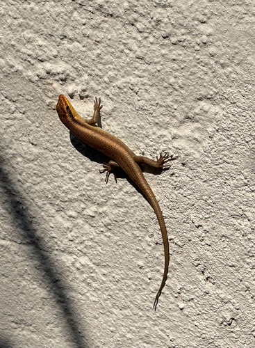
Research-grade observations from iNaturalist (within ~15 mi).
Events
Gallery
Geotagged photos within ~6 miles of Lusaka, from Wikimedia Commons contributors.
 0 mi
0 mi 0.1 mi
 0.2 mi
 0.3 mi
 0.3 mi
 0.3 mi
 0.3 mi
 0.3 mi
 0.3 mi
 0.3 mi
 0.4 mi
 0.4 mi
 0.4 mi
 0.4 mi
 0.4 mi
 0.4 mi
 0.5 mi
 0.5 mi
 0.5 mi
 0.5 mi
 0.5 mi
.jpg) 0.5 mi
0.5 mi 0.6 mi
 0.6 mi
Photos via Wikimedia Commons — see each image page for license & attribution.
Sources
- • Wikipedia
- • Open-Meteo (ERA5 reanalysis)
- • Wikimedia Commons
- • Wikidata
- • USGS Earthquake Catalog (global feed)
- • GBIF (Global Biodiversity Information Facility)
- • iNaturalist
- • Open-Meteo / sunrise-sunset.org
- • Wikipedia Pageviews API
- • Open Library