Browse / Zambia / Eastern / Malata Village
Malata Village
Easternvillage
Demographic figures from Zambia Statistics Agency. Overview below cites Wikipedia and may reference a different year.
City facts
Overview
Malata Village is a village that lies in Eastern, Zambia. Up-to-date population figures for this locality are not available in the open datasets we monitor. Malata Village maps to -13.922°, 32.320° — squarely within the tropical belt. Based on its tropical position, residents likely encounter warm temperatures throughout the year with pronounced wet and dry seasons. The location receives about 2,100 kWh/m² of solar irradiance per year and sunshine for roughly 82% of daylight hours. Open-data panels below dive into population trends, climate normals, environmental indicators and nearby places.
Summary composed automatically from structured open data on this page. See our Terms for details.
History & geography
Geography
Coordinates & boundaries from the US Census TIGER/Line shapefiles.
Climate
Air quality
Walkability
Amenities nearby
Wildlife & biodiversity
Most-observed species
- BoomslangDispholidus typus (Smith, 1828) · Squamata3
- Red-lipped SnakeCrotaphopeltis hotamboeia (Laurenti, 1768) · Squamata3
- Helmeted GuineafowlNumida meleagris (Linnaeus, 1758) · Aves2
- Common BuzzardButeo buteo (Linnaeus, 1758) · Aves2
- Black-headed HeronArdea melanocephala Children & Vigors, 1826 · Aves2
- Namaqua DoveOena capensis (Linnaeus, 1766) · Aves2
- Rock PigeonColumba livia J.F.Gmelin, 1789 · Aves2
- Boulenger's Garter SnakeElapsoidea boulengeri Boettger, 1895 · Squamata2
Citizen-science & research observations from the Global Biodiversity Information Facility (GBIF).
Earthquake history
Most recent
- M 4.5 — 2020-06-0565 km NE of Petauke, Zambia
- M 4.4 — 2016-06-2278 km WNW of Chipata, Zambia
- M 4.5 — 2013-10-0282 km NW of Chadiza, Zambia
Events from the USGS Earthquake Catalog (global) (FDSN Event Web Service).
Photos
Sights & places nearby
Notable people from here
Nearby places in Eastern
- Chimukule Village9 mi away
- Mtenguleni15.5 mi away
- Choloba Village17.1 mi away
- Kasiya44 mi away
- Wilikani Village51.1 mi away
- Timeyo Village129.1 mi away
- Kondoa665.9 mi away · pop. 80,443
- Boudtenga-Peulh2935.4 mi away · pop. 1,069
- Baossom2937.4 mi away
- Zanghindiessé2954.4 mi away
- Zouma2958.3 mi away
- Hassi R'Mel3763 mi away · pop. 22,133
Geography & sun
Elevation, sunrise/sunset and daylight from Open-Meteo. Solar climatology from NASA POWER.
Nearby airports
Public attention
Books about this place
Recent natural events nearby
Ground air-quality sensors
Recently spotted species
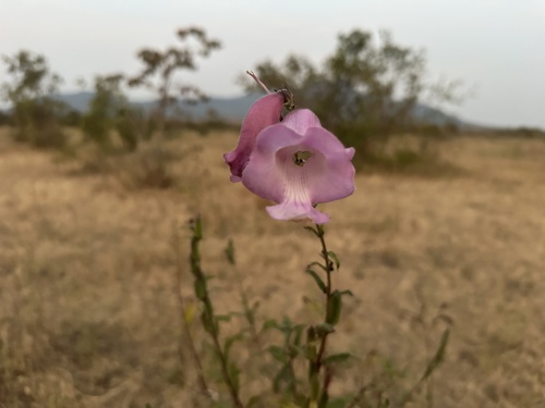
Research-grade observations from iNaturalist (within ~15 mi).
Events
Gallery
Sources
- • Wikidata
- • USGS Earthquake Catalog (global feed)
- • GBIF (Global Biodiversity Information Facility)
- • iNaturalist
- • Open-Meteo / sunrise-sunset.org