Browse / Zambia / Northern / Mbala
Mbala
Northerntown
Total population
117,823
Demographic figures from Zambia Statistics Agency. Overview below cites Wikipedia and may reference a different year.
City facts
Facts from Wikidata (CC0).
Overview
Mbala is Zambia's most northerly large town and seat of Mbala District in Northern Province, occupying a strategic location close to the border with Tanzania and controlling the southern approaches to Lake Tanganyika, 40 km by road to the north-west, where the port of Mpulungu is located. It had a population of about 20,000 in 2006. Under the name Abercorn, Mbala was a key outpost in British colonial control of this part of south-central Africa.
Read more on WikipediaHistory & geography
History
A number of archaeological sites in the area (such as at Kalambo Falls) provides a record of human activity in the Mbala area over the past 300,000 years. Before colonial times, Mbala was the village of Chief Zombe on the Lucheche River. It became the focus of British interest as a result of travels by the explorer David Livingstone, the first European to visit the area, in the 1860s. He was followed some years later by Verney Lovett Cameron who surveyed Lake Tanganyika. Livingstone inspired missionaries of the London Missionary Society to come in the 1880s to Niamkolo on the lake and Fwambo and Kawimbe on the plateau. These missions had links to the African Lakes Company which later set up in Mbala and Mpulungu. The area was ravaged by the slave trade during much of the 19th Century, and the African Lakes Company devoted some efforts to trying to stamp it out. This activity drew in the representative of the British Government in the region, Harry Johnston in Nyasaland, and decisions were taken to strengthen the imperial presence south of the lake and prevent other colonial powers establishing a foothold there. was sent by Johnston as the British Consul for the area. Marshall built a well-fortified boma at Chief Zombe's village and acted as Magistrate and Postmaster. In 1895 the British South Africa Company took over administration of the territory, called it North-Eastern Rhodesia, and the 'Zombe boma' became known as Abercorn, named after the company chairman. The site was favoured by British administrators as being healthy and having a pleasant climate with plenty of hunting and fishing. Until German East Africa was taken over by Britain in 1919 as Tanganyika, Abercorn and the smaller Chiengi boma on Lake Mweru were the most northerly outposts of British southern…
Excerpted from the corresponding Wikipedia article (CC BY-SA).
Geography
Coordinates & boundaries from the US Census TIGER/Line shapefiles.
Climate
Air quality
Walkability
Amenities nearby
Wildlife & biodiversity
Earthquake history
Photos
Sights & places nearby
Notable people from here
Nearby places in Northern
Geography & sun
Elevation, sunrise/sunset and daylight from Open-Meteo. Solar climatology from NASA POWER.
Nearby airports
Public attention
Pageview totals from the Wikimedia Pageviews API.
Books about Mbala
Search results from Open Library.
Recent natural events nearby
Ground air-quality sensors
Recently spotted species
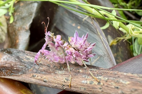
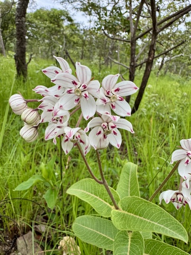
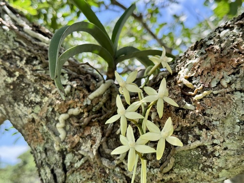
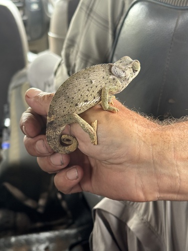
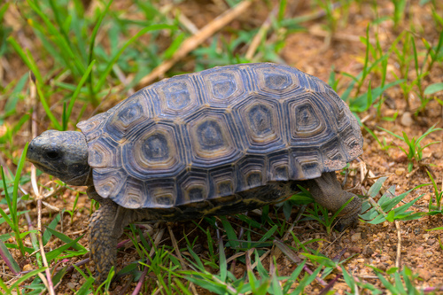
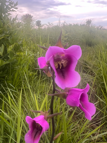
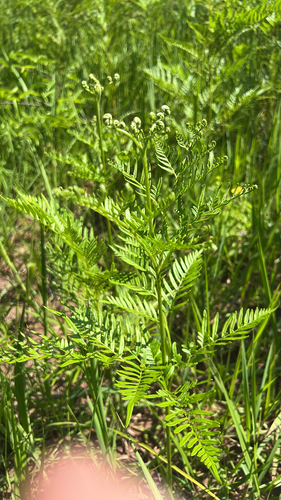
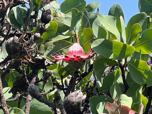
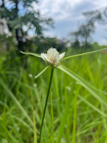
Research-grade observations from iNaturalist (within ~15 mi).
Events
Gallery
Sources
- • Wikipedia
- • Wikidata
- • iNaturalist
- • Open-Meteo / sunrise-sunset.org
- • Wikipedia Pageviews API
- • Open Library