Browse / Zambia / Muchinga / Mpika
Mpika
Muchingatown

Mpika
Total population
40,000
Demographic figures from Zambia Statistics Agency. Overview below cites Wikipedia and may reference a different year.
City facts
Overview
Mpika is a town in the Muchinga Province of Zambia, lying at the junction of the M1 road to Kasama and Mbala and the Tanzam Highway to Dar es Salaam, Tanzania in the north-east and Lusaka in the south-west. It also has a railway station on the TAZARA Railway about 5 kilometres (3 mi) west of the town centre. Mpika is situated between the Muchinga Escarpment to the east and vast miombo plains to the west. The town has an estimated population of 40,000 inhabitants (2008), while the district population is 149,063 inhabitants as of the 2022 Zambian census.
History & geography
Geography
Coordinates & boundaries from the US Census TIGER/Line shapefiles.
Climate
Air quality
Walkability
Amenities nearby
Wildlife & biodiversity
Earthquake history
Photos
Sights & places nearby
Notable people from here

People born within ~10 km, from Wikidata (CC0). Click any name for their Wikipedia article.
Nearby places in Muchinga
- Tinma2853.6 mi away
- Pépin2853.9 mi away
- Sibalo2860 mi away · pop. 1,082
- Dakoré2861.6 mi away
- Lantaga2864.8 mi away
- Nibiella2865.1 mi away
- Rakounga2865.3 mi away
- Goungré2866.9 mi away · pop. 1,434
- Pilimpikou2867.1 mi away · pop. 6,750
- Kalsaka2870.4 mi away · pop. 3,884
- Koussana2870.8 mi away · pop. 1,056
- Pélegtanga2870.8 mi away · pop. 2,641
Geography & sun
Nearby airports
Public attention
Books about this place
Recent natural events nearby
Ground air-quality sensors
Recently spotted species

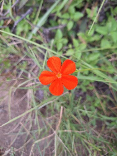
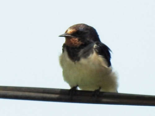
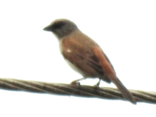
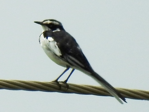
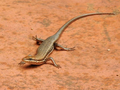
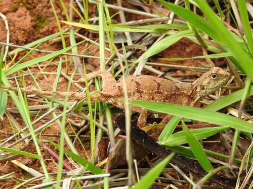
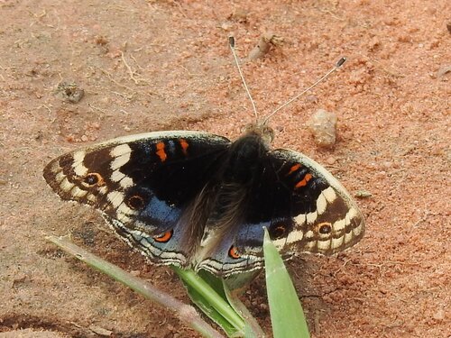
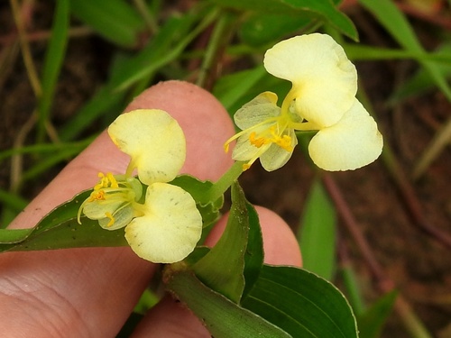
Research-grade observations from iNaturalist (within ~15 mi).
Events
Gallery
Sources
- • Wikipedia
- • Wikidata
- • iNaturalist