Browse / Zambia / Northern / Mpulungu
Mpulungu
Northerntown

Mpulungu
Total population
10,000
Demographic figures from Zambia Statistics Agency. Overview below cites Wikipedia and may reference a different year.
City facts
Facts from Wikidata (CC0).
Overview
Mpulungu is a town in the Northern Province of Zambia, at the southern tip of Lake Tanganyika.
Read more on WikipediaHistory & geography
History
In the period up to the First World War and for about a decade afterwards, all vessels at the southern end of Lake Tanganyika had to lie offshore at Katuta Bay and unload by lighter or local canoe. This was thought highly unsatisfactory as the SS Liemba was then exposed on a lee shore to storms from the Northerly trade winds which could cause a dangerous sharp swell in the shallow waters of the bay. Also the ship’s derricks could not be used efficiently to unload heavier or bulk cargoes like bags of cement or large oil drums. J.H. Venning, the British South Africa Company Provincial Commissioner in Abercorn – then the Provincial Headquarters – had imported an ex Union Castle Line lifeboat that he used for fishing on the lake. During the course of these expeditions, he had come to regard the channel between Kumbula Island and the shore line at Mpulungu as a safe haven. One evening he was discussing the Katuta Bay problem with the Captain of the SS Liemba and mentioned the protected channel. Between them they then formed a plan to take the Governor, who was to visit shortly, on a fishing trip. The fishing expedition duly took place in 1925. Venning took his boat into the channel and they landed and had a splendid picnic provided by the cook of the SS Liemba. When everyone was comfortable and excellent fishing and a good lunch and Champagne been enjoyed, Venning turned to the Captain of SS Liemba and said in as casual a tone of voice “Wouldn’t this make a good place for a harbour?” The Captain then replied with enthusiasm pointing out its many advantages. The Governor, at his ease and relaxed, then asked how much Venning thought it would cost. He probably thought that the cost would be so great that he could rule it out immediately. But Venning said “ Well I think I…
Excerpted from the corresponding Wikipedia article (CC BY-SA).
Geography
Coordinates & boundaries from the US Census TIGER/Line shapefiles.
Climate
Air quality
Walkability
Amenities nearby
Wildlife & biodiversity
Earthquake history
Photos
Sights & places nearby
Notable people from here
Nearby places in Northern
Geography & sun
Elevation, sunrise/sunset and daylight from Open-Meteo. Solar climatology from NASA POWER.
Nearby airports
Public attention
Pageview totals from the Wikimedia Pageviews API.
Books about this place
Recent natural events nearby
Ground air-quality sensors
Recently spotted species
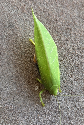
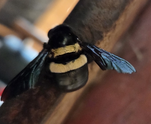
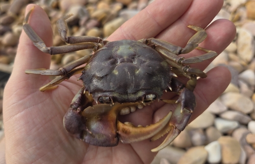
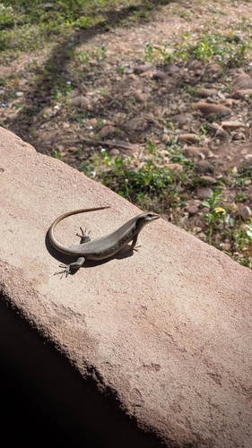
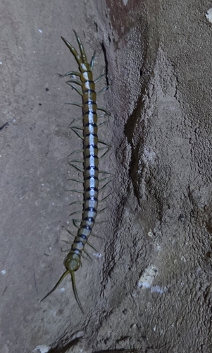
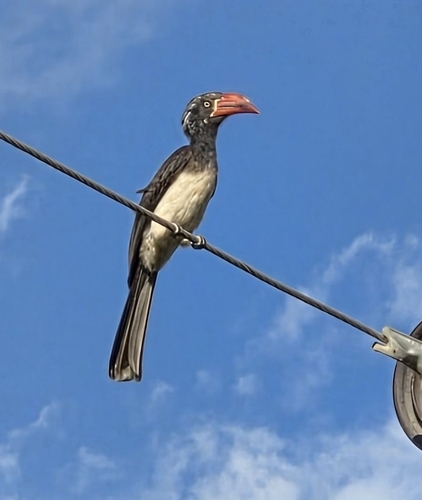
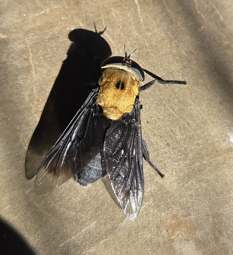
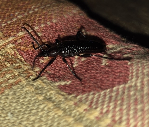
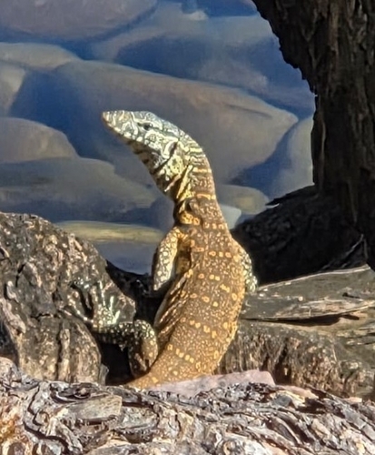
Research-grade observations from iNaturalist (within ~15 mi).
Events
Gallery
Sources
- • Wikipedia
- • Wikidata
- • iNaturalist
- • Open-Meteo / sunrise-sunset.org
- • Wikipedia Pageviews API