Browse / Zambia / Eastern / Petauke
Petauke
Easterntown

Featured view
Petauke
Elevation932 m
Coordinates-14.25°, 31.33°
Demographic figures from Zambia Statistics Agency. Overview below cites Wikipedia and may reference a different year.
Loading additional data from public sources…0 / 11
CensusWikipediaWeatherPlacesPeopleEnvironmentHealth & SchoolsRelatedGeography & CultureLive MonitoringEvents & Gallery
0% completeCity facts
Elevation
932 m
Facts from Wikidata (CC0).
Overview
Petauke is a town and seat of Petauke District located in the Eastern Province of Zambia.
Read more on WikipediaHistory & geography
Geography
Latitude
-14.2502
Longitude
31.3298
Water area
—
Coordinates & boundaries from the US Census TIGER/Line shapefiles.
Climate
Air quality
Walkability
Amenities nearby
Wildlife & biodiversity
Earthquake history
Photos
Sights & places nearby
Notable people from here
Nearby places in Eastern
Geography & sun
Avg solar (kWh/m²/day)
5.71
Annual solar (kWh/m²)
2,085
Elevation, sunrise/sunset and daylight from Open-Meteo. Solar climatology from NASA POWER.
Nearby airports
Public attention
Wikipedia views (last 30 days)
118
Avg daily Wikipedia views
4
Attention level
Obscure
Pageview totals from the Wikimedia Pageviews API.
Books about Petauke
Graphite of the Petauke district, eastern province
A. R. Drysdall · 1960
The economic impact of colonial rule on Eastern Zambia, 1900-1955
Joseph Phillip Mtisi · 1979
Revised plan for North Nyamphande settlement scheme, Petauke District, Eastern Province
Graham White · 1972
The geology of the Petauke and Mwanjawantu areas, explanation of degree sheet 1431, NW. quarter and part of SW. quarter
K. A. Phillips · 1965
Search results from Open Library.
Recent natural events nearby
Ground air-quality sensors
Recently spotted species
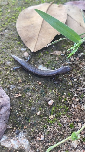
Wahlberg's Snake-eyed Skink
Panaspis wahlbergii
Seen 2026-03-25
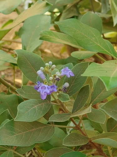
simpleleaf chastetree
Vitex trifolia
Seen 2023-07-07
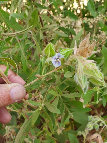
camel bush
Trichodesma zeylanicum
Seen 2023-07-07
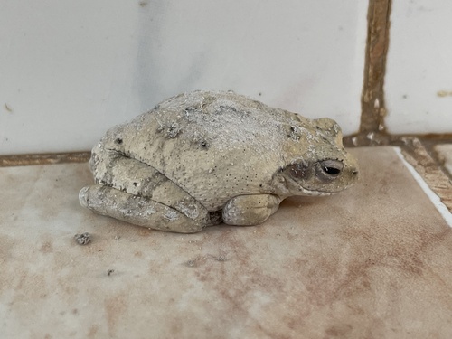
Grey Foam-nest Tree Frog
Chiromantis xerampelina
Seen 2023-06-24
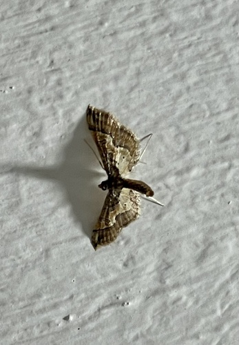
Ornate Hydriris Moth
Hydriris ornatalis
Seen 2023-06-24
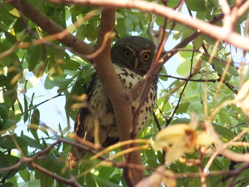
African Barred Owlet
Glaucidium capense
Seen 2019-10-27
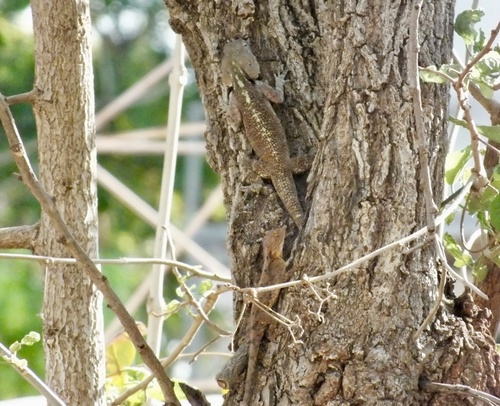
Bill's tree agama
Acanthocercus branchi
Seen 2019-10-24
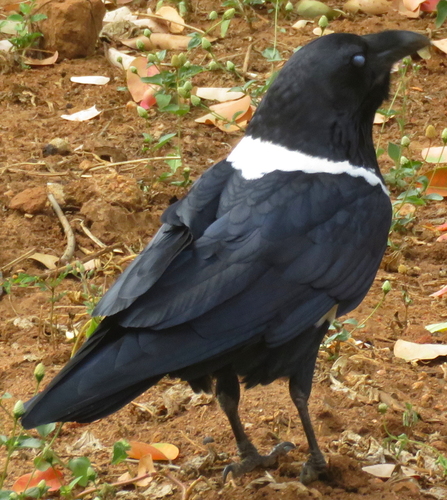
Pied Crow
Corvus albus
Seen 2018-05-17
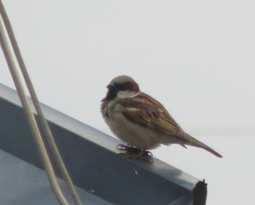
House Sparrow
Passer domesticus
Seen 2018-05-17
Research-grade observations from iNaturalist (within ~15 mi).
Events
Gallery
Sources
- • Wikipedia
- • Wikidata
- • iNaturalist
- • Open-Meteo / sunrise-sunset.org
- • Wikipedia Pageviews API
- • Open Library