Browse / Zimbabwe / Bulawayo / Bulawayo
Bulawayo
Bulawayocity

Bulawayo
Total population
653,337
Founded
1840
Demographic figures from ZIMSTAT. Overview below cites Wikipedia and may reference a different year.
City facts
Facts from Wikidata (CC0).
Overview
Bulawayo is the second largest city in Zimbabwe, and the largest city in the country's Matabeleland region. The city's population is disputed; the 2022 census listed it at 665,940, while the Bulawayo City Council claimed it to be about 1.2 million. Bulawayo covers an area of 546 square kilometres in the western part of the country, along the Matsheumhlope River. Along with the capital Harare, Bulawayo is one of two cities in Zimbabwe that are also provinces.
Read more on WikipediaHistory & geography
History
The city was founded by the Ndebele king Lobengula, the son of King Mzilikazi, born of Matshobana, This followed the Ndebele people's great trek from northern Kwazulu. The name Bulawayo comes from the Ndebele word bulala and it translates to "the one to be killed". It is thought that at the time of the formation of the city there was a civil war. Mbiko ka Madlenya Masuku, a trusted confidant of King Mzilikazi and leader of the Zwangendaba regiment, fought Prince Lobhengula as he did not believe that he was the legitimate heir to the throne. This was because Lobhengula was born to a Swazi mother, and Masuku felt that she was of a lesser class. At the time Lobengula was a prince fighting to ascend his father's throne. It was common at the time for people to refer to Bulawayo as Bulawayo UmntwaneNkosi, "a place where they are fighting or rising against the prince". The city of Bulawayo coincidentally has a similar name to the capital of the great Zulu warrior king Shaka ka Senzangakhona in Kwazulu, where Mzilikazi and his Khumalo clan and other Nguni people came from. In the 1860s, the city was influenced by European intrigue. Many colonial powers cast covetous eyes on Bulawayo and the land surrounding it because of its strategic location. Britain made skilful use of private initiative in the shape of Cecil Rhodes and the Chartered Company to disarm the suspicion of her rivals. Lobengula once described Britain as a chameleon and himself as the fly. During the 1893 First Matabele War, British South Africa Company (BSAC) troops invaded and forced King Lobengula to evacuate his followers, after first detonating munitions and setting fire to the town. BSAC troops and white settlers occupied the ruins. On 4 November 1893, Leander Starr Jameson declared Bulawayo a settlement…
Geography
Bulawayo is located in the south west of Zimbabwe, in the middle of savanna country. It has four seasons, with rains starting in late October to about March. The coldest months are May and June with July being cold and windy. The city sits on a plain that marks the Highveld of Zimbabwe and is close to the watershed between the Zambezi and Limpopo drainage basins. The land slopes gently downwards to the north and northwest. The southern side is hillier, and the land becomes more broken in the direction of the Matobo Hills to the south. Under the Köppen climate classification, Bulawayo features a hot semi-arid climate (BSh). Due to its relatively high altitude, the city has fairly moderate temperatures despite lying in the tropics. The mean annual temperature is , similar to Pretoria, which is a similar elevation but almost further south. As with much of southern and eastern Zimbabwe, Bulawayo is cooled by a prevailing southeasterly airflow most of the year and experiences three broad seasons: a dry, cool winter season from May to August; a hot dry period in early summer from late August to early November; and a warm wet period for the rest of the summer, early November to April. The hottest month is October, which is usually the height of the dry season. The average maximum temperature ranges from in July to in October. During the rainy season, daytime maxima are around . Nights are always cool, ranging from in July to in January. The city's average annual rainfall is , which supports open woodland vegetation, dominated by Combretum and Terminalia trees. Most rain falls between December and February, while June to August is usually rainless. Being close to the Kalahari Desert, Bulawayo is vulnerable to droughts and rainfall tends to vary sharply from year to…
Excerpted from the corresponding Wikipedia article (CC BY-SA).
Geography
Coordinates & boundaries from the US Census TIGER/Line shapefiles.
Climate
Air quality
Walkability
Amenities nearby
Wildlife & biodiversity
Most-observed species
- Laughing DoveSpilopelia senegalensis (Linnaeus, 1766) · Aves563
- Common BulbulPycnonotus barbatus (Desfontaines, 1789) · Aves503
- Pied CrowCorvus albus Statius Muller, 1776 · Aves438
- Crested BarbetTrachyphonus vaillantii Ranzani, 1821 · Aves388
- Southern CordonbleuUraeginthus angolensis (Linnaeus, 1758) · Aves373
- Black-collared BarbetLybius torquatus (Dumont, 1805) · Aves354
- Gray Go-away-birdCorythaixoides concolor (A.Smith, 1833) · Aves334
- Red-eyed DoveStreptopelia semitorquata (Rüppell, 1837) · Aves318
Citizen-science & research observations from the Global Biodiversity Information Facility (GBIF).
Earthquake history
Events from the USGS Earthquake Catalog (global) (FDSN Event Web Service).
Photos
Sights & places nearby
Notable people from here


People born within ~10 km, from Wikidata (CC0). Click any name for their Wikipedia article.
Nearby places in Bulawayo
Geography & sun
Elevation, sunrise/sunset and daylight from Open-Meteo. Solar climatology from NASA POWER.
Nearby airports
Public attention
Pageview totals from the Wikimedia Pageviews API.
Books about Bulawayo
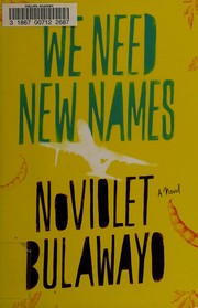


Search results from Open Library.
Recent natural events nearby
Ground air-quality sensors
Recently spotted species
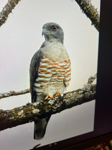
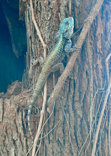
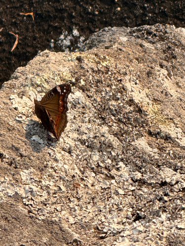
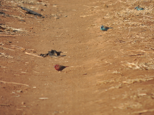
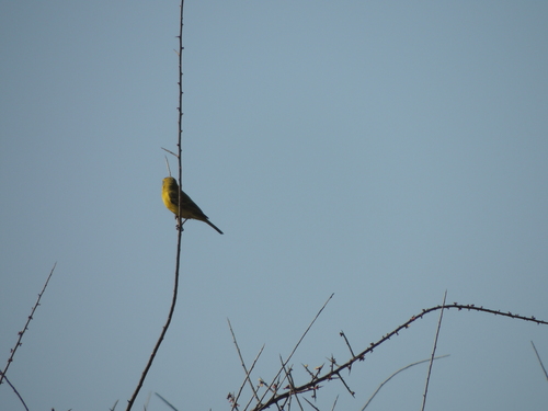
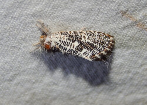
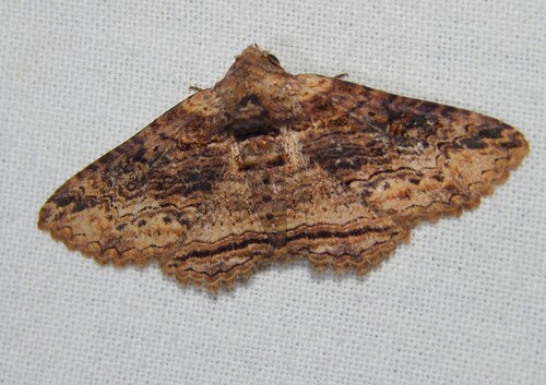
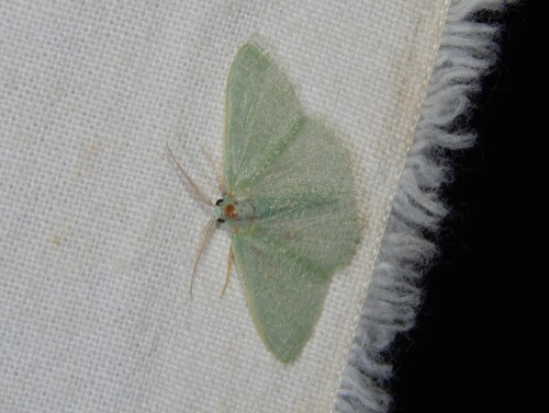
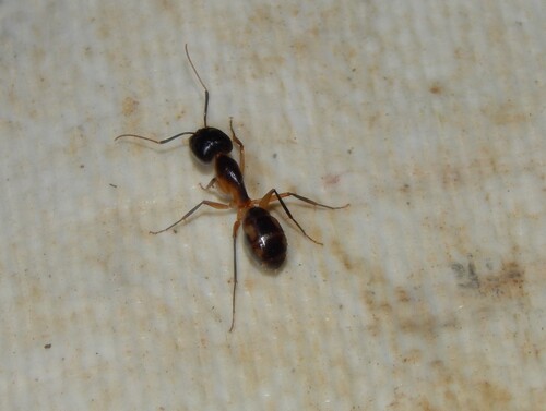
Research-grade observations from iNaturalist (within ~15 mi).
Events
Gallery
Sources
- • Wikipedia
- • Wikidata
- • USGS Earthquake Catalog (global feed)
- • GBIF (Global Biodiversity Information Facility)
- • iNaturalist
- • Open-Meteo / sunrise-sunset.org
- • Wikipedia Pageviews API
- • Open Library