Browse / Zimbabwe / Mashonaland West / Chinhoyi
Chinhoyi
Mashonaland Westtown
Total population
56,794
Air quality index
Demographic figures from ZIMSTAT. Overview below cites Wikipedia and may reference a different year.
City facts
Facts from Wikidata (CC0).
Overview
Chinhoyi, previously known as Sinoia during the colonial era, is a city in the Makonde District of central northern Zimbabwe. It has a population of 90,800 and is primarily a college town, although it was originally founded as an Italian group settlement scheme. The nearby Chinhoyi Caves and national park are a popular attraction.
Read more on WikipediaHistory & geography
History
The town was established as Sinoia in 1906, as a group settlement scheme by a wealthy Italian, Lieutenant Margherito Guidotti. He encouraged ten Italian families to settle here. The Rhodesian Bush War started in this town in the area occupied by the Chinhoyi Provincial Hospital. The name Sinoria derives from Tjinoyi, a Lozwi/Rozwi Chief who is believed to have been a son of Lukuluba (corrupted to Mukuruva by the Zezuru), who was the third son of Emperor Netjasike. The Kalanga (Lozwi/Rozwi name) was changed to Sinoia by the white settlers and later Chinhoyi by the Zezuru.
Geography
Chinhoyi is located on the western banks of the Manyame River, in Makonde District, in Mashonaland West Province in central northern Zimbabwe. Its location lies approximately by road, northwest of Harare the capital of Zimbabwe and the largest city in the country. Chinhoyi lies on the main road, Highway A-1, between Harare and Chirundu, at the international border with Zambia, about , further northwest of Chinhoyi. The geographical coordinates of Chinhoyi are:17°20'59.0"S, 30°11'40.0"E (Latitude:-17.349722; Longitude:30.194444). Chinhoyi sits at an average elevation of above mean sea level. There are a number of small towns which are close to Chinhoyi. Banket lies about , southeast of Chinhoyi on the road to Harare, while Alaska lies approximately directly west of town, and Lion's Den lies about northwest of Chinhoyi on the road to Chirundu.
Excerpted from the corresponding Wikipedia article (CC BY-SA).
Geography
Coordinates & boundaries from the US Census TIGER/Line shapefiles.
Climate
Air quality
Current readings from Open-Meteo Air Quality API (Copernicus CAMS European reanalysis).
Walkability
Amenities nearby
Wildlife & biodiversity
Most-observed species
- Red-eyed DoveStreptopelia semitorquata (Rüppell, 1837) · Aves165
- Black-collared BarbetLybius torquatus (Dumont, 1805) · Aves159
- Dark-capped BulbulPycnonotus tricolor (Hartlaub, 1862) · Aves156
- Southern CordonbleuUraeginthus angolensis (Linnaeus, 1758) · Aves153
- White-browed Robin-ChatCossypha heuglini Hartlaub, 1866 · Aves152
- Black-backed PuffbackDryoscopus cubla (Latham, 1802) · Aves141
- Emerald-spotted Wood-DoveTurtur chalcospilos (Wagler, 1827) · Aves130
- Rattling CisticolaCisticola chiniana (A.Smith, 1843) · Aves127
Citizen-science & research observations from the Global Biodiversity Information Facility (GBIF).
Earthquake history
Events from the USGS Earthquake Catalog (global) (FDSN Event Web Service).
Photos
Sights & places nearby
Notable people from here


People born within ~10 km, from Wikidata (CC0). Click any name for their Wikipedia article.
Geography & sun
Elevation, sunrise/sunset and daylight from Open-Meteo. Solar climatology from NASA POWER.
Nearby airports
Public attention
Pageview totals from the Wikimedia Pageviews API.
Books about this place
Recent natural events nearby
Ground air-quality sensors
Recently spotted species
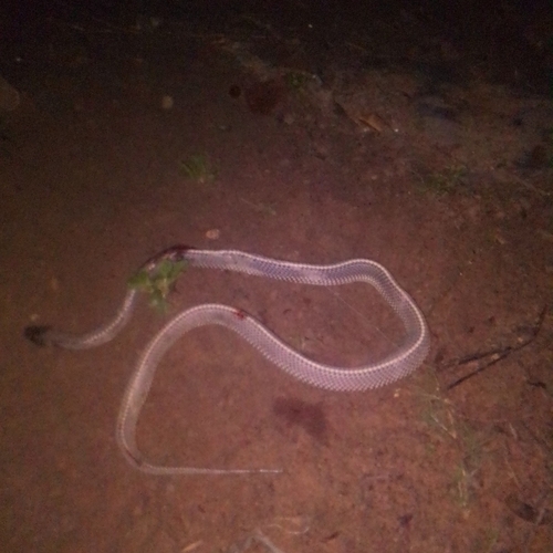
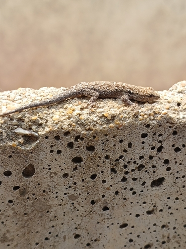
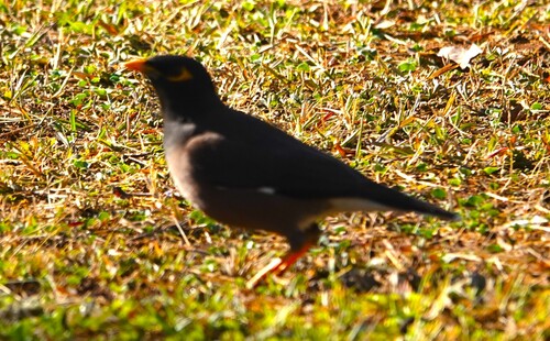
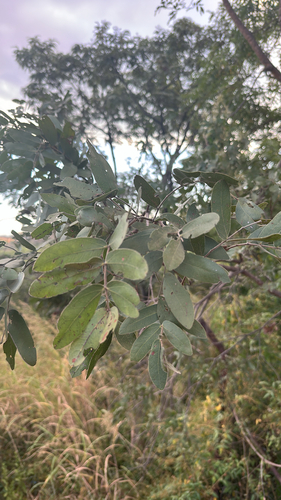
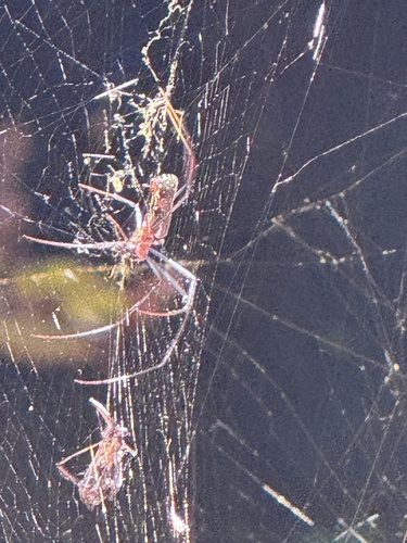
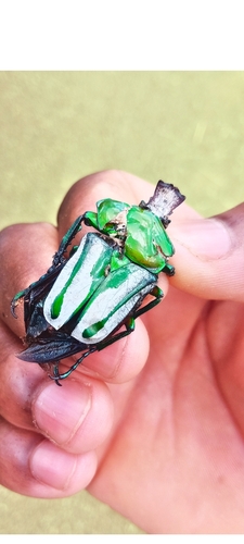
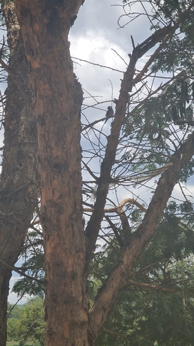
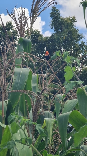
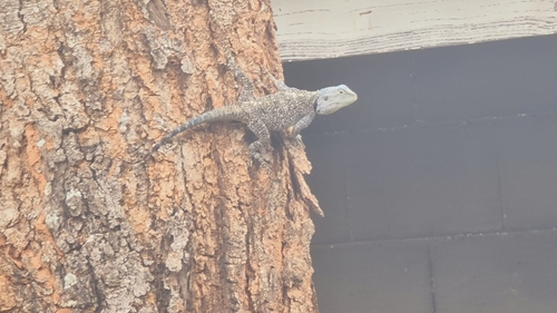
Research-grade observations from iNaturalist (within ~15 mi).
Events
Gallery
Sources
- • Wikipedia
- • Wikidata
- • Open-Meteo Air Quality (CAMS)
- • USGS Earthquake Catalog (global feed)
- • GBIF (Global Biodiversity Information Facility)
- • iNaturalist
- • Open-Meteo / sunrise-sunset.org
- • Wikipedia Pageviews API