Browse / Zimbabwe / Matabeleland South / Esibomvu
Esibomvu
Matabeleland Southvillage
Demographic figures from ZIMSTAT. Overview below cites Wikipedia and may reference a different year.
City facts
Overview
Within Matabeleland South, Zimbabwe, Esibomvu stands as a village. Its coordinates of -20.402°, 28.894° place it in the tropical zone of the southern hemisphere. No reliable population estimate is published for this entry in the open data we rely on. Climatically, locations at this latitude tend to experience warm temperatures throughout the year with pronounced wet and dry seasons. Solar-resource estimates put the area at about 2,125 kWh/m² of solar irradiance per year with sunshine for roughly 83% of daylight hours. The sections below expand on demographics, weather, terrain, hazards and nearby points of interest using publicly available datasets.
Summary composed automatically from structured open data on this page. See our Terms for details.
History & geography
Geography
Coordinates & boundaries from the US Census TIGER/Line shapefiles.
Climate
Air quality
Walkability
Amenities nearby
Wildlife & biodiversity
Most-observed species
- Pied CrowCorvus albus Statius Muller, 1776 · Aves10
- Three-Forked EuphorbiaEuphorbia matabelensis Pax · Magnoliopsida8
- Burks SundewDrosera burkeana Planch. · Magnoliopsida8
- Mountain AcaciaBrachystegia tamarindoides Welw. ex Benth. · Magnoliopsida7
- blue gemCraterostigma plantagineum Hochst. · Magnoliopsida7
- African Rock FigFicus glumosa Delile · Magnoliopsida7
- Gray Go-away-birdCorythaixoides concolor (A.Smith, 1833) · Aves6
- Common BulbulPycnonotus barbatus (Desfontaines, 1789) · Aves6
Citizen-science & research observations from the Global Biodiversity Information Facility (GBIF).
Earthquake history
Events from the USGS Earthquake Catalog (global) (FDSN Event Web Service).
Photos
Sights & places nearby
Notable people from here
Nearby places in Matabeleland South
- Cyrene31.6 mi away
- Killarney34.1 mi away
- Gwanda38 mi away · pop. 14,450
- Al Jassasiya3541.4 mi away
- Ain Sinan3542.1 mi away
- Madinat ash Shamal3545.6 mi away
- Al Ruwais3545.9 mi away
- Mihai Viteazu4605.1 mi away · pop. 355
- Vulcan4605.2 mi away · pop. 94
- Saschiz4608 mi away · pop. 1,591
- Aurel Vlaicu4608.3 mi away · pop. 120
- Daneș4610.9 mi away · pop. 2,294
Geography & sun
Elevation, sunrise/sunset and daylight from Open-Meteo. Solar climatology from NASA POWER.
Nearby airports
Public attention
Books about this place
Recent natural events nearby
Ground air-quality sensors
Recently spotted species
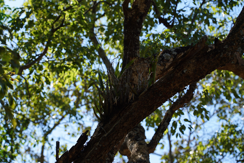
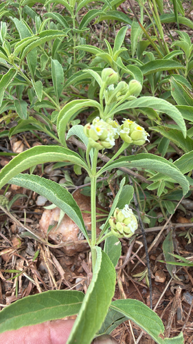
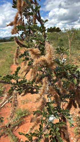
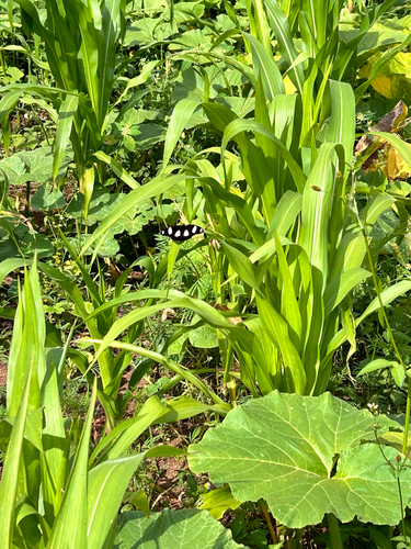
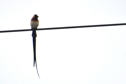
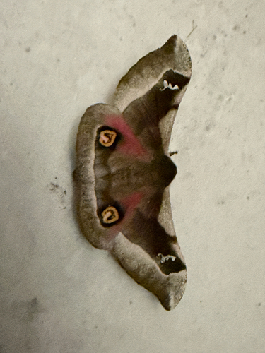
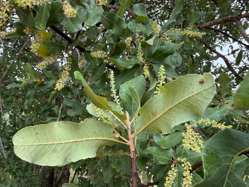
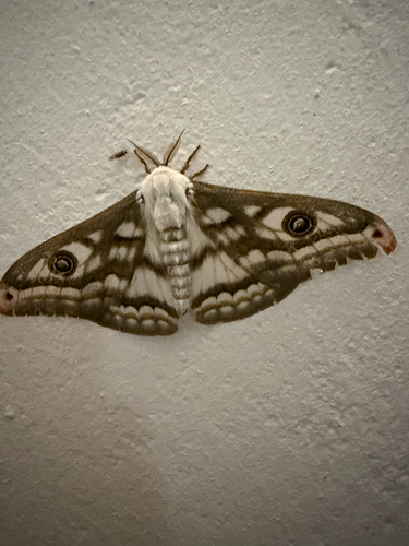
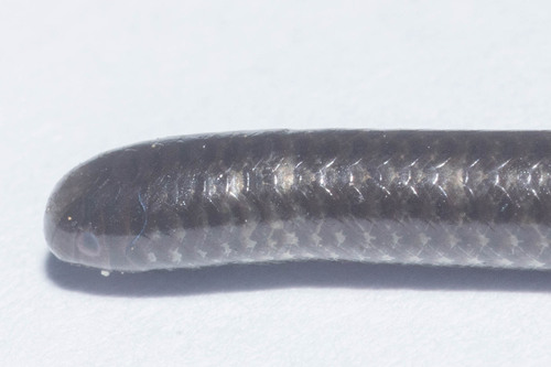
Research-grade observations from iNaturalist (within ~15 mi).
Events
Gallery
Sources
- • Wikidata
- • USGS Earthquake Catalog (global feed)
- • GBIF (Global Biodiversity Information Facility)
- • iNaturalist
- • Open-Meteo / sunrise-sunset.org