Browse / Zimbabwe / Mashonaland West / Kadoma
Kadoma
Mashonaland Westcity

Kadoma
Total population
77,749
Air quality index
Demographic figures from ZIMSTAT. Overview below cites Wikipedia and may reference a different year.
City facts
Facts from Wikidata (CC0).
Overview
Kadoma, formerly known as Gatooma, is a city in Zimbabwe.
Read more on WikipediaHistory & geography
History
The city of Kadoma was known as Gatooma until after independence, on 18 April 1982, when new names for 32 places were gazetted. Gatooma was founded in the 1890s as a mining camp, and constituted under a village management board in 1907. The settlement was named after the nearby kraal of Chief Katuma, who is represented on the town's coat of arms by the mountain bearing his name and the chief's badge of office. The Specks Hotel was opened in 1907, and Jameson High School started the same year when Amelia Fitt, wife of the first mayor of Kadoma, started to give classes to the town children in her house. In 1917 Gatooma Municipality was created. A public electricity supply was introduced in Kadoma in 1922. The Grand Hotel opened in 1925 and had a sprung floor for dancing, the first such floor in Zimbabwe. In the 1970s Gatooma held highland games which was attended by the Salisbury Caledonian Society Pipe Band, Churchill School Pipe Band from Salisbury and the Northlea School Pipe Band from Bulawayo. The compound in which the workers lived in the 1960s and 70s was known as "Rio Tinto", Zimbabwe international player John Phiri, who also played in Europe, played for Rio Tinto as well as the State House Tornadoes and Darryn Textiles teams. The club continued into the 1990s. Coaches included John Rugg and Peter Phiri, (c.1938 – 23 March 2023). and other players at the club included Joseph Zulu and Gibson Sibanda (both later politicians), Ephert Lungu, Robert Godoka, Wonder Phiri, Stanley Nyika, goalkeeper Raphael Phiri,
Geography
The city is located in Kadoma District, Mashonaland West Province, one of the 10 administrative provinces in Zimbabwe. This location lies approximately , by road, southwest of Harare, the national capital and largest city in the country. The city lies on Highway A-5, between Harare and Bulawayo, approximately northeast of Bulawayo. Kadoma is situated at an elevation of above sea level.
Excerpted from the corresponding Wikipedia article (CC BY-SA).
Geography
Coordinates & boundaries from the US Census TIGER/Line shapefiles.
Climate
Air quality
Current readings from Open-Meteo Air Quality API (Copernicus CAMS European reanalysis).
Walkability
Amenities nearby
Wildlife & biodiversity
Most-observed species
- Tawny-flanked PriniaPrinia subflava (Gmelin, 1789) · Aves7
- Common MynaAcridotheres tristis (Linnaeus, 1766) · Aves5
- Black-backed PuffbackDryoscopus cubla (Latham, 1802) · Aves4
- African Palm-SwiftCypsiurus parvus (M.H.K.Lichtenstein, 1823) · Aves3
- Yellow-fronted TinkerbirdPogoniulus chrysoconus (Temminck, 1832) · Aves3
- Black-collared BarbetLybius torquatus (Dumont, 1805) · Aves3
- Pied CrowCorvus albus Statius Muller, 1776 · Aves3
- Common BulbulPycnonotus barbatus (Desfontaines, 1789) · Aves3
Citizen-science & research observations from the Global Biodiversity Information Facility (GBIF).
Earthquake history
Events from the USGS Earthquake Catalog (global) (FDSN Event Web Service).
Photos
Sights & places nearby
Notable people from here
People born within ~10 km, from Wikidata (CC0). Click any name for their Wikipedia article.
Nearby places in Mashonaland West
Geography & sun
Elevation, sunrise/sunset and daylight from Open-Meteo. Solar climatology from NASA POWER.
Nearby airports
Public attention
Pageview totals from the Wikimedia Pageviews API.
Books about this place
Recent natural events nearby
Ground air-quality sensors
Recently spotted species
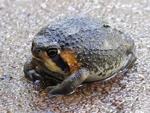
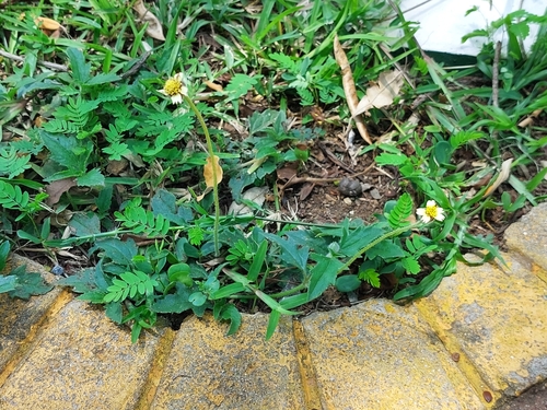
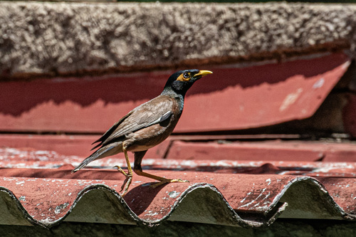
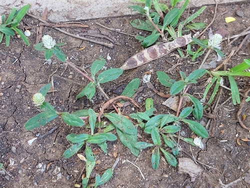
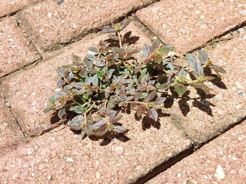
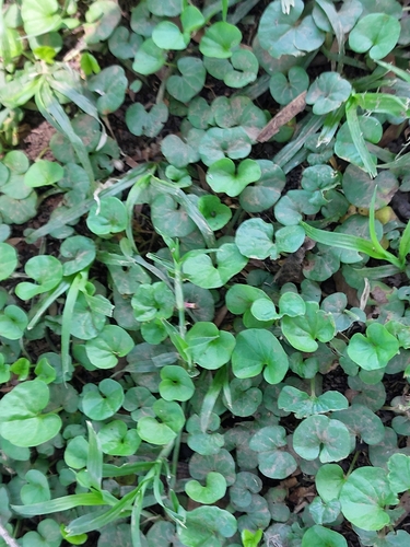
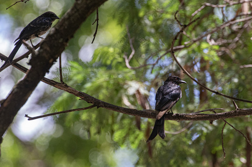
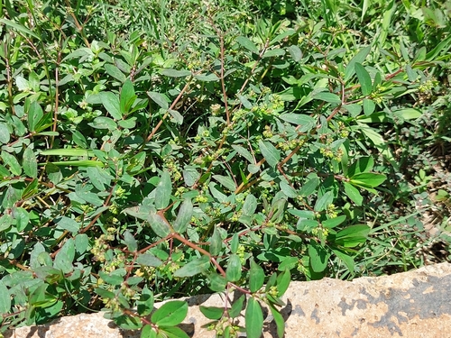
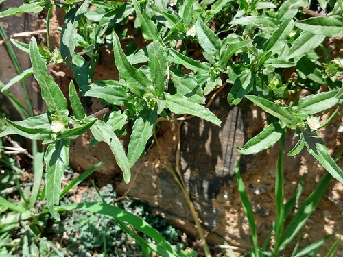
Research-grade observations from iNaturalist (within ~15 mi).
Events
Gallery
Sources
- • Wikipedia
- • Wikidata
- • Open-Meteo Air Quality (CAMS)
- • USGS Earthquake Catalog (global feed)
- • GBIF (Global Biodiversity Information Facility)
- • iNaturalist
- • Open-Elevation
- • Open-Meteo / sunrise-sunset.org
- • Wikipedia Pageviews API