Browse / Zimbabwe / Mashonaland West / Kariba
Kariba
Mashonaland Westtown
Total population
24,210
Air quality index
Demographic figures from ZIMSTAT. Overview below cites Wikipedia and may reference a different year.
City facts
Facts from Wikidata (CC0).
Overview
Kariba is a resort town in Mashonaland West province, Zimbabwe, located close to the Kariba Dam at the north-eastern end of Lake Kariba, near the Zambian border. According to the 2022 Population Census, the town had a population of 27,600.
Read more on WikipediaHistory & geography
History
The pre-colonial population of the area were Tonga. The town was established to house workers who were constructing the dam in the mid to late 1950s and was constructed by the contractor Costain. After the completion of the dam wall and the power station (Kariba South Power Station) quite a few impressive monuments were built in the early 1960s i.e. the Roman Catholic church located at the Kariba Heights (St. Barbara) and next to it the Pat McClean Theatre named after Patricia McClean a well known wealthy resident of Kariba Heights. On 11 August 2026, the ferry Mbuya Nehanda running from Kariba to Chalala capsized, resulting in the death of at least 72 people, including 18 children. It is believed to be the deadliest boat disaster in Zimbabwe's history.
Geography
Kariba is located on Lake Kariba, a reservoir created by Kariba Dam on the Zambezi River. Kariba has three main suburbs: Mahombekombe, the older poorer lakeshore high density suburb, Nyamhunga the newer high density suburb and Kariba Heights, the wealthier hilltop suburb and location of the Operation Noah monument. As the name suggests the heights overlook the surrounding region and offer impressive views of Lake Kariba and the opposite lakeshore to the south. The town has road links connecting it to Harare and to the border of Zambia. It is serviced by Kariba Airport, and has ferry service to Victoria Falls via Mlibizi Fishing camp.
Excerpted from the corresponding Wikipedia article (CC BY-SA).
Geography
Coordinates & boundaries from the US Census TIGER/Line shapefiles.
Climate
10-year averages from ERA5 reanalysis (Open-Meteo).
Air quality
Current readings from Open-Meteo Air Quality API (Copernicus CAMS European reanalysis).
Walkability
Amenities nearby
Wildlife & biodiversity
Most-observed species
- African Fish-EagleHaliaeetus vocifer (Daudin, 1800) · Aves86
- Fork-tailed DrongoDicrurus adsimilis (Bechstein, 1794) · Aves70
- Ring-necked DoveStreptopelia capicola (Sundevall, 1857) · Aves60
- Common BulbulPycnonotus barbatus (Desfontaines, 1789) · Aves59
- Pied KingfisherCeryle rudis (Linnaeus, 1758) · Aves53
- Southern CordonbleuUraeginthus angolensis (Linnaeus, 1758) · Aves53
- Meves's StarlingLamprotornis mevesii (Wahlberg, 1856) · Aves51
- Wire-tailed SwallowHirundo smithii Leach & K.D.Koenig, 1818 · Aves50
Citizen-science & research observations from the Global Biodiversity Information Facility (GBIF).
Earthquake history
Most recent
- M 4.3 — 2025-01-0532 km S of Kariba, Zimbabwe
- M 4.9 — 2024-12-2317 km S of Kariba, Zimbabwe
- M 4.9 — 2024-12-2021 km S of Kariba, Zimbabwe
- M 4.6 — 2024-12-2023 km SSE of Kariba, Zimbabwe
- M 4.2 — 2024-12-0821 km SSE of Kariba, Zimbabwe
- M 4.1 — 2022-08-0239 km SW of Siavonga, Zambia
Events from the USGS Earthquake Catalog (global) (FDSN Event Web Service).
Photos
Sights & places nearby
Notable people from here
People born within ~10 km, from Wikidata (CC0). Click any name for their Wikipedia article.
Nearby places in Mashonaland West
- Charara11.8 mi away
- Dandawa18.6 mi away
- Msampa Fishing Village32.8 mi away · pop. 200
- Masanga33.4 mi away
- Chirundu33.6 mi away · pop. 1,000
- Makuti34.7 mi away
- Zvipani Business Center42.8 mi away
- Magunje48 mi away
- Siakobvu49.9 mi away
- Chidamoyo50.7 mi away
- Mashongwe51.1 mi away
- Jamba Business Centre54.1 mi away
Geography & sun
Elevation, sunrise/sunset and daylight from Open-Meteo. Solar climatology from NASA POWER.
Nearby airports
Public attention
Pageview totals from the Wikimedia Pageviews API.
Books about this place
Recent natural events nearby
Ground air-quality sensors
Recently spotted species
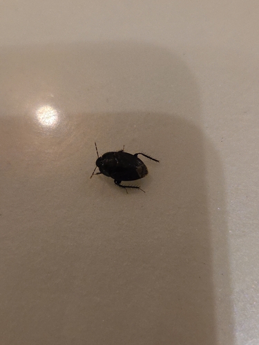
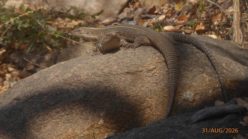
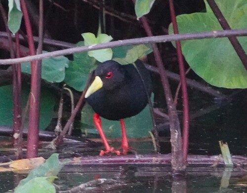
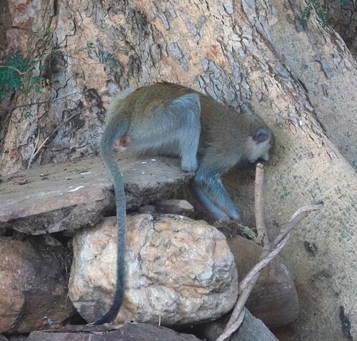
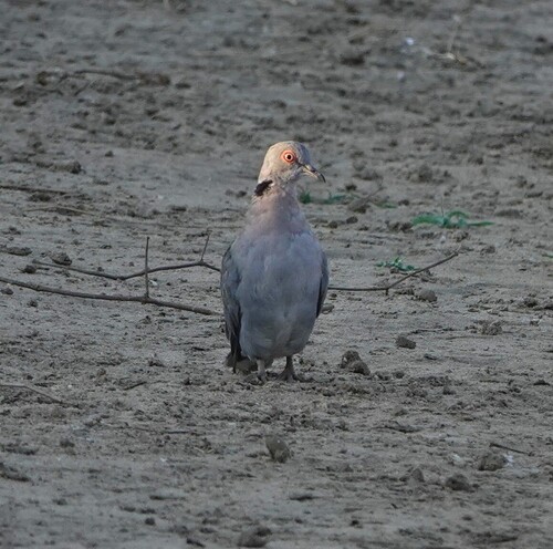
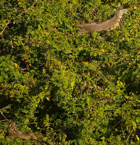
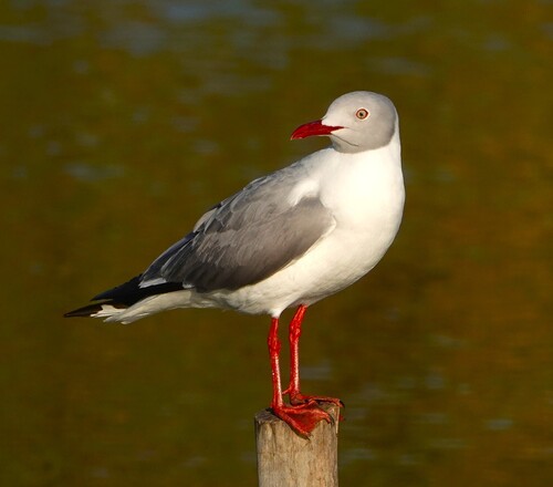
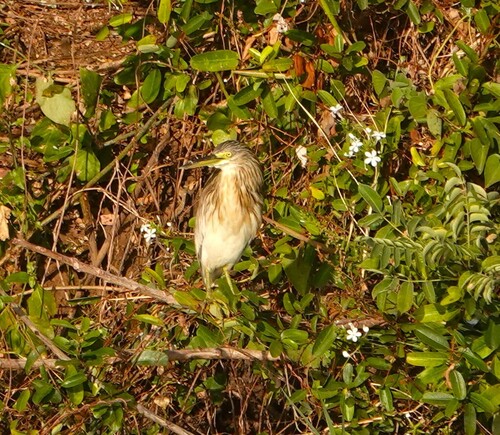
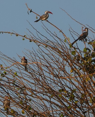
Research-grade observations from iNaturalist (within ~15 mi).
Events
Gallery
Sources
- • Wikipedia
- • Open-Meteo (ERA5 reanalysis)
- • Wikidata
- • Open-Meteo Air Quality (CAMS)
- • USGS Earthquake Catalog (global feed)
- • GBIF (Global Biodiversity Information Facility)
- • iNaturalist
- • Open-Elevation
- • Open-Meteo / sunrise-sunset.org
- • Wikipedia Pageviews API