Browse / Zimbabwe / Matabeleland North / Lupane
Lupane
Matabeleland Northtown

Lupane
Total population
1,600
Founded
1900
Air quality index
Demographic figures from ZIMSTAT. Overview below cites Wikipedia and may reference a different year.
City facts
Facts from Wikidata (CC0).
Overview
Lupane ( luːpɑːnɛ) District is located in the Matabeleland North Province of Zimbabwe, and it is also the Provincial Capital. The District is situated at an elevation of 976 m with a population of 107,000 inhabitants by 2022. Lupane Town is the main center of the district located 172 km from Bulawayo along the A8 Victoria Falls Road. The Government Provincial Administrative offices are located at the Town Centre. A new university near the Town has been established under the name Lupane State University, which caters for the region and beyond. The word Lupane is thought to be a Kalanga or Lozwi word.
Read more on WikipediaHistory & geography
History
Although Lupane history has not been properly documented, the area is thought to have been occupied by the Tonga people who were pushed further up Northwards to present day Binga District by the arrival of King Mzilikazi during the establishment of the Ndebele Kingdom in Matabeleland. To this present day, the area is predominantly Ndebele speaking people, who were also ruled by King Lobengula after taking over from Mzilikazi. Two of Lobengula's counsellors, Magwegwe Fuyana and Mhlanga were buried in Lupane, [https://www.google.ie/maps/place/Pupu+Shangani+memorial/@-18.7964902,28.053664,17z/data=!4m12!1m6!3m5!1s0x194987fe755ef6b1:0x8ae1dbdb130ad404!2sPupu+Shangani+memorial!8m2!3d-18.7964902!4d28.0558527!3m4!1s0x194987fe755ef6b1:0x8ae1dbdb130ad404!8m2!3d-18.7964902!4d28.0558527?hl=en Pupu] area near Shangani River. Magwegwe Fuyane was the last of Lobengula's Kingdom equivalent to a Prime Minister by modern-day political language, Mhlanga was an aid de camp. Lupane residents participated in the Liberation War that lead to Zimbabwe Independence, April 1980, from white minority rule through the Political Party ZAPU of ZIPRA Liberation Armed Forces wing from 1960s. The area being a stronghold of ZAPU was not spared from Gukurahundi disturbances that occurred in the Matabeleland and Midlands areas in mid 1980s. In the 2000s, there have been cases of clashes of ever changing political stronghold landscape of MDC, with ZANU-PF. The Lupane State University was built in 2005, a notable feature to the modern history of Lupane together with the Bubi-Lupane Dam in 2010 on the Bubi River to supply water to Lupane District. A water treatment plant is also being built.
Geography
Lupane is a rural semi-arid area with a growing population and some infrastructural expansion due to status of being accorded the capital of the province under government devolution. The area falls under Savannah climate with four seasons, the altitude rainfall patterns favours woodlands and grasslands depending on the location in the country. Rains in the Lupane District are generally low, but peak in summertime driven by the ITCZ and winter periods are dry. The summer time is hot with daily temperatures reaching a maximum of 40°C, whilst winters are mild reaching daily minimum temperatures below 10°C. Lupane Town is located on the flatlands of Matabeleland North province, as evidenced by straight railway line passing through the western side from Nyamandlovu to Dete. There are three big rivers passing through Lupane district, Gwayi river is on the western side and Shangani river is on the eastern side, both flow northwards and merge at Gwai Shangani Dam northwards towards Zambezi river. The third river passing through Lupane Town, Bubi river a feeder river to Lupane Dam situated next to Lupane State University. ===Crop Farming=== Lupane community practice subsistence farming and rely on seasonal rainfall for watering crops. Irrigation is utilised in some areas particularly ARDA Estate in Jotsholo drawing water from nearby Shangani River Dam. Tshongogwe area practice irrigation crop farming and supplies produce to Jotsholo and Lupane. Crops cultivated include millet, sorghum, sugar cane, cotton and corn or maize and vegetables. Small scale farming in Lupane and villages in the area own cattle as a symbol for wealth, for transport and crop farming using animal drawn ploughs. Cattle also provide milk used to supplement food and for re-sale as a source of income.…
Excerpted from the corresponding Wikipedia article (CC BY-SA).
Geography
Coordinates & boundaries from the US Census TIGER/Line shapefiles.
Climate
Air quality
Current readings from Open-Meteo Air Quality API (Copernicus CAMS European reanalysis).
Walkability
Amenities nearby
Wildlife & biodiversity
Most-observed species
- Pied CrowCorvus albus Statius Muller, 1776 · Aves12
- Black KiteMilvus migrans (Boddaert, 1783) · Aves9
- Fork-tailed DrongoDicrurus adsimilis (Bechstein, 1794) · Aves8
- Greater Blue-eared StarlingLamprotornis chalybaeus Hemprich & Ehrenberg, 1828 · Aves7
- White-browed Sparrow-WeaverPlocepasser mahali A.Smith, 1836 · Aves6
- Southern CordonbleuUraeginthus angolensis (Linnaeus, 1758) · Aves6
- Namaqua DoveOena capensis (Linnaeus, 1766) · Aves6
- Ring-necked DoveStreptopelia capicola (Sundevall, 1857) · Aves6
Citizen-science & research observations from the Global Biodiversity Information Facility (GBIF).
Earthquake history
Most recent
- M 4.7 — 2008-03-1546 km SW of Lupane, Zimbabwe
Events from the USGS Earthquake Catalog (global) (FDSN Event Web Service).
Photos
Sights & places nearby
Notable people from here
People born within ~10 km, from Wikidata (CC0). Click any name for their Wikipedia article.
Nearby places in Matabeleland North
Geography & sun
Elevation, sunrise/sunset and daylight from Open-Meteo. Solar climatology from NASA POWER.
Nearby airports
Public attention
Pageview totals from the Wikimedia Pageviews API.
Books about this place
Recent natural events nearby
Ground air-quality sensors
Recently spotted species
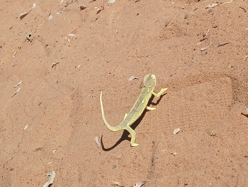
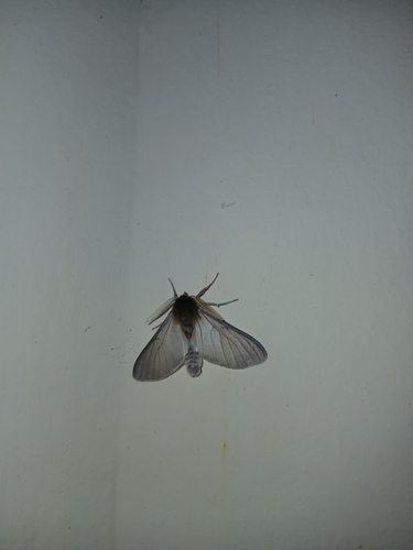
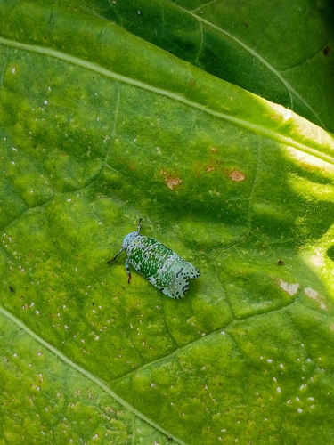
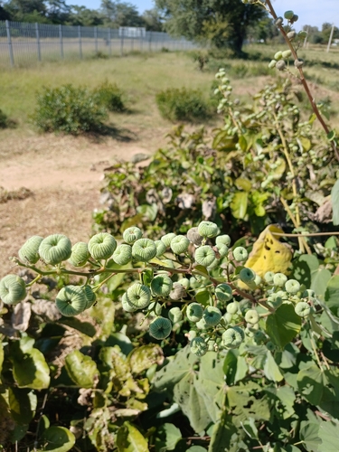
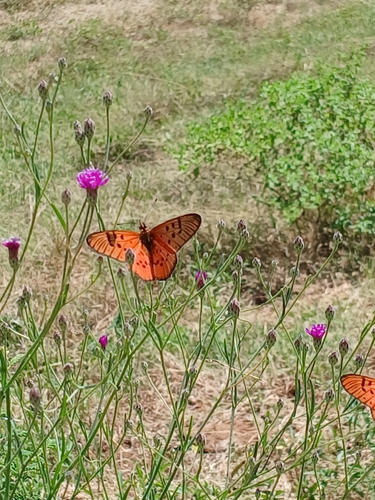
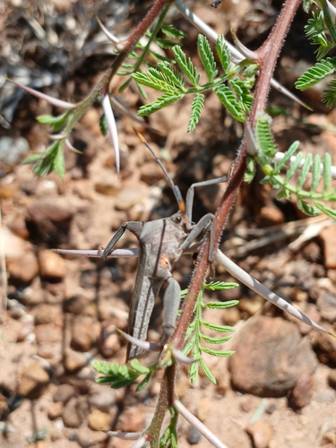
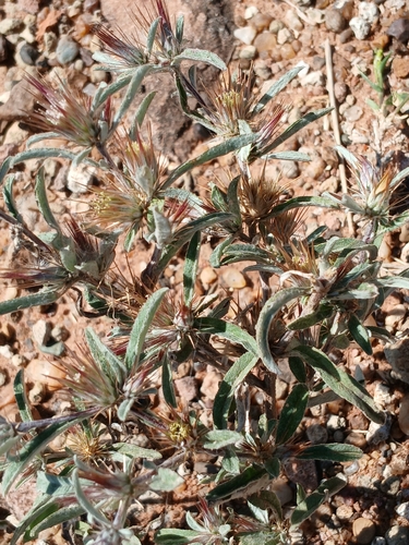
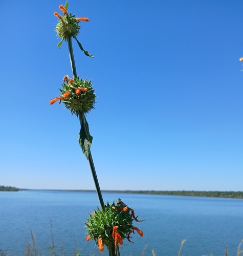
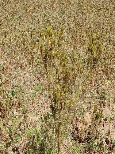
Research-grade observations from iNaturalist (within ~15 mi).
Events
Gallery
Sources
- • Wikipedia
- • Wikidata
- • Open-Meteo Air Quality (CAMS)
- • USGS Earthquake Catalog (global feed)
- • GBIF (Global Biodiversity Information Facility)
- • iNaturalist
- • Open-Meteo / sunrise-sunset.org
- • Wikipedia Pageviews API