Browse / Zimbabwe / Masvingo / Masvingo
Masvingo
Masvingocity

Masvingo
Total population
72,527
Founded
1890
Demographic figures from ZIMSTAT. Overview below cites Wikipedia and may reference a different year.
City facts
Sister cities
Facts from Wikidata (CC0).
Overview
Masvingo, formerly known as Fort Victoria, is a city in southeastern Zimbabwe and the capital of Masvingo Province. The city lies close to Great Zimbabwe, the national monument from which the country takes its name and close to Lake Mutirikwi, its recreational park, the Kyle dam and the Kyle National Reserve that is home to a range of animal species. It is mostly populated by the Karanga people who form the biggest branch of the various Shona tribes in Zimbabwe.
Read more on WikipediaHistory & geography
History
The city was known as Fort Victoria until 1982, when its name was briefly changed to Nyanda, after a mountain about 10 kilometres south of the town, on the Masvingo to Beitbridge Road. That led to protests, because "nyanda" means "one who has lice", and public sentiment was that Masvingo would be more reflective of the history of the city. Within a few months, the name was changed to Masvingo, which means "fort" in Shona, and the Great Zimbabwe, which is essentially a walled fort, is often referred to as "Masvingo eZimbabwe" or sometimes "Masvingo eVitori", a translation of the original name. Masvingo is the oldest colonial settlement in Zimbabwe which developed around an encampment established in 1890, when the British South Africa Company "Pioneer Column" of the first European colonists passed through on their way to what became Salisbury, now Harare. The Old Fort national monument is located in the center of town, and was erected in 1891 as one of a series of fortifications to guard the route from Salisbury to the south. The very first cricket match in Zimbabwe is said to have taken place close by, in 1890.
Geography
The landscape in southern Zimbabwe is relatively flat, interspersed with rounded granite mountains. Known as kopjes (Dutch: little heads), they are often quite smooth. Msasa trees dominate the savannah landscape, with the occasional baobab tree. The weather is hot and dry throughout the year, except during the summer when the rains come. There is a range of small hills to the south of the city centre. Mucheke and Shagashe rivers run close to the centre and both of them act as de facto boundaries of the central business district. Robert Mugabe way, one of the city's main streets, is lined with pine trees adjacent to some of the oldest buildings in Zimbabwe such as The victoria hotel and the building opposite to it that now houses The High Court of Zimbabwe. The tallest building is the 9-storey Zimre center located in the CBD. The Bell Tower is a historical building and formed part of the fort erected by the British South African Company in 1892 to protect settlers around Fort Victoria. The town lies near Lake Mutirikwi and is home to a nine-hole golf course and a freight railway line. It lies on the Mucheke River, with a civic centre at the town centre. Shagashe Game Park and an Italian memorial church built during World War II are nearby. Masvingo also has an airstrip. The national airline, Air Zimbabwe, has reintroduced a domestic flight connecting Masvingo to Harare in the north and Buffalo Range in the south starting on 5 December 2014. Masvingo is situated in a drought-prone area, with average rainfall of 600 mm/a. The raw water source for the city is Lake Mutirikwi. Apart from providing water for the city, Lake Mutirikwi supports water supply schemes for several riparian farmers and large sugar cane irrigation schemes in the Triangle, Zimbabwe and Hippo…
Excerpted from the corresponding Wikipedia article (CC BY-SA).
Geography
Coordinates & boundaries from the US Census TIGER/Line shapefiles.
Climate
Air quality
Walkability
Amenities nearby
Wildlife & biodiversity
Earthquake history
Photos
Sights & places nearby
Notable people from here
Nearby places in Masvingo
Geography & sun
Elevation, sunrise/sunset and daylight from Open-Meteo. Solar climatology from NASA POWER.
Nearby airports
Public attention
Pageview totals from the Wikimedia Pageviews API.
Books about Masvingo


Search results from Open Library.
Recent natural events nearby
Ground air-quality sensors
Recently spotted species
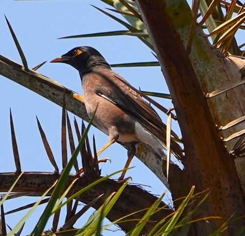
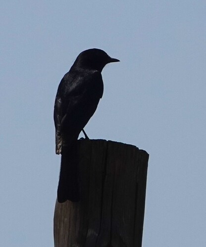
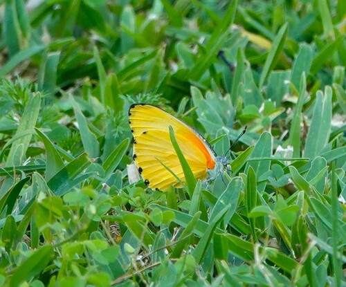
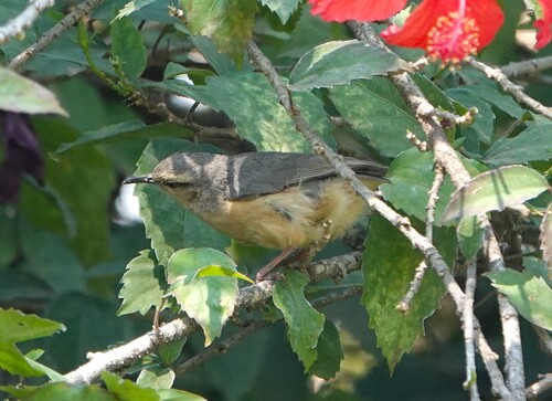
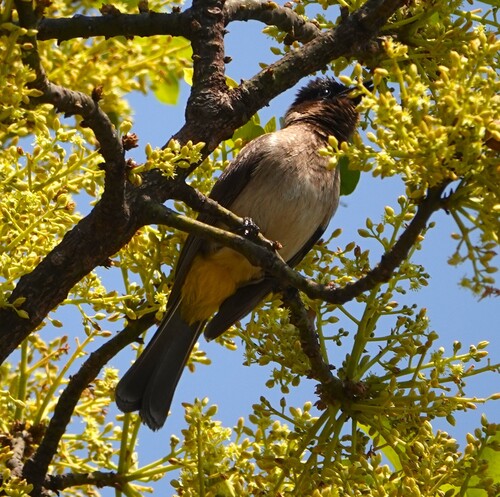
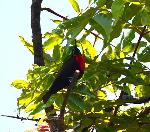
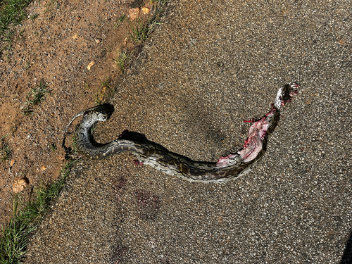
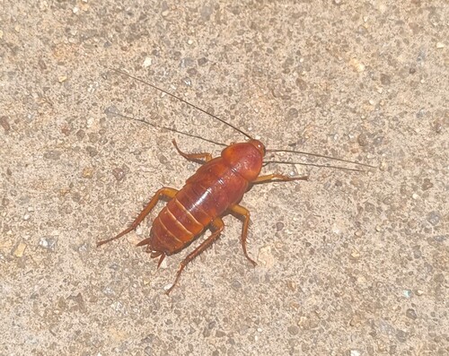
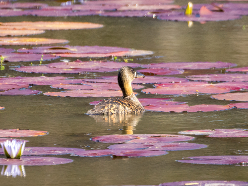
Research-grade observations from iNaturalist (within ~15 mi).
Events
Gallery
Sources
- • Wikipedia
- • Wikidata
- • iNaturalist
- • Open-Meteo / sunrise-sunset.org
- • Wikipedia Pageviews API
- • Open Library