Browse / Zimbabwe / Manicaland / Mhakwe
Mhakwe
Manicalandvillage
Air quality index
Demographic figures from ZIMSTAT. Overview below cites Wikipedia and may reference a different year.
City facts
Overview
As a village in Manicaland, Zimbabwe, Mhakwe occupies its own corner of the country. Its coordinates of -19.815°, 32.626° place it in the tropical zone of the southern hemisphere. Detailed population figures are not currently catalogued in the open data sources we track. Its latitude implies a climate characterised by warm temperatures throughout the year with pronounced wet and dry seasons. Solar-resource estimates put the area at about 2,114 kWh/m² of solar irradiance per year with sunshine for roughly 83% of daylight hours. Read on for charts and tables covering demographics, climate, hazards, schools, wildlife and other open-data indicators for Mhakwe.
Summary composed automatically from structured open data on this page. See our Terms for details.
History & geography
Geography
Coordinates & boundaries from the US Census TIGER/Line shapefiles.
Climate
Air quality
Current readings from Open-Meteo Air Quality API (Copernicus CAMS European reanalysis).
Walkability
Amenities nearby
Wildlife & biodiversity
Most-observed species
- Mexican sunflower, Mexican marigoldTithonia rotundifolia (Mill.) S.F.Blake · Magnoliopsida8
- Tree asterVernonanthura polyanthes (Spreng.) A.J.Vega & Dematt. · Magnoliopsida6
- candelabra-treeEuphorbia ingens E.Mey. ex Boiss. · Magnoliopsida4
- traveler's-joyClematis brachiata Thunb. · Magnoliopsida3
- Castor-oil-PlantRicinus communis L. · Magnoliopsida3
- Long-crested EagleLophaetus occipitalis (Daudin, 1800) · Aves2
- kaoPiliostigma thonningii (Schumach.) Milne-Redh. · Magnoliopsida2
- African PlumeBauhinia galpinii N.E.Br. · Magnoliopsida2
Citizen-science & research observations from the Global Biodiversity Information Facility (GBIF).
Earthquake history
Most recent
- M 4.3 — 2021-02-0135 km E of Chipinge, Zimbabwe
- M 4.2 — 2019-08-2851 km SSE of Chipinge, Zimbabwe
- M 5.6 — 2018-12-2253 km SSE of Chipinge, Zimbabwe
Events from the USGS Earthquake Catalog (global) (FDSN Event Web Service).
Photos
Sights & places nearby
Notable people from here
Nearby places in Manicaland
- Nyanyadzi13.5 mi away
- Chimbudzi58.7 mi away
- Bangure59.6 mi away
- Adi Q2460 mi away
- Embela2461.8 mi away
- Hinzi2467.8 mi away
- Caraíba do Norte5128.5 mi away
- Cameleira5128.6 mi away
- Lamoeiro5129.5 mi away
- Barão de Grajaú5130.5 mi away · pop. 18,984
- Povoado Trincheiras5151.5 mi away
- Povoado Lagoa do Bacuri5159.3 mi away
Geography & sun
Elevation, sunrise/sunset and daylight from Open-Meteo. Solar climatology from NASA POWER.
Nearby airports
Public attention
Books about this place
Recent natural events nearby
Ground air-quality sensors
Recently spotted species
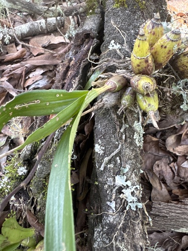
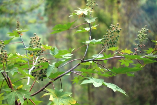
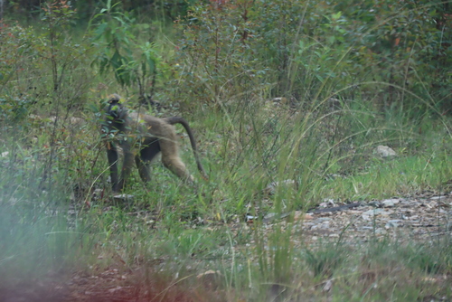
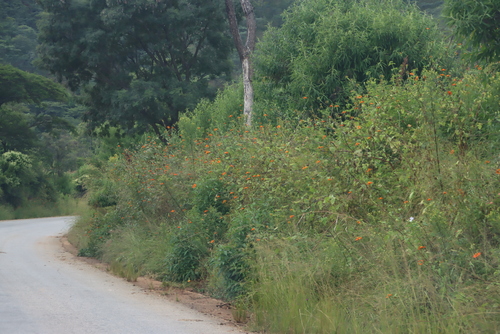
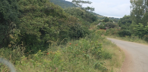
Research-grade observations from iNaturalist (within ~15 mi).
Events
Gallery
Sources
- • Wikidata
- • Open-Meteo Air Quality (CAMS)
- • USGS Earthquake Catalog (global feed)
- • GBIF (Global Biodiversity Information Facility)
- • iNaturalist
- • Open-Meteo / sunrise-sunset.org