Browse / Zimbabwe / Manicaland / Mutare
Mutare
Manicalandcity

Mutare
Total population
188,243
Founded
1897
Air quality index
Demographic figures from ZIMSTAT. Overview below cites Wikipedia and may reference a different year.
City facts
Sister cities
Facts from Wikidata (CC0).
Overview
Mutare, known as Umtali until 1982, is the capital and largest city in the province of Manicaland. It is the third-largest city in Zimbabwe. Having surpassed Gweru in the 2012 census, with an urban population of 224,802 and approximately 260,567 in the surrounding districts, Mutare adds to the wider metropolitan area a total population of over 500,000 people. Mutare is also the capital of Manicaland Province and the largest city in eastern Zimbabwe.
Read more on WikipediaHistory & geography
History
Although the city was founded in the late nineteenth century, the region has a long history of trading caravans passing through on the way to the Indian Ocean, from ports such as Sofala, to inland settlements, such as Great Zimbabwe. Zimbabwe is also renowned for its soapstone carvings and figurines which are evidence of these trade routes, dating as far back as the late African Iron Age () right up to the colonial period. A large hoard of soapstone carvings, jewellery, weapons, sherds and other objects were found in the vicinity of Mutare by the British archaeologist E M Andrews at the beginning of the twentieth century - they were later donated by the trustees of Cecil Rhodes to the British Museum in 1905. The soapstone figures, which are both anthropomorphic and zoomorphic, might have been part of a votive offering, as they were discovered near what appeared to be an altar. Mutare was founded in 1897 as a fort, about from the border with Mozambique, and is just from the Mozambican port of Beira, earning Mutare the title of "Zimbabwe's Gateway to the Sea". It is sometimes also called "Gateway to the Eastern Highlands". Many Zimbabwean locals refer to it as 'Kumakomoyo' (place of many mountains). There is a border railway station on the railway line from Bulawayo to Beira with a railways mechanical workshop. The area was the site of Chief Mutasa's kraal. In 1890 A. R. Coquhoun was given concessionary rights and Fort Umtali (the fort later became Mutare) was established between the Tsambe and Mutare Rivers. The word mutare originates from the word 'Utare' meaning iron (or possibly meaning gold). The name was probably given to the river as a result of gold being discovered in the Penhalonga valley through which the Mutare River runs. In 1891 the location was moved…
Geography
The town lies north of the Bvumba Mountains and south of the Imbeza Valley. Christmas Pass is a mountain pass that leads into the city from the west. The pass was so named by some of the colonial pioneers who camped at the foot of the pass on Christmas Day 1890. The pass features a winding, dual-carriageway road with scenic views of the surrounding Eastern Highlands. Mutare is home to several tourist attractions such as, the Mutare Museum, the Utopia House Museum dedicated to Kingsley Fairbridge, the National Gallery of Zimbabwe, Murahwa Hill, known for its rock paintings and Iron Age village, Cross Kopje with a memorial to Zimbabweans and Mozambicans killed in World War I and a nature reserve Cecil Kopje and Tigers Kloof. The Mutare Boys' High Chapel was constructed in honour of former Old boys who perished in World War II, situated on a hilly knoll at Mutare Boys High (then Umtali Boys High). Mutare is served by rail with daily passenger and freight links to Nyazura, Rusape and Harare. There are three small aerodromes; the smallest is at Mutare Provincial Hospital, a very small light aircraft strip for emergency evacuation (now defunct), a light plane aerodrome in Sakubva near Mutare Teachers College and the Grand Reef Airport just outside the city at Irene. There is a fourth airport, which was constructed in Chiadzwa to carry diamonds for processing in Harare. Despite its tropical location, the city has a humid subtropical climate, of the highland variety moderated by its altitude. Mutare experiences drizzle almost throughout the year. The average annual temperature is , surprisingly low for its moderate altitude (about the same as Harare which is 360 metres higher.) This is due to its sheltered position against the mountain ridge of Cecil Kop which encourages…
Excerpted from the corresponding Wikipedia article (CC BY-SA).
Geography
Coordinates & boundaries from the US Census TIGER/Line shapefiles.
Climate
Air quality
Current readings from Open-Meteo Air Quality API (Copernicus CAMS European reanalysis).
Walkability
Amenities nearby
Wildlife & biodiversity
Most-observed species
- Variable SunbirdCinnyris venustus (Shaw, 1799) · Aves517
- Common BulbulPycnonotus barbatus (Desfontaines, 1789) · Aves483
- Livingstone's TuracoTauraco livingstonii (G.R.Gray, 1864) · Aves459
- White-browed Robin-ChatCossypha heuglini Hartlaub, 1866 · Aves418
- Bar-throated ApalisApalis thoracica (Shaw, 1811) · Aves408
- Black-backed PuffbackDryoscopus cubla (Latham, 1802) · Aves394
- Miombo SunbirdCinnyris manoensis Reichenow, 1907 · Aves376
- Olive SunbirdCyanomitra olivacea (A.Smith, 1840) · Aves363
Citizen-science & research observations from the Global Biodiversity Information Facility (GBIF).
Earthquake history
Most recent
- M 4.5 — 2006-05-219 km S of Dorowa Mining Lease, Zimbabwe
Events from the USGS Earthquake Catalog (global) (FDSN Event Web Service).
Photos
Sights & places nearby
Notable people from here


People born within ~10 km, from Wikidata (CC0). Click any name for their Wikipedia article.
Nearby places in Manicaland
- Nyanyadzi57.3 mi away
- Chimbudzi65.7 mi away
- Bangure70.8 mi away
- Adi Q2402.4 mi away
- Embela2404.2 mi away
- Hinzi2410.2 mi away
- Caraíba do Norte5132.7 mi away
- Cameleira5133.1 mi away
- Lamoeiro5134.1 mi away
- Barão de Grajaú5135.1 mi away · pop. 18,984
- Povoado Trincheiras5152.4 mi away
- Povoado Lagoa do Bacuri5160.2 mi away
Geography & sun
Elevation, sunrise/sunset and daylight from Open-Meteo. Solar climatology from NASA POWER.
Nearby airports
Public attention
Pageview totals from the Wikimedia Pageviews API.
Books about Mutare
Search results from Open Library.
Recent natural events nearby
Ground air-quality sensors
Recently spotted species
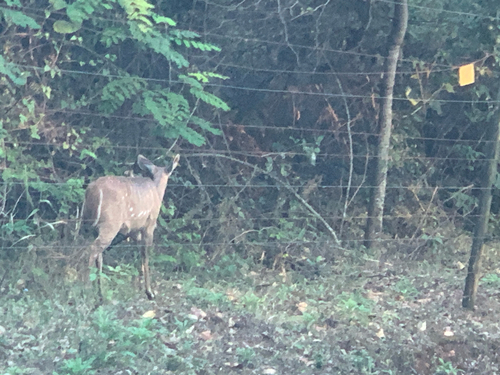
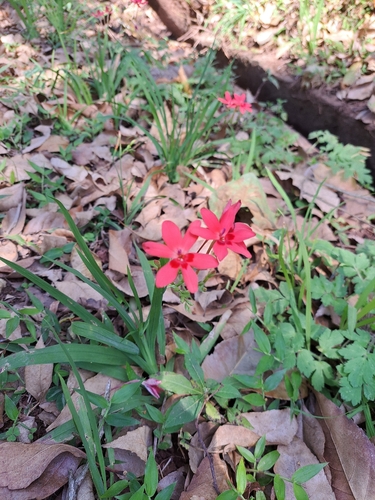
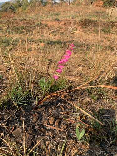
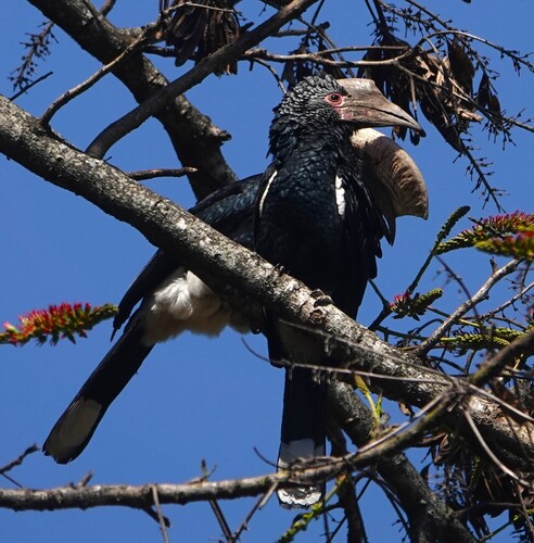
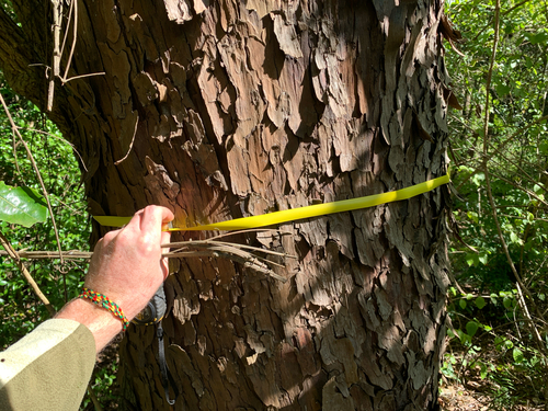
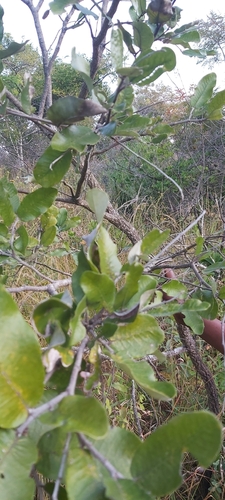
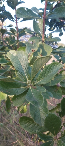
Research-grade observations from iNaturalist (within ~15 mi).
Events
Gallery
Sources
- • Wikipedia
- • Wikidata
- • Open-Meteo Air Quality (CAMS)
- • USGS Earthquake Catalog (global feed)
- • GBIF (Global Biodiversity Information Facility)
- • iNaturalist
- • Open-Elevation
- • Open-Meteo / sunrise-sunset.org
- • Wikipedia Pageviews API
- • Open Library