Browse / Zimbabwe / Mashonaland East / Ruwa
Ruwa
Mashonaland Easttown
Total population
22,038
Demographic figures from ZIMSTAT. Overview below cites Wikipedia and may reference a different year.
City facts
Facts from Wikidata (CC0).
Overview
Ruwa is a town in Mashonaland East Province, Zimbabwe, situated 23 km south-east of the capital Harare on the main Harare-Mutare highway and railway line. Ruwa falls within the Harare metropolitan Province and was officially established as a Growth Point in 1986 in terms of the Acts, Income Tax Chapter and Sales Tax Chapter. It was granted the Local board status through a warrant in 1990.
Read more on WikipediaHistory & geography
History
In the 1890s commercial farming began in the area and a small trading post Ruwa was established to serve as an administrative and trading centre for the mixed farming community. Its first local authority, the Bromley-Ruwa Rural Council (BRRC) was set up in 1950. After Zimbabwe's Independence, the Bromley-Ruwa Rural Council (BRRC) was renamed as the Goromonzi Rural District Council. In the decades following independence, Ruwa developed rapidly becoming a popular residential area with low, medium and high density spaces for people moving out of Harare. Officially, Ruwa was established as a growth point from 1986 to 1990 in terms of the Acts, Income Tax Chapter (23:06) and Sales Tax Chapter (23:08). In 1990, it was declared an urban area under the administration of the Ruwa Local Board (RLB) which was set up in September of the same year. It officially gained town status in 2008.
Excerpted from the corresponding Wikipedia article (CC BY-SA).
Geography
Coordinates & boundaries from the US Census TIGER/Line shapefiles.
Climate
Air quality
Walkability
Amenities nearby
Wildlife & biodiversity
Earthquake history
Photos
Sights & places nearby
Notable people from here
People born within ~10 km, from Wikidata (CC0). Click any name for their Wikipedia article.
Nearby places in Mashonaland East
Geography & sun
Elevation, sunrise/sunset and daylight from Open-Meteo. Solar climatology from NASA POWER.
Nearby airports
Public attention
Pageview totals from the Wikimedia Pageviews API.
Books about this place
Recent natural events nearby
Ground air-quality sensors
Recently spotted species
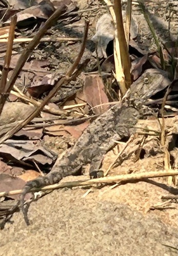
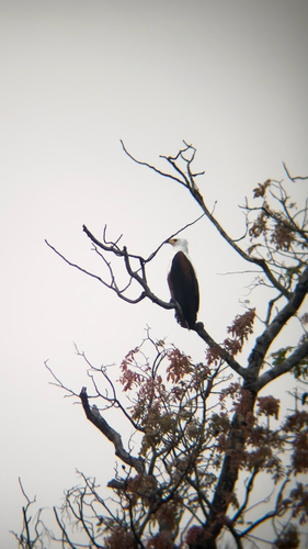
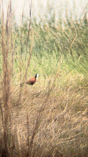
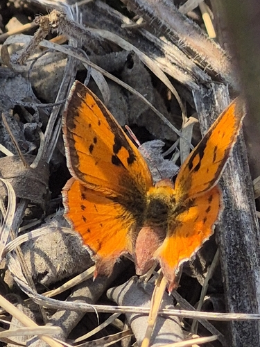
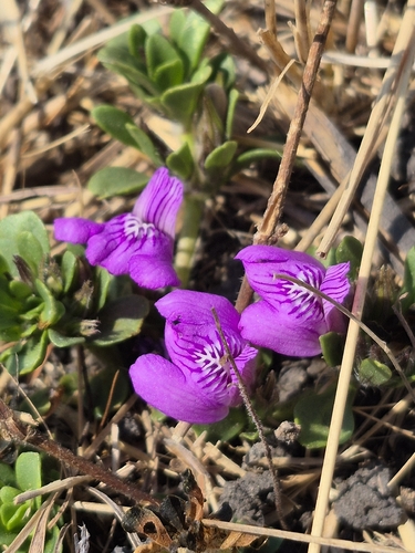
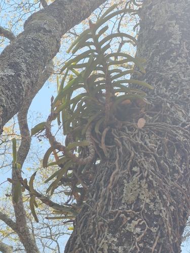
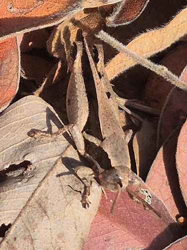
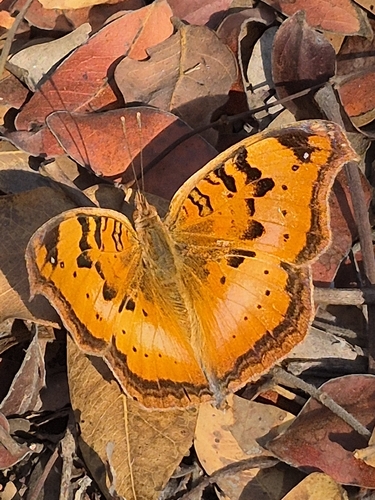
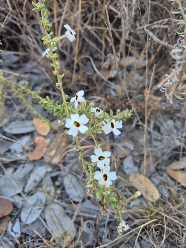
Research-grade observations from iNaturalist (within ~15 mi).
Events
Gallery
Sources
- • Wikipedia
- • Wikidata
- • iNaturalist
- • Open-Meteo / sunrise-sunset.org
- • Wikipedia Pageviews API