Browse / Zimbabwe / Midlands / Zvishavane
Zvishavane
Midlandstown

Zvishavane
Total population
35,229
Air quality index
Demographic figures from ZIMSTAT. Overview below cites Wikipedia and may reference a different year.
City facts
Facts from Wikidata (CC0).
Overview
Zvishavane, formerly known as Shabani, is a mining town in Midlands Province, Zimbabwe. Surrounded by low hills, it lies 97 kilometres (60 mi) west of Masvingo, on the main Bulawayo-Masvingo road. Other roads lead from Zvishavane to Gweru, 121 kilometres (75 mi) north, and Mberengwa, 27 kilometres (17 mi) south-west. It is also on direct rail links to Gweru and Beit Bridge which then link up with Harare and Bulawayo in Zimbabwe and to Maputo in Mozambique, and Pretoria in South Africa. It has a private airport serving the city.
Read more on WikipediaHistory & geography
History
The town developed as a residential centre for Shabani Mine, which started operations in 1916 to supply asbestos during the First World War. Growth was slow due to poor communications until the railway reached the town in 1928. Although the asbestos mine is the biggest producer of the mineral in Zvishavane, platinum, gold, beryl, chromite, iron ore at Buchwa and huge deposits of diamond at Murowa are also mined in the area. The surrounding area is dominated by cattle ranching, while peasant agriculture is practiced in the nearby communal lands of Mberengwa and Buchwa. The administration of Zvishavane has developed over the years to keep pace with its growth. A Village Management Board was set up in 1921 and replaced with a Town Management Board in 1930. It was granted municipal status in 1968.
Excerpted from the corresponding Wikipedia article (CC BY-SA).
Geography
Coordinates & boundaries from the US Census TIGER/Line shapefiles.
Climate
Air quality
Current readings from Open-Meteo Air Quality API (Copernicus CAMS European reanalysis).
Walkability
Amenities nearby
Wildlife & biodiversity
Most-observed species
- Pied CrowCorvus albus Statius Muller, 1776 · Aves2
- White HelmetshrikePrionops plumatus (Shaw, 1809) · Aves2
- Cape StarlingLamprotornis nitens (Linnaeus, 1766) · Aves2
- White-crowned ShrikeEurocephalus anguitimens A.Smith, 1836 · Aves2
- Red-billed QueleaQuelea quelea (Linnaeus, 1758) · Aves2
- Lady's SlipperPigea serrata (Engl.) P.I.Forst. · Magnoliopsida1
- African Fish-EagleHaliaeetus vocifer (Daudin, 1800) · Aves1
- Black-breasted Snake-EagleCircaetus pectoralis A.Smith, 1829 · Aves1
Citizen-science & research observations from the Global Biodiversity Information Facility (GBIF).
Earthquake history
Events from the USGS Earthquake Catalog (global) (FDSN Event Web Service).
Photos
Sights & places nearby
Notable people from here

People born within ~10 km, from Wikidata (CC0). Click any name for their Wikipedia article.
Nearby places in Midlands
Geography & sun
Elevation, sunrise/sunset and daylight from Open-Meteo. Solar climatology from NASA POWER.
Nearby airports
Public attention
Pageview totals from the Wikimedia Pageviews API.
Books about this place
Recent natural events nearby
Ground air-quality sensors
Recently spotted species
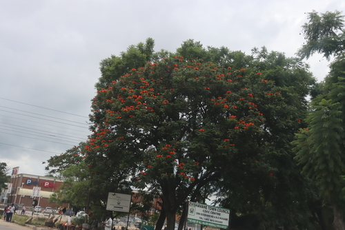
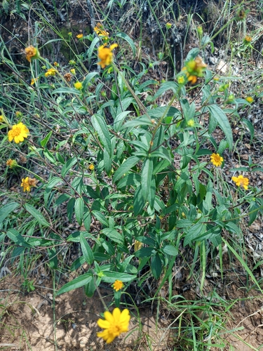
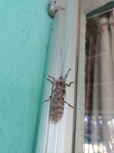
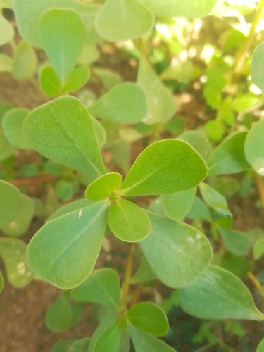
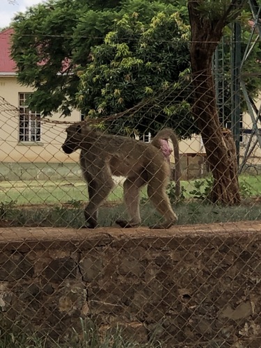
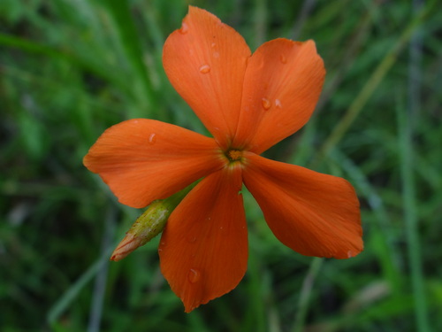
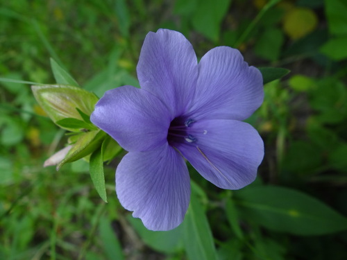
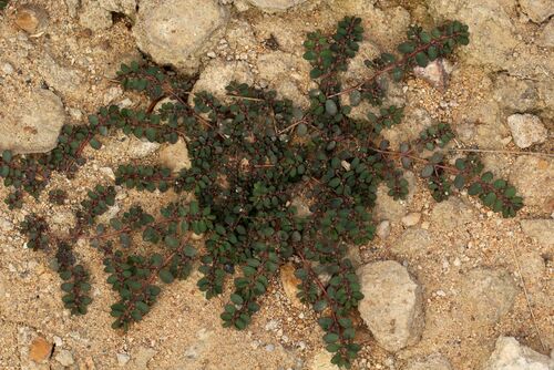
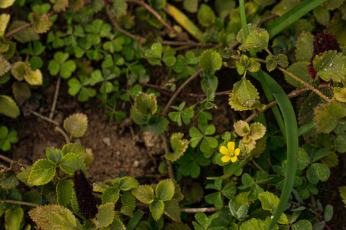
Research-grade observations from iNaturalist (within ~15 mi).
Events
Gallery
Sources
- • Wikipedia
- • Wikidata
- • Open-Meteo Air Quality (CAMS)
- • USGS Earthquake Catalog (global feed)
- • GBIF (Global Biodiversity Information Facility)
- • iNaturalist
- • Open-Meteo / sunrise-sunset.org
- • Wikipedia Pageviews API