Browse / United States / Alaska / Anaktuvuk Pass
Anaktuvuk Pass
Alaskacity

Anaktuvuk Pass
Total population
329
Median home value
$145,000
Bachelor's+
Median income
$95,500
Founded
1949
Demographic figures from US Census Bureau · ACS 5-year estimates. Overview below cites Wikipedia and may reference a different year.
City facts
Facts from Wikidata (CC0).
Overview
Anaktuvuk Pass is a city in North Slope Borough, Alaska, United States. It is located in the middle of Gates of the Arctic National Park and Preserve. The population was 425 at the 2020 census, up from 324 as of the 2010 census.
Read more on WikipediaHistory & geography
History
Anaktuvuk Pass was named after the Anaktuvuk River, and lies at the crossing of two mountain valleys. Anaktuvuk is the English way of spelling "anaqtuġvik", place of caribou droppings in Inupiaq, the language of the Inupiat. Archaeological evidence from the Tuktu-Naiyuk site, located just north of the settlement, indicates human activity dating from 8,000 to 3,000 years before present. Artifacts such as microblades and other Arctic Small Tools from the Paleo-Eskimo Northern Archaic period suggest that the site was used for processing animals. A nomadic group of Inupiat called Nunamiut, meaning 'people of the land', lived inland in northern Alaska, hunting caribou instead of the marine mammals and fish hunted by the rest of the Inupiat, who live on the coast. The Nunamiut traded with the coastal people for other items they needed. A decline in caribou populations around 1900 and in the 1920s caused many Nunamiut to move to the coast. In 1938, several Nunamiut families moved back to the Brooks Range, around Tulugak and the Killik River. Following a deadly influenza outbreak, in the summer of 1949 a group of families in the Killik River area moved 100 miles to Tulugak Lake, 15 miles north of where the village lies today. Departing from Sulupaat, near the mouth of April Creek on the Killik River, the group included the families of Maptigaq Morry, Inualuuraq (Chris) Hugo, and Homer Mekiana. They traveled on foot with dogs fitted with pack saddles made of caribou, using salvaged military rations when available. This became known by local oral historians as the "Long Walk". After spending the summer around Tulugak Lake, many of the families moved to the present site at the headwaters of the John River, where the village of Anaktuvuk Pass took shape. This journey marks the…
Geography
Anaktuvuk Pass is in northern central Brooks Range on the divide between the Anaktuvuk River and the John River, at an elevation of . It is south of Napaktualuit Mountain. Anaktuvuk Pass is the last remaining settlement of the Nunamiut (People of the Land) Iñupiat Inuit in Alaska. The community lies at approximately . It is in Section 18, Township 15 South, Range 2 East, Umiat Meridian, within the Utqiaġvik Recording District. According to the United States Census Bureau, the city has an area of , of which is land and (1.63%) is water. Anaktuvuk Pass has a typical subarctic climate (Köppen climate classification: Dfc) bordering on a tundra climate (Köppen climate classification: ET), with the average temperature in January while the warmest month, July, averages . Temperatures have ranged from . Anaktuvuk Pass receives about of rain yearly, with snowfall averaging about . The area is known for its intense winds and 50-below winters and the generic, framed houses built there in the 1970s. The houses are inefficient for such a climate, according to a Fairbanks Daily News Miner story. On June 28, 1971, the temperature fell to a record summer low of , though the data for that year is extremely sparse. The climate record as a whole is irregular, with data compiled only between 1953 and 1973, with most observations in the 1950s.
Excerpted from the corresponding Wikipedia article (CC BY-SA).
Demographics & economy
Race & ethnicity
Source: US Census Bureau — American Community Survey, 5-year estimates.
Geography
Coordinates & boundaries from the US Census TIGER/Line shapefiles.
Climate
Current forecast
Forecast for Anaktuvuk Pass, AK from NOAA NWS API.
Air quality
Industrial & pollution facilities
Natural hazard risk
Health (adults)
Age-adjusted prevalence estimates from CDC PLACES (latest release).
Walkability
Amenities nearby
Wildlife & biodiversity
Most-observed species
- Common RavenCorvus corax Linnaeus, 1758 · Aves7
- Lapland LongspurCalcarius lapponicus (Linnaeus, 1758) · Aves6
- White-crowned SparrowZonotrichia leucophrys (J.R.Forster, 1772) · Aves5
- Long-tailed JaegerStercorarius longicaudus Vieillot, 1819 · Aves4
- Smith's LongspurCalcarius pictus (Swainson, 1832) · Aves4
- American RobinTurdus migratorius Linnaeus, 1766 · Aves4
- Willow PtarmiganLagopus lagopus (Linnaeus, 1758) · Aves3
- Species 2480295Species 24802953
Citizen-science & research observations from the Global Biodiversity Information Facility (GBIF).
Schools
Largest nearby schools
- Nunamiut SchoolOther · Anaktuvuk Pass · 96 students · 24:1 ratio
Public K–12 schools within ~10 mi from Urban Institute Education Data Portal (NCES Common Core of Data, 2022).
Earthquake history
Most recent
- M 2.7 — 2024-09-1422 km SE of Anaktuvuk Pass, Alaska
- M 2.5 — 2022-08-1885 km WSW of Anaktuvuk Pass, Alaska
- M 2.7 — 2021-12-1854 km N of Wiseman, Alaska
- M 2.8 — 2020-05-2543 km NNW of Wiseman, Alaska
- M 2.7 — 2020-03-1540 km N of Wiseman, Alaska
- M 2.6 — 2019-03-0816 km SSE of Anaktuvuk Pass, Alaska
Events from the USGS Earthquake Catalog (global) (FDSN Event Web Service).
Photos
Sights & places nearby
Notable people from here
Nearby places in Alaska
- Coldfoot75 mi away · pop. 211
- Bettles86 mi away · pop. 16
- Allakaket113.6 mi away · pop. 167
- Alatna113.7 mi away · pop. 11
- Nuiqsut143.6 mi away · pop. 616
- Venetie160.4 mi away · pop. 76
- Kobuk161.4 mi away · pop. 101
- Arctic Village161.8 mi away · pop. 164
- Shungnak168.6 mi away · pop. 147
- Beaver169.4 mi away · pop. 17
- Birch Creek202.8 mi away
- Fort Yukon202.9 mi away · pop. 656
Geography & sun
Elevation, sunrise/sunset and daylight from Open-Meteo. Solar climatology from NASA POWER.
Nearby airports
Public attention
Pageview totals from the Wikimedia Pageviews API.
Books about Anaktuvuk Pass

Search results from Open Library.
Recent natural events nearby
Ground air-quality sensors
Recently spotted species
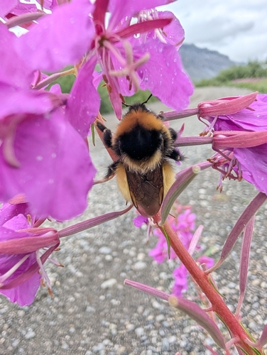
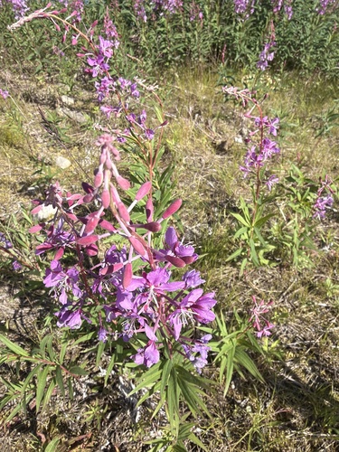
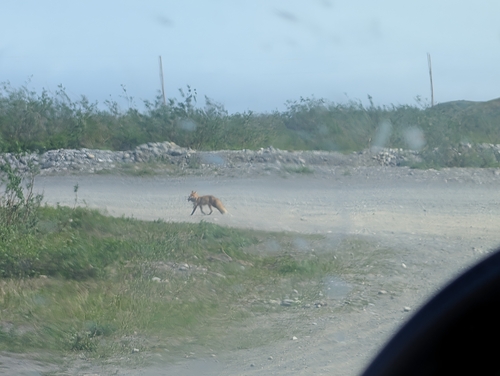
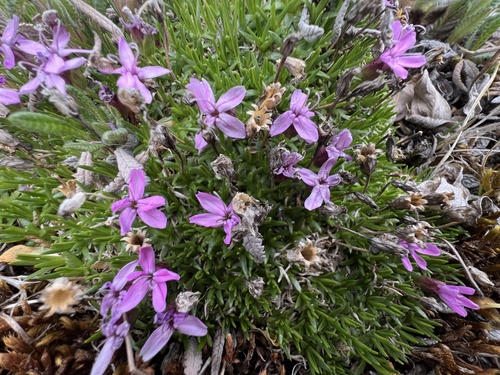
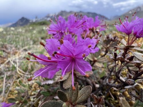
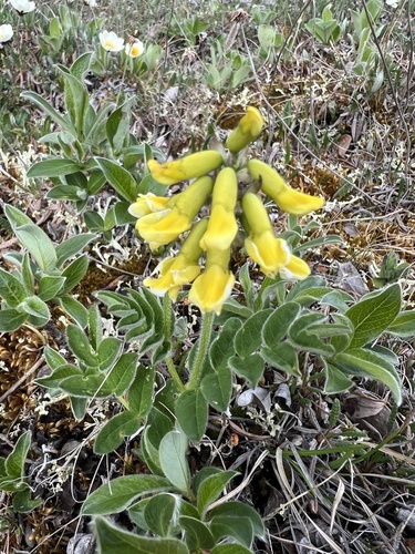
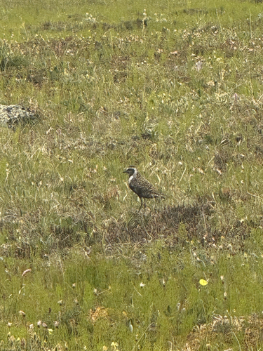
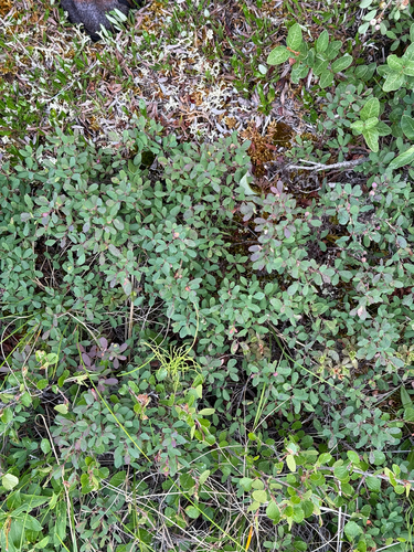
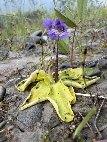
Research-grade observations from iNaturalist (within ~15 mi).
Nearest stream gauge
Events
Gallery
Sources
- • Wikipedia
- • US Census Bureau (ACS 5-year estimates)
- • NOAA National Weather Service
- • Wikidata
- • USGS Earthquake Catalog (global feed)
- • NCES via Urban Institute Education Data Portal
- • GBIF (Global Biodiversity Information Facility)
- • iNaturalist
- • CDC PLACES
- • Open-Meteo / sunrise-sunset.org
- • Wikipedia Pageviews API
- • Open Library