Browse / United States / Alaska / Anderson
Anderson
Alaskacity

Anderson
Total population
140
Median home value
$192,000
Bachelor's+
Median income
$101,875
Founded
1962
Demographic figures from US Census Bureau · ACS 5-year estimates. Overview below cites Wikipedia and may reference a different year.
City facts
Facts from Wikidata (CC0).
Overview
Anderson is a city in the Denali Borough, Alaska, United States, and the borough's only incorporated community. At the 2010 census the population was 246, down from 367 at the 2000 census. At the 2020 census, the population dropped to 177 residents. The city is named after one of the original homesteaders.
Read more on WikipediaHistory & geography
History
Anderson is named after Arthur Anderson, one of several homesteaders who settled in the area in the late 1950s. In 1959, Anderson subdivided his homestead into house lots and sold most of the lots to civilian workers from Clear Air Force Station, a Ballistic Missile Early Warning System station completed in 1961. An elementary school was built in the community in 1961, and Anderson incorporated as a city on June 2, 1962. In the 1960s, a road was completed between Anderson and Nenana. A ferry across the Tanana River at Nenana provided access to the Fairbanks–Nenana Highway, and hence to Fairbanks and the contiguous North American highway system via the Richardson and Alaska Highways. The ferry was replaced with a bridge in 1968. In 1972, the George Parks Highway was completed, which provided direct road access to points south, including Anchorage. This concept has been compared to that of the Homestead Act. The Anderson/Clear Lions Club, in conjunction with commercial sponsors and Two Rivers-based concert promoters Acoustic Adventures, hosted the annual Anderson Bluegrass Festival. Held on the last weekend of every July from Friday through Sunday at Riverside Park, the festival was the city's significant visitor attraction. The festival was discontinued in 2012. It was replaced with a similar, privately run family music festival held in the same location starting in 2015.
Geography
Anderson is located at (64.345372, -149.195352), abutting the northern border of the Denali Borough. Anderson is north of Healy, south of Nenana and southwest of Fairbanks. The Anderson townsite lies in between the Alaska Railroad mainline and the Nenana River, along the northern edge of city limits. The George Parks Highway ( east of the townsite) and Clear Air Force Station ( south of the townsite) are also within city limits. Clear Space Force Station is home to the 13th Space Warning Squadron, 213th Space Warning Squadron, and 268th Security Forces Squadron. Anderson lies north of Anchorage, the most populous city of Alaska, and southwest of Fairbanks. According to the United States Census Bureau, the city has a total area of , of which is land and , or 7.49%, is water. Anderson attracts mostly curious visitors, owing to its "out of the way" location at the end of a side road, plus those stopping to camp or access the Nenana River at Riverside Park.
Excerpted from the corresponding Wikipedia article (CC BY-SA).
Demographics & economy
Race & ethnicity
Source: US Census Bureau — American Community Survey, 5-year estimates.
Geography
Coordinates & boundaries from the US Census TIGER/Line shapefiles.
Climate
Current forecast
Forecast for Anderson, AK from NOAA NWS API.
Air quality
Industrial & pollution facilities
Natural hazard risk
Health (adults)
Age-adjusted prevalence estimates from CDC PLACES (latest release).
Walkability
Amenities nearby
Wildlife & biodiversity
Most-observed species
- Common RavenCorvus corax Linnaeus, 1758 · Aves69
- BuffleheadBucephala albeola (Linnaeus, 1758) · Aves41
- Alder FlycatcherEmpidonax alnorum Brewster, 1895 · Aves39
- White-crowned SparrowZonotrichia leucophrys (J.R.Forster, 1772) · Aves35
- Red-tailed HawkButeo jamaicensis (Gmelin, 1788) · Aves28
- American WigeonMareca americana (J.F.Gmelin, 1789) · Aves26
- Yellow-rumped WarblerSetophaga coronata (Linnaeus, 1766) · Aves25
- American RobinTurdus migratorius Linnaeus, 1766 · Aves25
Citizen-science & research observations from the Global Biodiversity Information Facility (GBIF).
Schools
Largest nearby schools
- Anderson SchoolOther · Anderson · 18 students · 6:1 ratio
Public K–12 schools within ~10 mi from Urban Institute Education Data Portal (NCES Common Core of Data, 2022).
Earthquake history
Most recent
- M 3 — 2026-09-287 km ENE of Denali Park, Alaska
- M 3.1 — 2026-09-0827 km E of Nenana, Alaska
- M 2.7 — 2026-09-0420 km S of South Van Horn, Alaska
- M 3 — 2026-09-0416 km NNE of Cantwell, Alaska
- M 2.6 — 2026-08-1017 km ENE of Healy, Alaska
- M 2.7 — 2026-07-2725 km N of Four Mile Road, Alaska
Events from the USGS Earthquake Catalog (global) (FDSN Event Web Service).
Photos
Sights & places nearby
Notable people from here
Nearby places in Alaska
- Nenana15.9 mi away · pop. 479
- Ferry19.3 mi away · pop. 22
- Four Mile Road20.5 mi away
- Chena Ridge47.5 mi away · pop. 5,881
- Ester51.6 mi away · pop. 2,752
- Denali Park52.9 mi away · pop. 819
- South Van Horn53.5 mi away · pop. 572
- College55.5 mi away · pop. 11,924
- Fairbanks57.8 mi away · pop. 32,083
- Farmers Loop60 mi away · pop. 4,954
- North Pole61.7 mi away · pop. 2,370
- Badger62.8 mi away · pop. 18,677
Geography & sun
Elevation, sunrise/sunset and daylight from Open-Meteo. Solar climatology from NASA POWER.
Nearby airports
Public attention
Pageview totals from the Wikimedia Pageviews API.
Books about Anderson

Search results from Open Library.
Recent natural events nearby
- Wildfire Mukluk, Southeast Fairbanks, AlaskaWildfires · 2026-08-17 · 197 mi
Wildfires, storms and other events from NASA EONET (last 12 months, within 250 mi).
Ground air-quality sensors
Recently spotted species
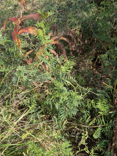
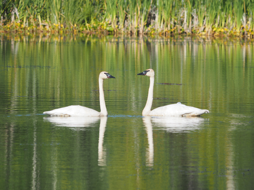
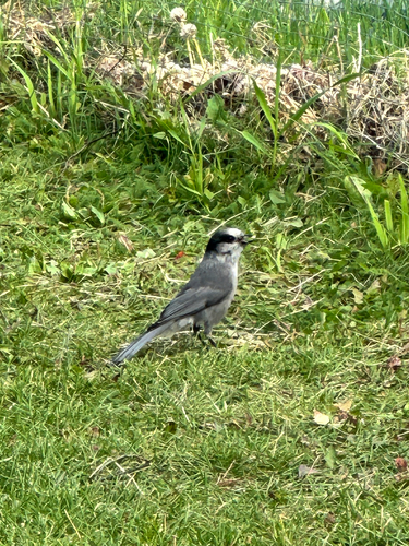
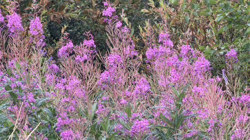
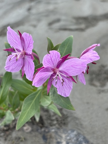
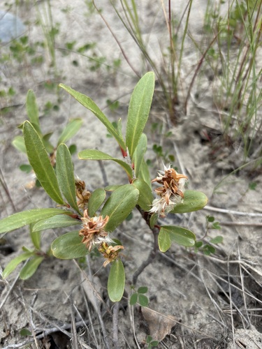
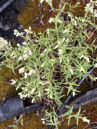
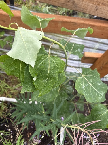
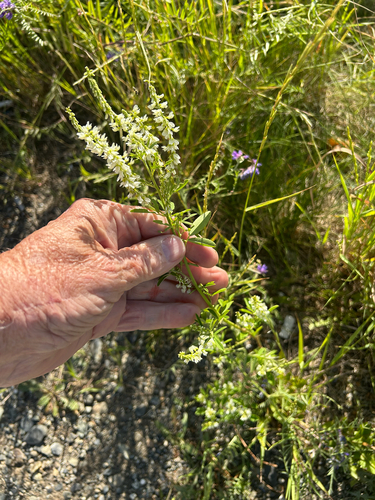
Research-grade observations from iNaturalist (within ~15 mi).
Nearest stream gauge
Live readings from USGS NWIS · measured 2026-10-05 16:15 UTC.
Events
Gallery
Sources
- • Wikipedia
- • US Census Bureau (ACS 5-year estimates)
- • NOAA National Weather Service
- • Wikidata
- • USGS Earthquake Catalog (global feed)
- • USGS NWIS (water data)
- • NCES via Urban Institute Education Data Portal
- • GBIF (Global Biodiversity Information Facility)
- • iNaturalist
- • CDC PLACES
- • Open-Meteo / sunrise-sunset.org
- • Wikipedia Pageviews API
- • Open Library
- • NASA EONET