Browse / United States / Alaska / False Pass
False Pass
Alaskacity

False Pass
Total population
151
Median home value
$0
Bachelor's+
Median income
$0
Founded
1990
Demographic figures from US Census Bureau · ACS 5-year estimates. Overview below cites Wikipedia and may reference a different year.
City facts
Facts from Wikidata (CC0).
Overview
False Pass is a city on Unimak Island, in the Aleutians East Borough of southwestern Alaska, United States. The population was 397 in the 2020 census, but only 35 are resident year-round; many fish processing plant workers are seasonal.
Read more on WikipediaHistory & geography
History
False Pass is an early English name for Isanotski Strait on which the city of False Pass is located. The strait was called "False Pass" because it was thought to be impassable for deep draft vessels at the northern end. A salmon cannery was built on the Unimak Island side of the strait in 1919 which provided the nucleus for the modern settlement. A U.S. post office with the name of False Pass was established in 1921 which gave official status to the community. Commercial fishing for salmon, cod, halibut and crab continues to be the core of the community's lifestyle and economy.
Geography
False Pass is at (54.827886, -163.399090). It is near the eastern end of Unimak Island, in the Aleutian Islands chain. Part of the city (26.093 km2, or 10.075 sq mi) is on the mainland's westernmost tip Alaska Peninsula, across the Isanotski Strait (about 600 meters at the closest point), although that section is nearly unpopulated. The city boundaries include the abandoned villages of Morzhovoi and Ikatan. According to the U.S. Census Bureau, the city has a total area of , of which is land and (60.63%) is water.
Excerpted from the corresponding Wikipedia article (CC BY-SA).
Demographics & economy
Race & ethnicity
Source: US Census Bureau — American Community Survey, 5-year estimates.
Geography
Coordinates & boundaries from the US Census TIGER/Line shapefiles.
Climate
Current forecast
Forecast for False Pass, AK from NOAA NWS API.
Air quality
Industrial & pollution facilities
Natural hazard risk
Health (adults)
Age-adjusted prevalence estimates from CDC PLACES (latest release).
Walkability
Amenities nearby
Wildlife & biodiversity
Schools
Largest nearby schools
- False Pass SchoolOther · False Pass · 9 students · 9:1 ratio
Public K–12 schools within ~10 mi from Urban Institute Education Data Portal (NCES Common Core of Data, 2022).
Earthquake history
Most recent
- M 3 — 2026-09-2860 km SE of False Pass, Alaska
- M 2.7 — 2026-09-2181 km SSW of False Pass, Alaska
- M 2.6 — 2026-09-1846 km S of False Pass, Alaska
- M 2.5 — 2026-09-1822 km WNW of False Pass, Alaska
- M 2.5 — 2026-09-1896 km SSW of False Pass, Alaska
- M 2.9 — 2026-09-1651 km SSW of King Cove, Alaska
Events from the USGS Earthquake Catalog (global) (FDSN Event Web Service).
Photos
Sights & places nearby
Notable people from here
Nearby places in Alaska
Geography & sun
Elevation, sunrise/sunset and daylight from Open-Meteo. Solar climatology from NASA POWER.
Nearby airports
Public attention
Pageview totals from the Wikimedia Pageviews API.
Books about False Pass
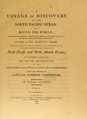


Search results from Open Library.
Recent natural events nearby
Ground air-quality sensors
Recently spotted species
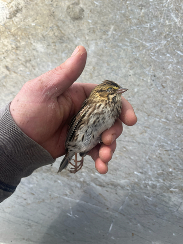
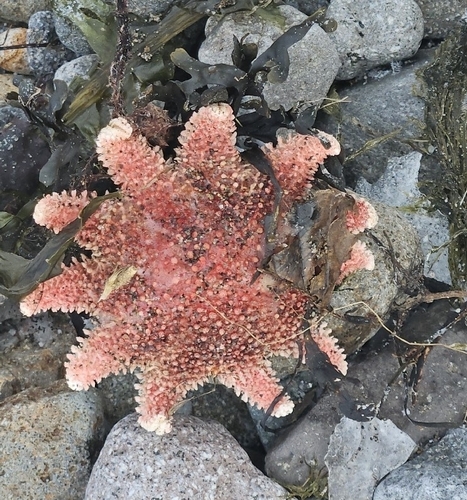
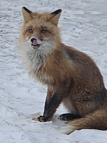
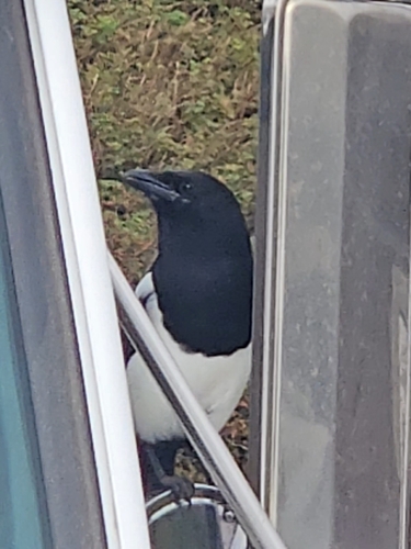
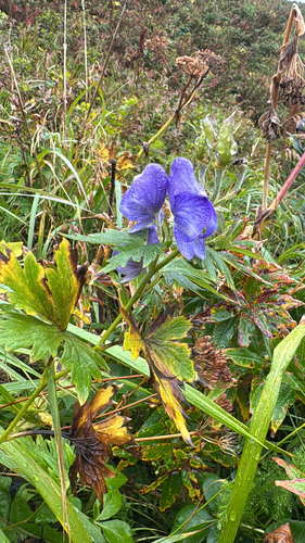
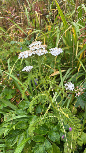
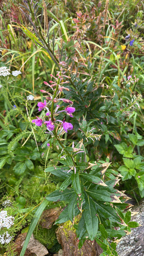
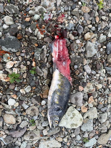
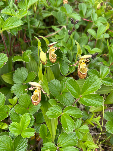
Research-grade observations from iNaturalist (within ~15 mi).
Nearest stream gauge
Live readings from USGS NWIS · measured 2026-09-28 07:15 UTC.
Events
Gallery
Sources
- • Wikipedia
- • US Census Bureau (ACS 5-year estimates)
- • NOAA National Weather Service
- • Wikidata
- • USGS Earthquake Catalog (global feed)
- • USGS NWIS (water data)
- • NCES via Urban Institute Education Data Portal
- • iNaturalist
- • CDC PLACES
- • Open-Elevation
- • Open-Meteo / sunrise-sunset.org
- • Wikipedia Pageviews API
- • Open Library