Browse / United States / Alaska / Unalaska
Unalaska
Alaskacity

Unalaska
Total population
4,556
Median home value
$462,400
Bachelor's+
Median income
$131,964
Founded
1774
Demographic figures from US Census Bureau · ACS 5-year estimates. Overview below cites Wikipedia and may reference a different year.
City facts
Sister cities
Facts from Wikidata (CC0).
Overview
The City of Unalaska is the main population center in the Aleutian Islands. The city is in the Aleutians West Census Area, a regional component of the Unorganized Borough in the U.S. state of Alaska. Unalaska is located on Unalaska Island and neighboring Amaknak Island in the Aleutian Islands off mainland Alaska. The population was 4,254 at the 2020 census, which is 81% of the entire Aleutians West Census Area. Unalaska is the second-largest city in the Unorganized Borough, behind Bethel.
Read more on WikipediaHistory & geography
History
The island of Unalaska was first inhabited by the Aleut people. Unalaska and Amaknak islands contained 24 settlements with more than 1,000 Aleut inhabitants in 1759, when the first Russian group under Stepan Glotov came and started trading for three years on Umnak and Unalaska. Between 1763 and 1766, a conflict between the Russian fur traders and the Unalaska Natives occurred; the Aleuts destroyed four Russian ships and killed 175 hunters/traders. In the 1760s, Unalaska was temporarily used as a Russian fur trading post. Alexander Andreyevich Baranov was shipwrecked here in 1790. In 1825, the Russian Orthodox Church of the Holy Ascension was built in Unalaska. The founding priest, Ivan Veniaminov, later canonized as Saint Innocent of Alaska, composed the first Aleut writing system with local assistance, and translated scripture into Aleut. Between 1836 and 1840, measles, chicken-pox and whooping-cough epidemics drastically reduced the population; thus, at the end of the decade, only 200 to 400 Aleuts lived in Unalaska. On October 18, 1867, the United States purchased Alaska, which made Unalaska part of the U.S. territory. In 1880, the Methodist Church opened a school and a clinic for orphans in Unalaska. Between 1899 and 1905, the Gold Rush brought many ships through Dutch Harbor, where the North American Commercial Company had a coaling station. During the first half of the century, the island was touched by numerous epidemics. The first epidemic occurred in 1900; in 1919, the Spanish flu touched the island. These epidemics contributed to a dramatic decrease of the population in Unalaska. Fearing the threat from Imperial Japan during World War II, the neutral United States began fortifying Dutch Harbor in 1940, resulting in the construction of the Dutch Harbor…
Geography
According to the U.S. Census Bureau, the city has a total area of , of which is land and (47.71%) is water. Makushin Volcano () is located on the island; it is not quite visible from within the town of Unalaska, though the steam rising from its cone is visible on the rare clear day. By climbing one of the smaller hills in the area, such as Pyramid Peak or Mount Newhall, it is possible to get a good look at the snow-covered cone. A major find was announced in 2015 after scientists examined a group of giant tusked quadruped marine mammal fossils. The species had been unearthed during excavation for the construction of a school. They are unique shore dwellers belonging to the extinct order Desmostylia, and possibly related to Proboscidea or Sirenia. A rendition of a group was drawn by Alaskan artist Ray Troll. As in all of the Aleutian islands in the south of Akutan Island (32 °F or 0 °C isotherm) the climate of Unalaska is subpolar oceanic (Cfc), with moderate and fairly uniform temperatures and heavy precipitation. Winters are consistently cold, but relatively mild in comparison to other parts of the state. Summers are cool, with most afternoons only reaching highs of to . Fog is often present even when it is not raining. Summer weather is around cooler than Southeast Alaska (Sitka), but the winter temperatures are nearly the same, although despite the higher latitudes of cities such as Sitka and Ketchikan, both of the two cities have warmer winters than Unalaska. The mean annual temperature for Unalaska is , being about in January and in August. The coldest recorded month was February 1984, with a mean temperature of , while the warmest month was August 2019 at ; the annual mean temperature has ranged from in 1916 to in 2016. The coldest daytime…
Excerpted from the corresponding Wikipedia article (CC BY-SA).
Demographics & economy
Race & ethnicity
Source: US Census Bureau — American Community Survey, 5-year estimates.
Geography
Coordinates & boundaries from the US Census TIGER/Line shapefiles.
Climate
Air quality
Industrial & pollution facilities
Natural hazard risk
Health (adults)
Age-adjusted prevalence estimates from CDC PLACES (latest release).
Walkability
Amenities nearby
Wildlife & biodiversity
Schools
Earthquake history
Most recent
- M 3.3 — 2026-09-2165 km SE of Akutan, Alaska
- M 2.5 — 2026-09-2118 km WSW of Dutch Harbor, Alaska
- M 2.7 — 2026-09-1868 km SSE of Akutan, Alaska
- M 3.6 — 2026-09-1695 km SSW of Unalaska, Alaska
- M 2.8 — 2026-09-1654 km SE of Akutan, Alaska
- M 2.9 — 2026-09-1552 km SSW of Unalaska, Alaska
Events from the USGS Earthquake Catalog (global) (FDSN Event Web Service).
Photos
Sights & places nearby
Notable people from here
Nearby places in Alaska
- Akutan34.9 mi away · pop. 694
- Nikolski109.5 mi away · pop. 1
- False Pass144.7 mi away · pop. 151
- Cold Bay175.3 mi away · pop. 145
- King Cove187.5 mi away · pop. 1,352
- St. George221.3 mi away · pop. 70
- Nelson Lagoon235.6 mi away · pop. 78
- Sand Point260.5 mi away · pop. 1,064
- St. Paul270.1 mi away · pop. 378
- Ivanof Bay311.8 mi away
- Perryville324.2 mi away · pop. 82
- Atka339.8 mi away · pop. 15
Geography & sun
Elevation, sunrise/sunset and daylight from Open-Meteo. Solar climatology from NASA POWER.
Nearby airports
Public attention
Pageview totals from the Wikimedia Pageviews API.
Books about Unalaska
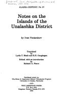
Search results from Open Library.
Recent natural events nearby
Ground air-quality sensors
Recently spotted species
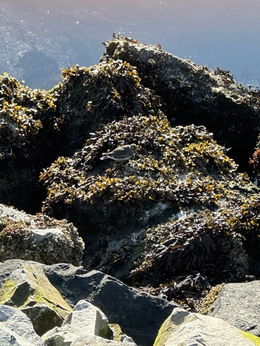

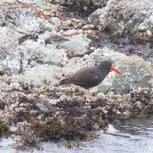
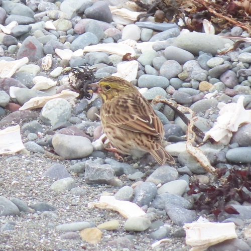
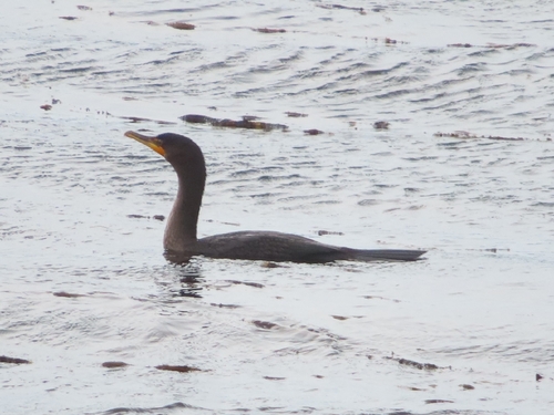
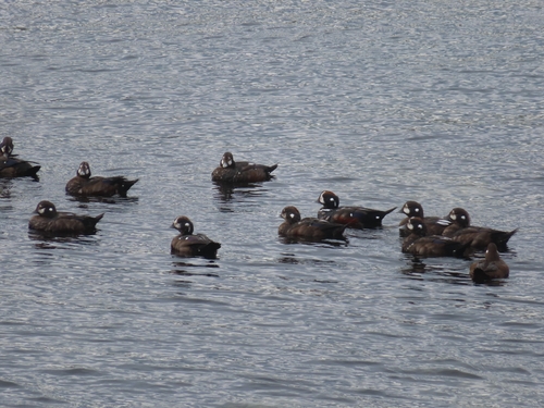
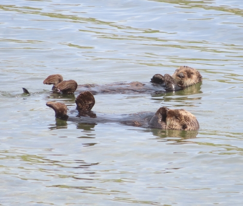
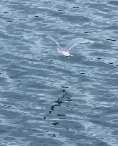
Research-grade observations from iNaturalist (within ~15 mi).
Nearest stream gauge
Events
Gallery
Sources
- • Wikipedia
- • US Census Bureau (ACS 5-year estimates)
- • Wikidata
- • USGS Earthquake Catalog (global feed)
- • iNaturalist
- • CDC PLACES
- • Open-Elevation
- • Open-Meteo / sunrise-sunset.org
- • Wikipedia Pageviews API
- • Open Library