Browse / United States / Alaska / King Cove
King Cove
Alaskacity

King Cove
Total population
1,352
Median home value
$99,800
Bachelor's+
Median income
$61,645
Founded
1949
Demographic figures from US Census Bureau · ACS 5-year estimates. Overview below cites Wikipedia and may reference a different year.
City facts
Facts from Wikidata (CC0).
Overview
King Cove is a city in Aleutians East Borough, Alaska, United States. As of the 2010 census, its population was 938, up from 792 in 2000, but at the 2020 census this had reduced to 757.
Read more on WikipediaHistory & geography
Geography
King Cove is located at . King Cove is on the Pacific side of the Alaska Peninsula, near the tip of that peninsula. It is southeast of Cold Bay and southwest of Anchorage. It lies at approximately 55° 03′ N Latitude and 162° 19′ W Longitude. The area encompasses of land and of water. According to the U.S. Census Bureau, the city has a total area of , of which, is land and (15.23%) is water.
Excerpted from the corresponding Wikipedia article (CC BY-SA).
Demographics & economy
Race & ethnicity
Source: US Census Bureau — American Community Survey, 5-year estimates.
Geography
Coordinates & boundaries from the US Census TIGER/Line shapefiles.
Climate
Current forecast
Forecast for King Cove, AK from NOAA NWS API.
Air quality
Industrial & pollution facilities
Natural hazard risk
Health (adults)
Age-adjusted prevalence estimates from CDC PLACES (latest release).
Walkability
Amenities nearby
Wildlife & biodiversity
Schools
Largest nearby schools
- King Cove SchoolOther · King Cove · 84 students · 7:1 ratio
Public K–12 schools within ~10 mi from Urban Institute Education Data Portal (NCES Common Core of Data, 2022).
Earthquake history
Most recent
- M 4 — 2026-09-2964 km SE of King Cove, Alaska
- M 3 — 2026-09-2860 km SE of False Pass, Alaska
- M 2.7 — 2026-09-1993 km SSE of King Cove, Alaska
- M 2.5 — 2026-09-1822 km WNW of False Pass, Alaska
- M 3 — 2026-09-1786 km SSE of King Cove, Alaska
- M 2.9 — 2026-09-1651 km SSW of King Cove, Alaska
Events from the USGS Earthquake Catalog (global) (FDSN Event Web Service).
Photos
Sights & places nearby
Notable people from here
Nearby places in Alaska
- Cold Bay20.2 mi away · pop. 145
- False Pass42.9 mi away · pop. 151
- Nelson Lagoon58.4 mi away · pop. 78
- Sand Point74 mi away · pop. 1,064
- Ivanof Bay124.6 mi away
- Perryville136.9 mi away · pop. 82
- Akutan152.5 mi away · pop. 694
- Chignik Lake159.9 mi away · pop. 27
- Chignik Lagoon170.8 mi away · pop. 29
- Unalaska187.5 mi away · pop. 4,556
- Port Heiden193.9 mi away · pop. 73
- Pilot Point244.4 mi away · pop. 48
Geography & sun
Elevation, sunrise/sunset and daylight from Open-Meteo. Solar climatology from NASA POWER.
Nearby airports
Public attention
Pageview totals from the Wikimedia Pageviews API.
Books about King Cove
Search results from Open Library.
Recent natural events nearby
Ground air-quality sensors
Recently spotted species
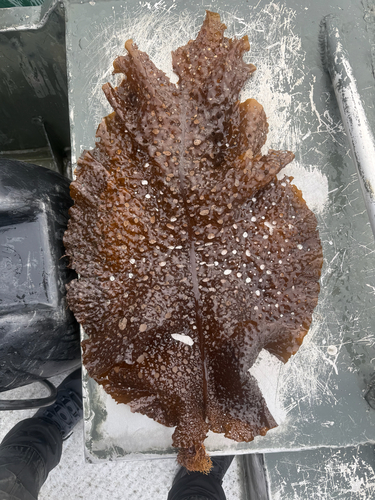
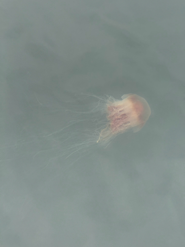
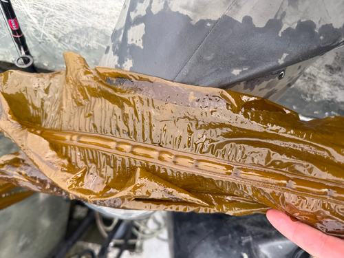
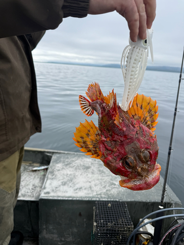
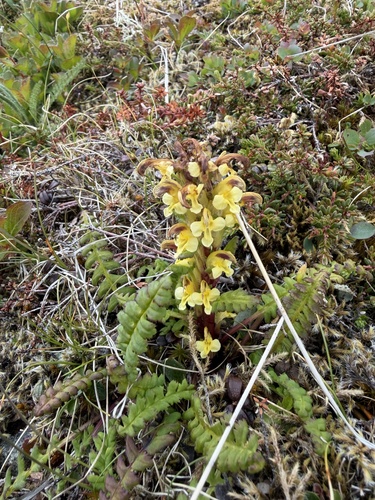
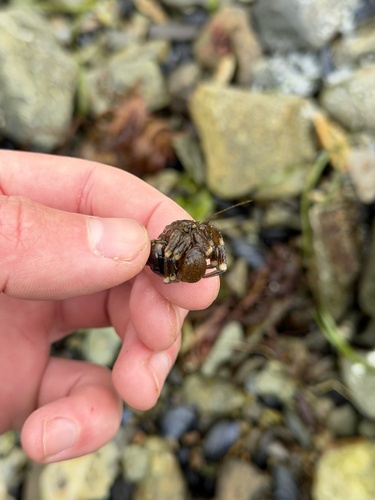
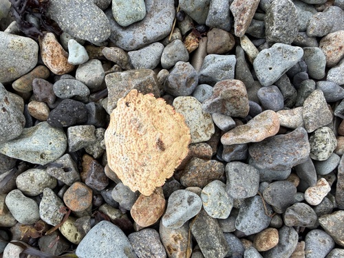
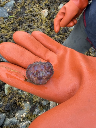
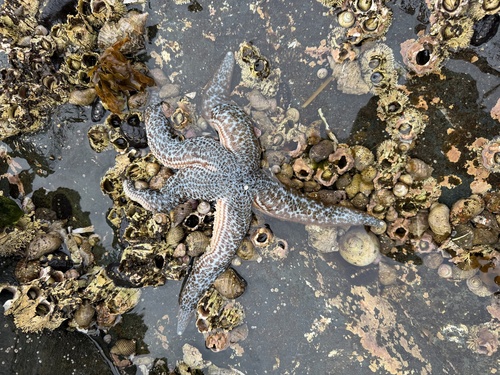
Research-grade observations from iNaturalist (within ~15 mi).
Nearest stream gauge
Live readings from USGS NWIS · measured 2026-09-28 07:15 UTC.
Events
Gallery
Sources
- • Wikipedia
- • US Census Bureau (ACS 5-year estimates)
- • NOAA National Weather Service
- • Wikidata
- • USGS Earthquake Catalog (global feed)
- • USGS NWIS (water data)
- • NCES via Urban Institute Education Data Portal
- • iNaturalist
- • CDC PLACES
- • Open-Meteo / sunrise-sunset.org
- • Wikipedia Pageviews API
- • Open Library