Browse / United States / Alaska / Gakona
Gakona
AlaskaCDP

Gakona
Total population
181
Median home value
$350,000
Bachelor's+
Median income
$96,250
Demographic figures from US Census Bureau · ACS 5-year estimates. Overview below cites Wikipedia and may reference a different year.
City facts
Facts from Wikidata (CC0).
Overview
Gakona is a census-designated place (CDP) in the Copper River Census Area in the U.S. state of Alaska. As of the 2020 census, the population of the CDP was 169, down from 218 in 2010. It is home to the High-frequency Active Auroral Research Program.
Read more on WikipediaHistory & geography
Geography
Gakona is located at (62.301940, -145.30194) (Sec. 18, T006N, R001E, Copper River Meridian). It is positioned in the Chitina Recording District in the center of Copper Valley, surrounded by mountains and the Copper River. Gakona is at the confluence of the Copper and Gakona rivers, northeast of Glennallen. It lies at mile 2 on the Tok Cut-Off to the Glenn Highway, just east of the Richardson Highway. Gakona is located in the continental climate zone, with long, cold winters and relatively warm summers. Temperature extremes have been recorded from . Snowfall averages , with total precipitation of per year. According to the United States Census Bureau, the CDP has a total area of , all of it land.
Excerpted from the corresponding Wikipedia article (CC BY-SA).
Demographics & economy
Race & ethnicity
Source: US Census Bureau — American Community Survey, 5-year estimates.
Geography
Coordinates & boundaries from the US Census TIGER/Line shapefiles.
Climate
Current forecast
Forecast for Gakona, AK from NOAA NWS API.
Air quality
Industrial & pollution facilities
Natural hazard risk
Health (adults)
Age-adjusted prevalence estimates from CDC PLACES (latest release).
Walkability
Amenities nearby
Wildlife & biodiversity
Most-observed species
- American RobinTurdus migratorius Linnaeus, 1766 · Aves89
- Dark-eyed JuncoJunco hyemalis (Linnaeus, 1758) · Aves84
- Yellow-rumped WarblerSetophaga coronata (Linnaeus, 1766) · Aves82
- Common RavenCorvus corax Linnaeus, 1758 · Aves74
- White-crowned SparrowZonotrichia leucophrys (J.R.Forster, 1772) · Aves69
- Ruby-crowned KingletRegulus calendula (Linnaeus, 1766) · Aves64
- Gray JayPerisoreus canadensis (Linnaeus, 1766) · Aves60
- Short-billed GullLarus brachyrhynchus Richardson, 1831 · Aves57
Citizen-science & research observations from the Global Biodiversity Information Facility (GBIF).
Schools
Earthquake history
Most recent
- M 3 — 2026-09-2413 km ENE of Slana, Alaska
- M 2.8 — 2026-09-0916 km SSE of Kenny Lake, Alaska
- M 2.8 — 2026-06-2433 km SSE of Nelchina, Alaska
- M 2.5 — 2026-02-1729 km NNW of Chistochina, Alaska
- M 2.6 — 2026-01-3014 km S of Nelchina, Alaska
- M 2.7 — 2026-01-0737 km NW of Mentasta Lake, Alaska
Events from the USGS Earthquake Catalog (global) (FDSN Event Web Service).
Photos
Sights & places nearby
Notable people from here
Nearby places in Alaska
Geography & sun
Elevation, sunrise/sunset and daylight from Open-Meteo. Solar climatology from NASA POWER.
Nearby airports
Public attention
Pageview totals from the Wikimedia Pageviews API.
Books about Gakona


Search results from Open Library.
Recent natural events nearby
- Wildfire Mukluk, Southeast Fairbanks, AlaskaWildfires · 2026-08-17 · 98 mi
Wildfires, storms and other events from NASA EONET (last 12 months, within 250 mi).
Ground air-quality sensors
Recently spotted species
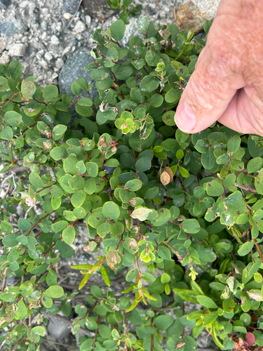
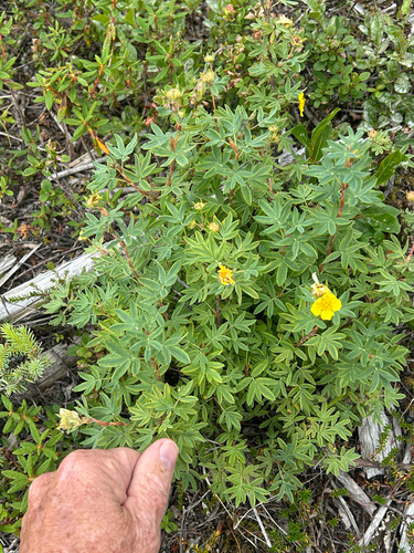
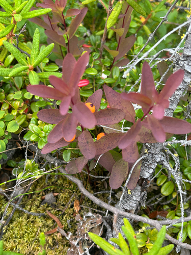
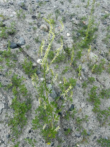
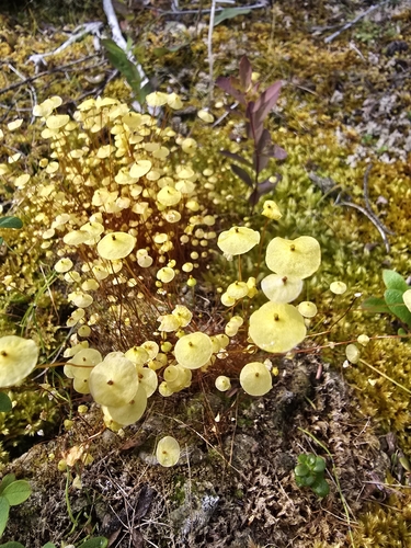
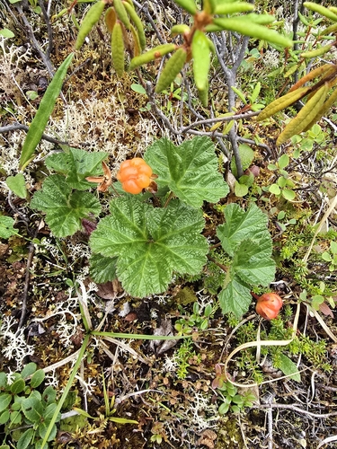
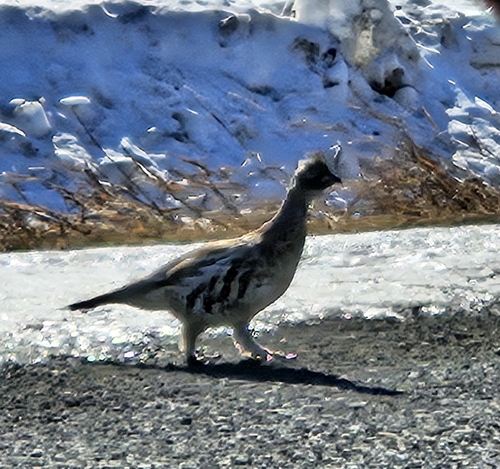
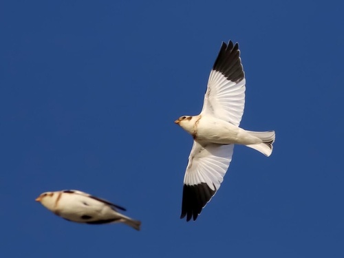
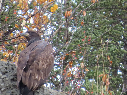
Research-grade observations from iNaturalist (within ~15 mi).
Nearest stream gauge
Live readings from USGS NWIS · measured 2026-10-05 16:15 UTC.
Events
Gallery
Sources
- • Wikipedia
- • US Census Bureau (ACS 5-year estimates)
- • NOAA National Weather Service
- • Wikidata
- • USGS Earthquake Catalog (global feed)
- • USGS NWIS (water data)
- • GBIF (Global Biodiversity Information Facility)
- • iNaturalist
- • CDC PLACES
- • Open-Meteo / sunrise-sunset.org
- • Wikipedia Pageviews API
- • Open Library
- • NASA EONET