Browse / United States / Alaska / Chistochina
Chistochina
AlaskaCDP

Chistochina
Total population
58
Median home value
$247,700
Bachelor's+
Median income
$83,000
Air quality index
Demographic figures from US Census Bureau · ACS 5-year estimates. Overview below cites Wikipedia and may reference a different year.
City facts
Facts from Wikidata (CC0).
Overview
Chistochina is a census-designated place (CDP) in Copper River Census Area, Alaska, United States. At the 2020 census the population was 60, down from 93 in 2010.
Read more on WikipediaHistory & geography
History
Chistochina began as an Ahtna Athabascan fish camp and a stopover place for traders and trappers. The village access road later became part of the Valdez-Eagle Trail, constructed by miners during the gold rush to the Eagle area in 1897. Chistochina Lodge was built as a roadhouse for prospectors. Gold was mined along the upper Chistochina River and its runoff creeks. The area was settled by homesteaders, although it has remained the most traditional of all Ahtna Athabascan villages .
Geography
Chistochina is located at (62.577713, -144.669613). Located between mile 31 and 37 on the Tok Cutoff Highway, Chistochina is a midway point between the Canada–US border and Anchorage, or midway between Tok and Glennallen. According to the United States Census Bureau, the CDP has a total area of , of which, of it is land and of it (0.11%) is water.
Excerpted from the corresponding Wikipedia article (CC BY-SA).
Demographics & economy
Race & ethnicity
Source: US Census Bureau — American Community Survey, 5-year estimates.
Geography
Coordinates & boundaries from the US Census TIGER/Line shapefiles.
Climate
Current forecast
Forecast for Chistochina, AK from NOAA NWS API.
Air quality
Current readings from Open-Meteo Air Quality API (Copernicus CAMS European reanalysis).
Industrial & pollution facilities
Natural hazard risk
Health (adults)
Walkability
Amenities nearby
Wildlife & biodiversity
Schools
Earthquake history
Most recent
- M 3 — 2026-09-2415 km ENE of Slana, Alaska
- M 3.1 — 2026-08-2813 km N of Mentasta Lake, Alaska
- M 3.1 — 2026-08-0628 km SSW of Dry Creek, Alaska
- M 3 — 2026-07-1732 km SSW of Dry Creek, Alaska
- M 2.6 — 2026-05-2336 km SSW of Dry Creek, Alaska
- M 2.5 — 2026-02-1729 km NNW of Chistochina, Alaska
Events from the USGS Earthquake Catalog (global) (FDSN Event Web Service).
Photos
Sights & places nearby
Notable people from here
Nearby places in Alaska
- Gakona19.6 mi away · pop. 181
- Paxson36.8 mi away · pop. 17
- Glennallen42.1 mi away · pop. 450
- Copper Center43.3 mi away · pop. 346
- Mentasta Lake52.2 mi away · pop. 96
- Tolsona52.6 mi away · pop. 76
- Willow Creek53.6 mi away · pop. 144
- Lake Louise55 mi away
- Nabesna62 mi away
- Mendeltna66 mi away · pop. 41
- Kenny Lake67.5 mi away · pop. 289
- Tanacross68.2 mi away
Geography & sun
Elevation, sunrise/sunset and daylight from Open-Meteo. Solar climatology from NASA POWER.
Nearby airports
Public attention
Pageview totals from the Wikimedia Pageviews API.
Books about Chistochina
Search results from Open Library.
Recent natural events nearby
- Wildfire Mukluk, Southeast Fairbanks, AlaskaWildfires · 2026-08-17 · 78 mi
Wildfires, storms and other events from NASA EONET (last 12 months, within 250 mi).
Ground air-quality sensors
Recently spotted species
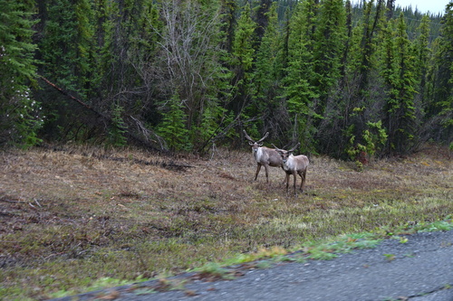
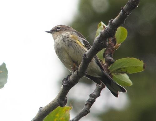
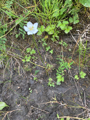
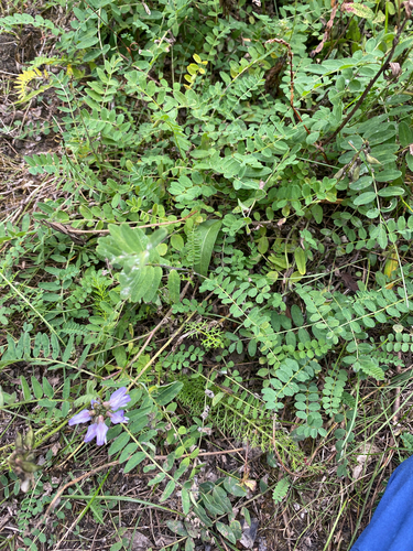
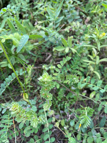
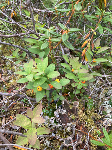
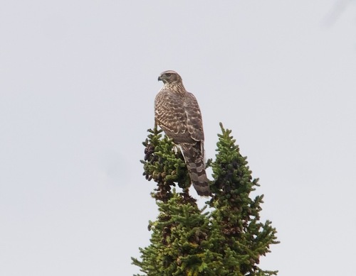
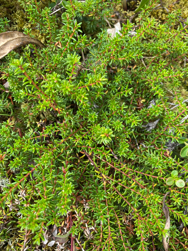
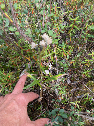
Research-grade observations from iNaturalist (within ~15 mi).
Nearest stream gauge
Live readings from USGS NWIS · measured 2026-10-05 16:15 UTC.
Events
Gallery
Sources
- • Wikipedia
- • US Census Bureau (ACS 5-year estimates)
- • NOAA National Weather Service
- • Wikidata
- • Open-Meteo Air Quality (CAMS)
- • USGS Earthquake Catalog (global feed)
- • USGS NWIS (water data)
- • iNaturalist
- • Open-Meteo / sunrise-sunset.org
- • Wikipedia Pageviews API
- • Open Library
- • NASA EONET