Browse / United States / Alaska / Tanacross
Tanacross
AlaskaCDP
Total population
155
Median home value
$85,000
Bachelor's+
Median income
$53,125
Air quality index
Demographic figures from US Census Bureau · ACS 5-year estimates. Overview below cites Wikipedia and may reference a different year.
City facts
Facts from Wikidata (CC0).
Overview
Tanacross is a census-designated place (CDP) in Southeast Fairbanks Census Area, Alaska, United States. As of the 2020 census, Tanacross had a population of 144. It hosts an air tanker base.
Read more on WikipediaHistory & geography
History
Tanacross, initially founded as a telegraph station called Tanana Crossing (also known as St. Timothy's). The name was shortened to Tanacross before 1940. The village was initially located on the north bank of the Tanana River. An airstrip was built on the south bank during the mid-1930s and upgraded for military use during World War II in 1941–42. Thousands of troops deployed through Tanacross during the period. The airfield was closed after the war. In 1972, the town itself relocated south across the river due to water contamination. In 1979, the old village burned due to an uncontrolled grass fire.
Geography
Tanacross is located at (63.376206, -143.356991). According to the United States Census Bureau, the CDP has a total area of , of which, of it is land and of it (1.38%) is water.
Excerpted from the corresponding Wikipedia article (CC BY-SA).
Demographics & economy
Race & ethnicity
Source: US Census Bureau — American Community Survey, 5-year estimates.
Geography
Coordinates & boundaries from the US Census TIGER/Line shapefiles.
Climate
Current forecast
Forecast for Tanacross, AK from NOAA NWS API.
Air quality
Current readings from Open-Meteo Air Quality API (Copernicus CAMS European reanalysis).
Industrial & pollution facilities
Natural hazard risk
Health (adults)
Age-adjusted prevalence estimates from CDC PLACES (latest release).
Walkability
Amenities nearby
Wildlife & biodiversity
Most-observed species
- Swainson's ThrushCatharus ustulatus (Nuttall, 1840) · Aves48
- Yellow-rumped WarblerSetophaga coronata (Linnaeus, 1766) · Aves43
- Dark-eyed JuncoJunco hyemalis (Linnaeus, 1758) · Aves37
- American RobinTurdus migratorius Linnaeus, 1766 · Aves28
- Common RavenCorvus corax Linnaeus, 1758 · Aves27
- Gray JayPerisoreus canadensis (Linnaeus, 1766) · Aves25
- Ruby-crowned KingletRegulus calendula (Linnaeus, 1766) · Aves25
- Alder FlycatcherEmpidonax alnorum Brewster, 1895 · Aves16
Citizen-science & research observations from the Global Biodiversity Information Facility (GBIF).
Schools
Largest nearby schools
- Tanacross SchoolElementary · Tanacross · 10 students · 10:1 ratio
Public K–12 schools within ~10 mi from Urban Institute Education Data Portal (NCES Common Core of Data, 2022).
Earthquake history
Most recent
- M 3 — 2026-09-2415 km ENE of Slana, Alaska
- M 3.1 — 2026-08-2813 km N of Mentasta Lake, Alaska
- M 3.1 — 2026-08-0628 km SSW of Dry Creek, Alaska
- M 3 — 2026-07-1732 km SSW of Dry Creek, Alaska
- M 2.6 — 2026-05-2336 km SSW of Dry Creek, Alaska
- M 2.5 — 2026-02-1729 km NNW of Chistochina, Alaska
Events from the USGS Earthquake Catalog (global) (FDSN Event Web Service).
Photos
Sights & places nearby
Notable people from here
People born within ~10 km, from Wikidata (CC0). Click any name for their Wikipedia article.
Nearby places in Alaska
- Mentasta Lake22 mi away · pop. 96
- Tetlin32.2 mi away · pop. 123
- Dry Creek41.1 mi away · pop. 162
- Nabesna59.4 mi away
- Deltana65.6 mi away · pop. 1,997
- Chicken73 mi away
- Paxson74.9 mi away · pop. 17
- Gakona87.7 mi away · pop. 181
- Big Delta89.6 mi away · pop. 565
- Whitestone93.3 mi away · pop. 18
- Copper Center109.4 mi away · pop. 346
- Glennallen110.2 mi away · pop. 450
Geography & sun
Elevation, sunrise/sunset and daylight from Open-Meteo. Solar climatology from NASA POWER.
Nearby airports
Public attention
Pageview totals from the Wikimedia Pageviews API.
Books about Tanacross

Search results from Open Library.
Recent natural events nearby
- Wildfire Mukluk, Southeast Fairbanks, AlaskaWildfires · 2026-08-17 · 13 mi
Wildfires, storms and other events from NASA EONET (last 12 months, within 250 mi).
Ground air-quality sensors
Recently spotted species
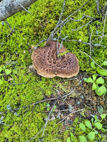
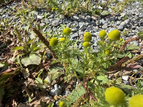
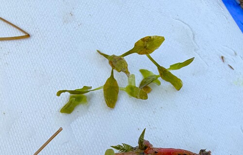
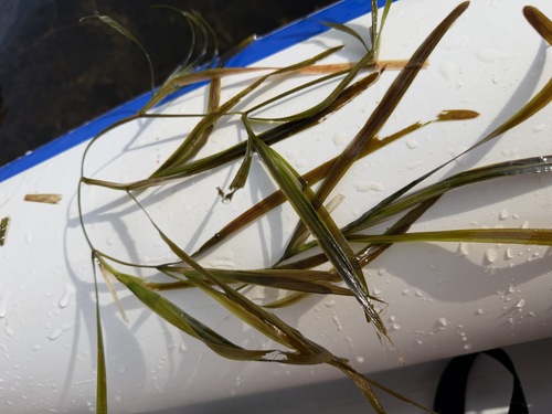
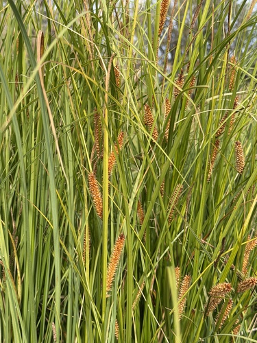
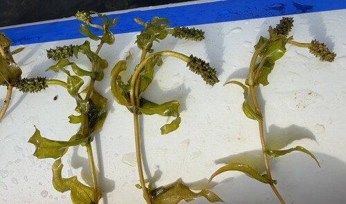
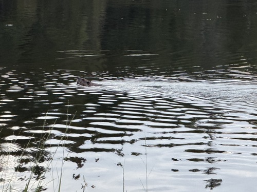
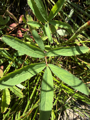
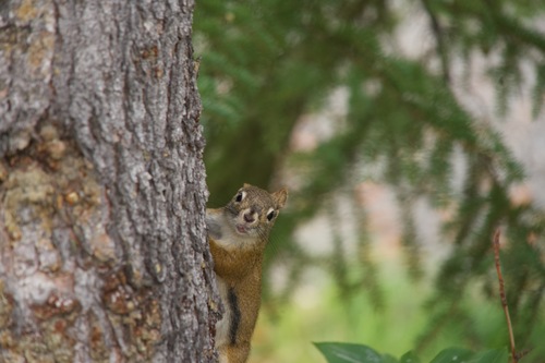
Research-grade observations from iNaturalist (within ~15 mi).
Nearest stream gauge
Events
Gallery
Sources
- • Wikipedia
- • US Census Bureau (ACS 5-year estimates)
- • NOAA National Weather Service
- • Wikidata
- • Open-Meteo Air Quality (CAMS)
- • USGS Earthquake Catalog (global feed)
- • NCES via Urban Institute Education Data Portal
- • GBIF (Global Biodiversity Information Facility)
- • iNaturalist
- • CDC PLACES
- • Open-Meteo / sunrise-sunset.org
- • Wikipedia Pageviews API
- • Open Library
- • NASA EONET