Browse / United States / Alaska / Chicken
Chicken
AlaskaCDP

Chicken
Total population
0
Median home value
$0
Median income
$0
Demographic figures from US Census Bureau · ACS 5-year estimates. Overview below cites Wikipedia and may reference a different year.
- Special Weather Statement · ModerateSpecial Weather Statement issued September 29 at 3:16PM AKDT by NWS Fairbanks AK
Source: NOAA National Weather Service.
City facts
Facts from Wikidata (CC0).
Overview
Chicken is a census-designated place in Southeast Fairbanks Census Area, Alaska. It is a community founded on gold mining, and is one of the few surviving gold rush towns in Alaska. The population was 12 at the time of the 2020 census, up from 7 in 2010. Due to mining, Chicken's population peaks during the summer.
Read more on WikipediaHistory & geography
History
Chicken was settled by gold miners in the late-19th century. In 1902 the local post office was established, requiring a community name. Legendarily, due to the prevalence of ptarmigan in the area, that name was suggested as the official name for the new community. However, the spelling could not be agreed on, and "Chicken" was used to avoid embarrassment. However, this is likely apocryphal, since it was popularized in the 1940s, almost 50 years after the town was founded. The most likely origin is from nearby Chicken Creek, as noted by Josiah Edward Spurr in 1896, “The creek is so named from the size of the gold, which is about that of chicken feed (corn).” Chicken has frequently been noted on lists of unusual place names. A portion of Chicken, with buildings from the early 1900s and the F.E. Company Dredge No. 4 (Pedro Dredge), is listed on the National Register of Historic Places as the Chicken Historic District. Chicken is the outpost for the 40-Mile mining district. There are still active gold mines and inactive gold dredges in this area. Enough gold was mined here to make it worthwhile to haul huge gold dredges to this remote location. On September 7, 2021, Jack in the Box released an ad campaign claiming to have purchased the town for 10,000 Cluck Chicken Sandwiches and a commemorative hat. The company explains on a website created for the campaign this was only an ad, but that the company has donated $10,000 to help the town amid the pandemic. However, as of September 2021 the downtown area of Chicken (not owned by Jack in the Box) was for sale, including the Chicken Creek Cafe, the Chicken Creek Saloon, a liquor store, a gas station, the Chicken Mercantile Emporium, and a 1400-sq.-ft. residential cabin.
Geography
According to the United States Census Bureau, the CDP has a total area of , all of it land. Chicken is accessible by air via Chicken Airport, and by road via Alaska Route 5, the Taylor Highway, which is not maintained from mid-October through mid-March. According to the Köppen Climate Classification system, Chicken has a dry-winter subarctic climate (Koppen: Dwc), it is characterized by extremely cold and long winters and warm, short summers. The average temperature of Chicken is , July is the hottest month with , and the coldest month is January with . Although Chicken has a latitude of 64°N, it is hardly affected by the Chinook winds. So far, the maximum temperature in January has never exceeded , and the extreme high temperature in December is also . Even in the hottest months, nighttime temperatures are low enough that there is a greater chance of frost in the hottest months of the year, June and July. Extreme temperatures range from to . Among them, four days of extreme low temperature were recorded, namely January 1, 2000, February 7–8, 2008, and December 31, 1999. Chicken holds the United States record for the coldest temperature ever recorded in the country in December. Chicken's extreme high temperature was recorded for two days; both occurred on July 4 and 7, 1998. The record cold daily maximum is , set on January 1, 2000, while, conversely, the record warm daily minimum is on June 9, 2017. |source 2 = WRCC }}
Excerpted from the corresponding Wikipedia article (CC BY-SA).
Demographics & economy
Source: US Census Bureau — American Community Survey, 5-year estimates.
Geography
Coordinates & boundaries from the US Census TIGER/Line shapefiles.
Climate
Current forecast
Forecast for Chicken, AK from NOAA NWS API.
Air quality
Industrial & pollution facilities
Natural hazard risk
Health (adults)
Walkability
Amenities nearby
Wildlife & biodiversity
Schools
Earthquake history
Photos
Sights & places nearby
Notable people from here
Nearby places in Alaska
- Eagle Village50.1 mi away · pop. 24
- Eagle51.5 mi away · pop. 95
- Tetlin65.9 mi away · pop. 123
- Tanacross73 mi away · pop. 155
- Dry Creek91.3 mi away · pop. 162
- Mentasta Lake91.5 mi away · pop. 96
- Deltana108.9 mi away · pop. 1,997
- Nabesna115.9 mi away
- Big Delta118.1 mi away · pop. 565
- Whitestone123.1 mi away · pop. 18
- Central128 mi away · pop. 108
- Circle139.1 mi away · pop. 54
Geography & sun
Elevation, sunrise/sunset and daylight from Open-Meteo. Solar climatology from NASA POWER.
Nearby airports
Public attention
Pageview totals from the Wikimedia Pageviews API.
Books about Chicken


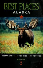
Search results from Open Library.
Recent natural events nearby
- Wildfire Mukluk, Southeast Fairbanks, AlaskaWildfires · 2026-08-17 · 64 mi
Wildfires, storms and other events from NASA EONET (last 12 months, within 250 mi).
Ground air-quality sensors
Recently spotted species
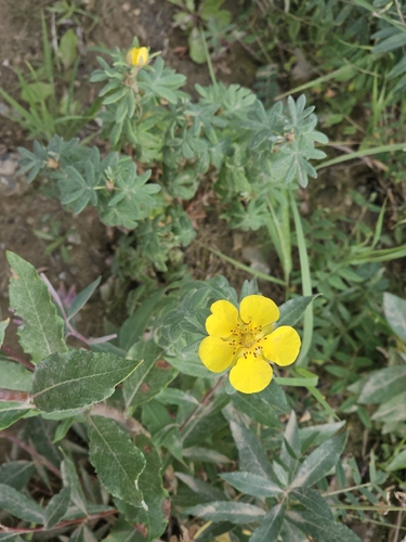
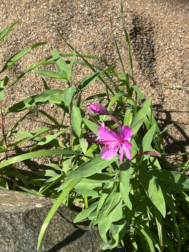
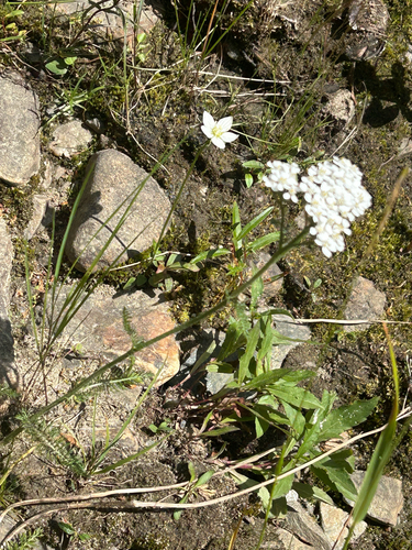
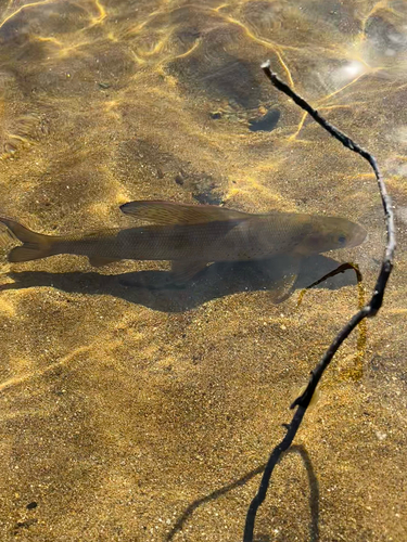
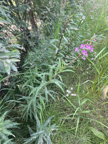
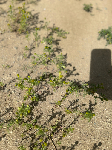
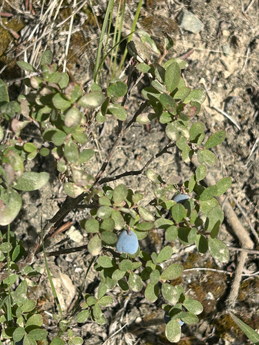
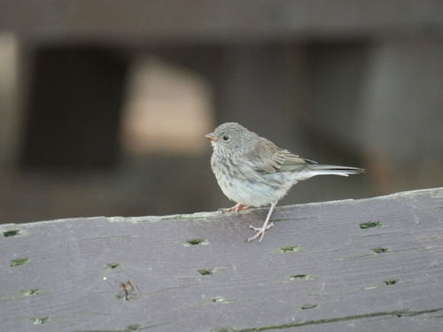
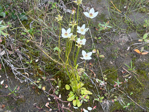
Research-grade observations from iNaturalist (within ~15 mi).
Nearest stream gauge
Live readings from USGS NWIS · measured 2026-10-14 07:15 UTC.
Events
Gallery
Sources
- • Wikipedia
- • US Census Bureau (ACS 5-year estimates)
- • NOAA National Weather Service
- • Wikidata
- • USGS NWIS (water data)
- • iNaturalist
- • Open-Meteo / sunrise-sunset.org
- • Wikipedia Pageviews API
- • Open Library
- • NASA EONET