Browse / United States / Alaska / Noorvik
Noorvik
Alaskacity

Noorvik
Total population
748
Median home value
$157,500
Bachelor's+
Median income
$63,750
Demographic figures from US Census Bureau · ACS 5-year estimates. Overview below cites Wikipedia and may reference a different year.
City facts
Facts from Wikidata (CC0).
Overview
Noorvik is an Iñupiat city in the Northwest Arctic Borough in the U.S. state of Alaska. As of the 2020 census, the population of the city was 694, up from 668 in 2010. Located in the NANA Region Corp, Noorvik has close ties with the largest city in the region, Kotzebue. Residents speak a dialect of Iñupiaq known as Noorvik Inupiaq. Noorvik was the first town to be counted in the 2010 census.
Read more on WikipediaHistory & geography
History
Noorvik means "a place that is moved to" in Inupiaq. The village was established by Kowagmuit Inupiat fishermen and hunters from Deering in the early 1900s. Other settlers came from Oksik, a few miles upriver. The area had previously been inhabited by Kuuŋmuit Inupiaq up until the beginning of the 20th century, whose organized settlements had largely disappeared by the turn of the century due to famine and a flu outbreak. However, the village tribal association has founded itself on "the legacy of the Kuuŋmuit Inuit," including basing their logo on a map of the Kuuŋmuit's former territory.
Geography
Noorvik is located at (66.837130, -161.036641). Noorvik is located on the right bank of the Nazuruk Channel of the Kobuk River, east of Kotzebue. According to the United States Census Bureau, the city has a total area of , of which, of it is land and of it (28.36%) is water.
Excerpted from the corresponding Wikipedia article (CC BY-SA).
Demographics & economy
Race & ethnicity
Source: US Census Bureau — American Community Survey, 5-year estimates.
Geography
Coordinates & boundaries from the US Census TIGER/Line shapefiles.
Climate
Current forecast
Forecast for Noorvik, AK from NOAA NWS API.
Air quality
Industrial & pollution facilities
Natural hazard risk
Health (adults)
Age-adjusted prevalence estimates from CDC PLACES (latest release).
Walkability
Amenities nearby
Wildlife & biodiversity
Schools
Largest nearby schools
- Aqqaluk High/Noorvik ElementaryOther · Noorvik · 203 students · 22.6:1 ratio
Public K–12 schools within ~10 mi from Urban Institute Education Data Portal (NCES Common Core of Data, 2022).
Earthquake history
Most recent
- M 3 — 2026-08-0962 km NNE of Kiana, Alaska
- M 2.7 — 2026-04-3034 km NNE of Deering, Alaska
- M 4 — 2025-11-0440 km S of Kotzebue, Alaska
- M 2.5 — 2025-07-1866 km E of Noatak, Alaska
- M 2.7 — 2025-07-1368 km E of Noatak, Alaska
- M 3 — 2025-06-1753 km E of Noatak, Alaska
Events from the USGS Earthquake Catalog (global) (FDSN Event Web Service).
Photos
Sights & places nearby
Notable people from here
People born within ~10 km, from Wikidata (CC0). Click any name for their Wikipedia article.
Nearby places in Alaska
- Kiana19.1 mi away · pop. 437
- Selawik32.6 mi away · pop. 412
- Kotzebue40 mi away · pop. 2,984
- Buckland58.9 mi away · pop. 533
- Deering70.9 mi away · pop. 227
- Noatak74.6 mi away · pop. 786
- Red Dog Mine98.2 mi away
- Shungnak105.5 mi away · pop. 147
- Kivalina112.2 mi away · pop. 809
- Kobuk112.3 mi away · pop. 101
- Koyuk130.4 mi away · pop. 348
- Shishmaref145.9 mi away · pop. 466
Geography & sun
Elevation, sunrise/sunset and daylight from Open-Meteo. Solar climatology from NASA POWER.
Nearby airports
Public attention
Pageview totals from the Wikimedia Pageviews API.
Books about Noorvik
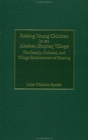
Search results from Open Library.
Recent natural events nearby
Ground air-quality sensors
Recently spotted species
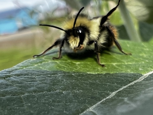
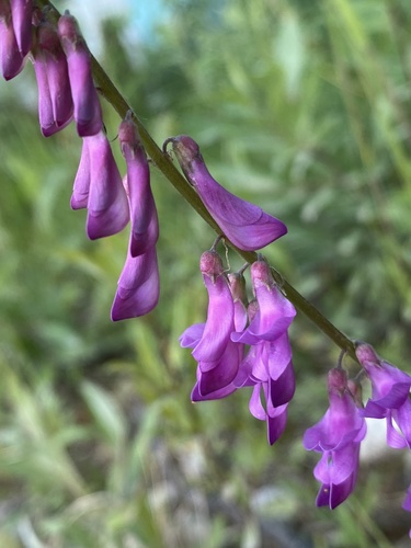
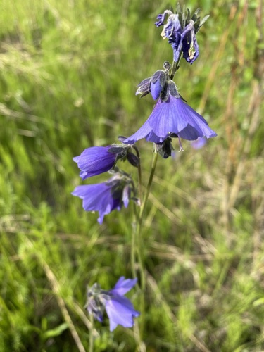
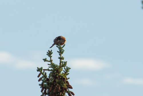
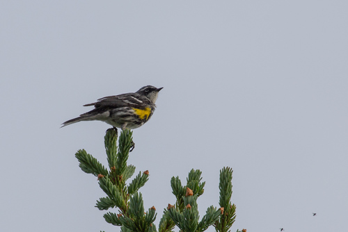
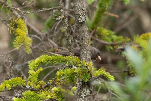
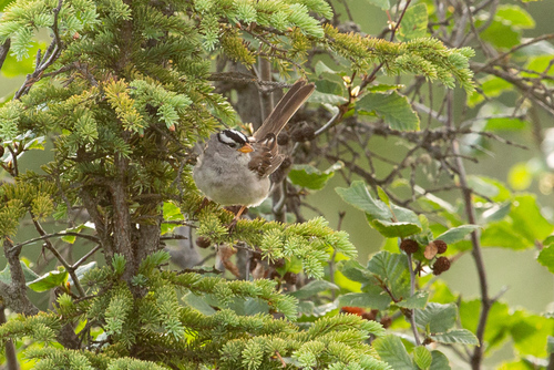
Research-grade observations from iNaturalist (within ~15 mi).
Nearest stream gauge
Live readings from USGS NWIS · measured 2026-10-05 16:15 UTC.
Events
Gallery
Sources
- • Wikipedia
- • US Census Bureau (ACS 5-year estimates)
- • NOAA National Weather Service
- • Wikidata
- • USGS Earthquake Catalog (global feed)
- • USGS NWIS (water data)
- • NCES via Urban Institute Education Data Portal
- • iNaturalist
- • CDC PLACES
- • Open-Meteo / sunrise-sunset.org
- • Wikipedia Pageviews API
- • Open Library