Browse / United States / Alaska / Skagway
Skagway
AlaskaCDP

Skagway
Total population
1,174
Median home value
$426,500
Bachelor's+
Median income
$89,028
Founded
1897
Air quality index
Demographic figures from US Census Bureau · ACS 5-year estimates. Overview below cites Wikipedia and may reference a different year.
- Wind Advisory · ModerateWind Advisory issued October 5 at 1:09PM AKDT until October 5 at 7:00PM AKDT by NWS Juneau AK
Source: NOAA National Weather Service.
City facts
Facts from Wikidata (CC0).
Overview
The Municipality and Borough of Skagway is a borough and city in the U.S. state of Alaska, on the Alaska Panhandle. As of the 2020 census, the population was 1,240, up from 968 in 2010. The population doubles in the summer tourist season in order to deal with the large number of summer tourists each year. Incorporated as a borough on June 25, 2007, it was previously a city in the Skagway-Yakutat-Angoon Census Area. The most populated community is the census-designated place of Skagway.
Read more on WikipediaHistory & geography
History
Skagway is the English adaptation of sha-ka-ԍéi, a Tlingit idiom which figuratively refers to rough seas in the Taiya Inlet, that are caused by strong north winds. Literally, sha-ka-ԍéi is a verbal noun which means pretty woman. The verbal noun was derived from the Tlingit finite verb theme -sha-ka-li-ԍéi, which means, in the case of a woman, to be pretty. The story behind the name is that Sha-ka-ԍéi or Skagway ["Pretty Woman"] was the nickname of Kanagoo, a mythical woman who transformed herself into stone at Skagway Bay and who (according to the story) now causes the strong, channeled winds which blow toward Haines, Alaska. The rough seas caused by these winds have therefore been referred to figuratively by using Kanagoo's nickname, Sha-ka-ԍéi or Skagway. The Kanagoo stone formation is now known as Face Mountain, which is seen from Skagway Bay. The Tlingit name for Face Mountain is Kanagoo Yahaayí [Kanagoo's Image/Soul]. Source: One prominent resident of early Skagway was William "Billy" Moore, a steamboat captain and veteran of the Stikine and Cassiar gold rushes. As part of an 1887 Canadian boundary survey expedition, he investigated the Coast Mountains pass—later known as White Pass—and identified the route for the future White Pass & Yukon Route railroad. In 1887, Moore and his son claimed a 160-acre homestead at the Skagway River mouth, and his vessel, the Gertrude, faced delays during U.S. customs blockades. Vaguely defined boundaries along the Alaska Panhandle created overlapping territorial claims. While Canada proposed a joint survey in 1871, the U.S. rejected it as "too costly" given the region's remoteness and limited perceived value. This rejection was disingenuous, as politicians and southern newspapers simultaneously touted the area's strategic…
Geography
Skagway is located at (59.468519, −135.305962). Skagway is located in a narrow glaciated valley at the head of the Taiya Inlet, the north end of the Lynn Canal, which is the most northern fjord on the Inside Passage on the south coast of Alaska. It is in the Alaska panhandle northwest of Juneau, Alaska's capital city. According to the U.S. Census Bureau, the borough has a total area of , of which is land and (2.5%) is water.
Excerpted from the corresponding Wikipedia article (CC BY-SA).
Demographics & economy
Race & ethnicity
Source: US Census Bureau — American Community Survey, 5-year estimates.
Geography
Coordinates & boundaries from the US Census TIGER/Line shapefiles.
Climate
Current forecast
Forecast for Skagway, AK from NOAA NWS API.
Air quality
Current readings from Open-Meteo Air Quality API (Copernicus CAMS European reanalysis).
Industrial & pollution facilities
Natural hazard risk
Health (adults)
Age-adjusted prevalence estimates from CDC PLACES (latest release).
Walkability
Amenities nearby
Wildlife & biodiversity
Most-observed species
- American CrowCorvus brachyrhynchos C.L.Brehm, 1822 · Aves781
- Bald EagleHaliaeetus leucocephalus (Linnaeus, 1766) · Aves526
- Common RavenCorvus corax Linnaeus, 1758 · Aves497
- Arctic TernSterna paradisaea Pontoppidan, 1763 · Aves463
- Dark-eyed JuncoJunco hyemalis (Linnaeus, 1758) · Aves459
- American RobinTurdus migratorius Linnaeus, 1766 · Aves448
- Steller's JayCyanocitta stelleri (Gmelin, 1788) · Aves444
- Short-billed GullLarus brachyrhynchus Richardson, 1831 · Aves424
Citizen-science & research observations from the Global Biodiversity Information Facility (GBIF).
Schools
Largest nearby schools
- Skagway SchoolOther · Skagway · 152 students · 10.9:1 ratio
Public K–12 schools within ~10 mi from Urban Institute Education Data Portal (NCES Common Core of Data, 2022).
Earthquake history
Most recent
- M 3.1 — 2026-08-2048 km SSW of Covenant Life, Alaska
- M 2.8 — 2026-08-2048 km SSW of Covenant Life, Alaska
- M 2.7 — 2026-06-2433 km WSW of Mosquito Lake, Alaska
- M 3 — 2026-05-2432 km SSW of Covenant Life, Alaska
- M 2.9 — 2026-05-1119 km NNW of Mosquito Lake, Alaska
- M 2.9 — 2026-05-1040 km WSW of Haines, Alaska
Events from the USGS Earthquake Catalog (global) (FDSN Event Web Service).
Photos
Sights & places nearby
Notable people from here
Nearby places in Alaska
Geography & sun
Elevation, sunrise/sunset and daylight from Open-Meteo. Solar climatology from NASA POWER.
Nearby airports
Public attention
Pageview totals from the Wikimedia Pageviews API.
Books about Skagway


Search results from Open Library.
Recent natural events nearby
Ground air-quality sensors
Recently spotted species
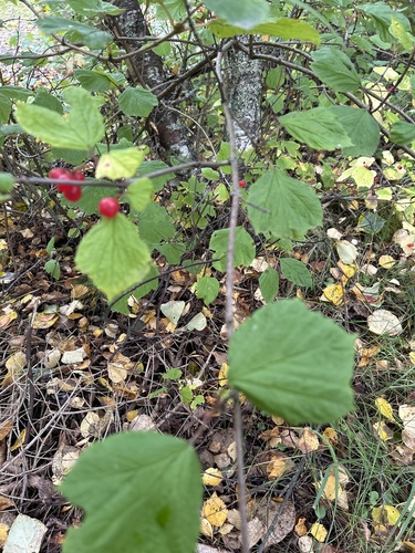
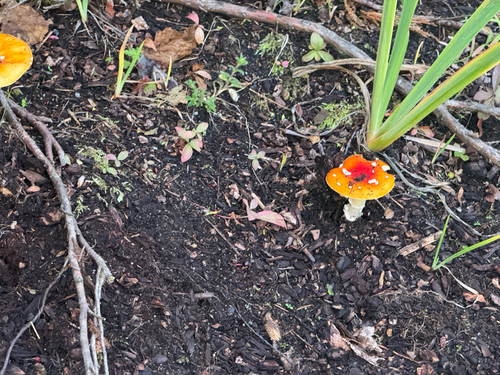

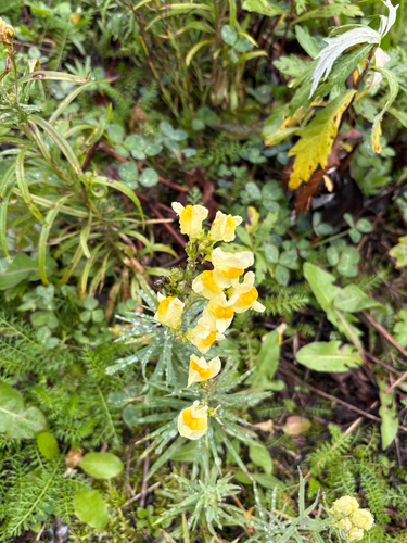
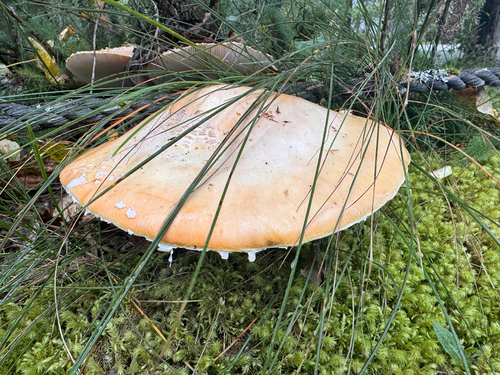
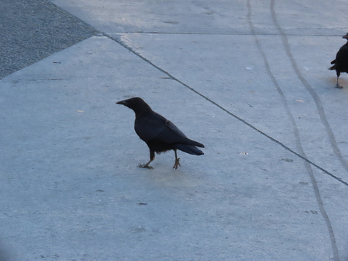
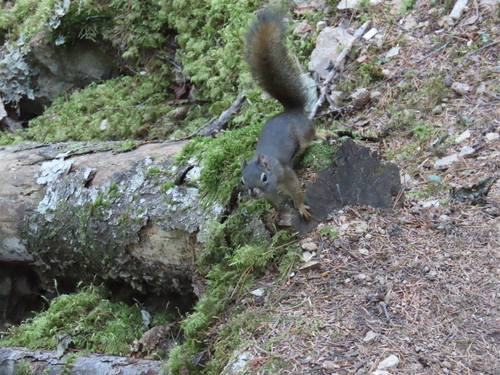
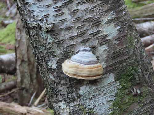
Research-grade observations from iNaturalist (within ~15 mi).
Nearest stream gauge
Live readings from USGS NWIS · measured 2026-10-05 16:00 UTC.
Events
Gallery
Sources
- • Wikipedia
- • US Census Bureau (ACS 5-year estimates)
- • NOAA National Weather Service
- • Wikidata
- • Open-Meteo Air Quality (CAMS)
- • USGS Earthquake Catalog (global feed)
- • USGS NWIS (water data)
- • NCES via Urban Institute Education Data Portal
- • GBIF (Global Biodiversity Information Facility)
- • iNaturalist
- • CDC PLACES
- • Open-Meteo / sunrise-sunset.org
- • Wikipedia Pageviews API
- • Open Library