Browse / United States / Alaska / Steele Creek
Steele Creek
AlaskaCDP

Steele Creek
Total population
5,928
Median home value
$348,400
Bachelor's+
Median income
$121,364
Air quality index
Demographic figures from US Census Bureau · ACS 5-year estimates. Overview below cites Wikipedia and may reference a different year.
- Flood Watch · SevereFlood Watch issued September 14 at 3:36PM AKDT until September 19 at 4:00PM AKDT by NWS Fairbanks AK
Source: NOAA National Weather Service.
City facts
Facts from Wikidata (CC0).
Overview
Steele Creek is a census-designated place (CDP) in Fairbanks North Star Borough, Alaska, United States. It is part of the Fairbanks, Alaska Metropolitan Statistical Area. As of the 2020 census, the population was 6,437, down from 6,662 in 2010. It is the eighth-most populated CDP in Alaska.
Read more on WikipediaHistory & geography
Geography
Steele Creek is located northeast of Fairbanks and east of the Steese Highway. The community is named for the creek which flows from north to south across the western part of the CDP, rising on Tungsten Hill and flowing towards the Chena River. The CDP extends east as far as the Little Chena River and Iowa Creek. The CDP is bounded by Two Rivers to the east, Badger to the south, Fairbanks to the southwest, Farmers Loop to the west, and Fox to the northwest. According to the U.S. Census Bureau, the Steele Creek CDP has a total area of , of which , or 0.01%, is water.
Excerpted from the corresponding Wikipedia article (CC BY-SA).
Demographics & economy
Race & ethnicity
Source: US Census Bureau — American Community Survey, 5-year estimates.
Geography
Coordinates & boundaries from the US Census TIGER/Line shapefiles.
Climate
Current forecast
Forecast for Steele Creek, AK from NOAA NWS API.
Air quality
Current readings from Open-Meteo Air Quality API (Copernicus CAMS European reanalysis).
Industrial & pollution facilities
Natural hazard risk
Health (adults)
Age-adjusted prevalence estimates from CDC PLACES (latest release).
Walkability
Amenities nearby
Wildlife & biodiversity
Most-observed species
- Black-capped ChickadeePoecile atricapillus (Linnaeus, 1766) · Aves5,521
- Common RavenCorvus corax Linnaeus, 1758 · Aves5,304
- American RobinTurdus migratorius Linnaeus, 1766 · Aves4,434
- Dark-eyed JuncoJunco hyemalis (Linnaeus, 1758) · Aves3,994
- MallardAnas platyrhynchos Linnaeus, 1758 · Aves3,675
- Common RedpollAcanthis flammea (Linnaeus, 1758) · Aves3,385
- White-crowned SparrowZonotrichia leucophrys (J.R.Forster, 1772) · Aves3,135
- Yellow-rumped WarblerSetophaga coronata (Linnaeus, 1766) · Aves2,919
Citizen-science & research observations from the Global Biodiversity Information Facility (GBIF).
Schools
Largest nearby schools
- Tanana Middle SchoolMiddle · Fairbanks · 545 students · 21:1 ratio
- Weller ElementaryElementary · Fairbanks · 467 students · 20.3:1 ratio
- Ladd ElementaryElementary · Fairbanks · 437 students · 19:1 ratio
- Ticasuk Brown ElementaryElementary · Fairbanks · 397 students · 17.3:1 ratio
- Midnight Sun Elementary SchoolElementary · North Pole · 337 students · 17.7:1 ratio
Public K–12 schools within ~10 mi from Urban Institute Education Data Portal (NCES Common Core of Data, 2022).
Earthquake history
Most recent
- M 3.1 — 2026-09-0827 km E of Nenana, Alaska
- M 2.7 — 2026-09-0420 km S of South Van Horn, Alaska
- M 2.7 — 2026-07-2725 km N of Four Mile Road, Alaska
- M 3.7 — 2026-07-0260 km SW of Salcha, Alaska
- M 3.1 — 2026-06-266 km ENE of Badger, Alaska
- M 2.6 — 2026-06-1126 km N of Four Mile Road, Alaska
Events from the USGS Earthquake Catalog (global) (FDSN Event Web Service).
Photos
Sights & places nearby
Notable people from here
Nearby places in Alaska
- Fox6.1 mi away · pop. 80
- Farmers Loop7.8 mi away · pop. 4,954
- Badger8.8 mi away · pop. 18,677
- Fairbanks8.8 mi away · pop. 32,083
- Two Rivers10.4 mi away · pop. 451
- College12 mi away · pop. 11,924
- North Pole12.1 mi away · pop. 2,370
- South Van Horn13.1 mi away · pop. 572
- Pleasant Valley16 mi away · pop. 790
- Moose Creek16.5 mi away · pop. 507
- Ester18.1 mi away · pop. 2,752
- Chena Ridge19.8 mi away · pop. 5,881
Geography & sun
Elevation, sunrise/sunset and daylight from Open-Meteo. Solar climatology from NASA POWER.
Nearby airports
Public attention
Pageview totals from the Wikimedia Pageviews API.
Books about Steele Creek

Search results from Open Library.
Recent natural events nearby
- Wildfire Mukluk, Southeast Fairbanks, AlaskaWildfires · 2026-08-17 · 171 mi
Wildfires, storms and other events from NASA EONET (last 12 months, within 250 mi).
Ground air-quality sensors
Recently spotted species
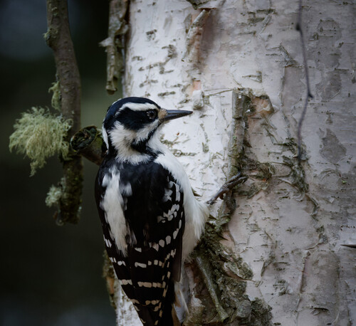
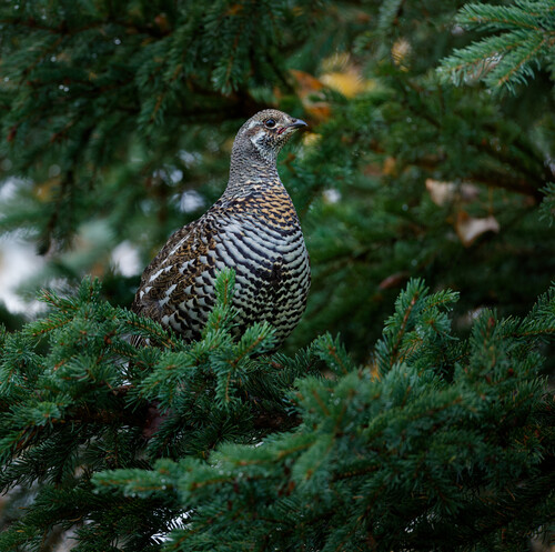
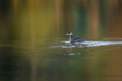
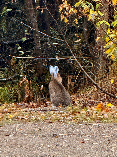
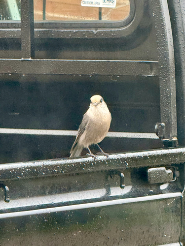
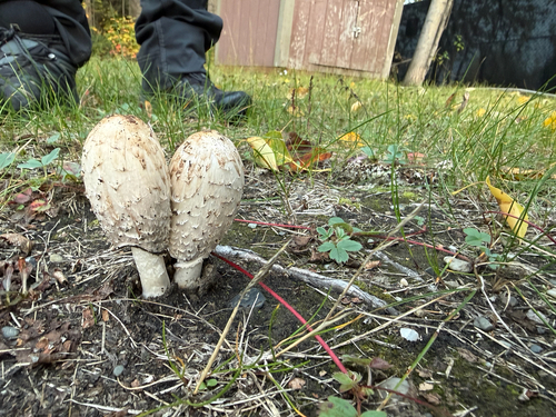
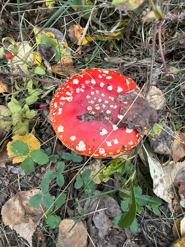
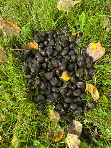
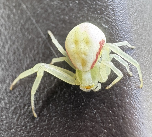
Research-grade observations from iNaturalist (within ~15 mi).
Nearest stream gauge
Live readings from USGS NWIS · measured 2026-10-05 16:00 UTC.
Events
Gallery
Sources
- • Wikipedia
- • US Census Bureau (ACS 5-year estimates)
- • NOAA National Weather Service
- • Wikidata
- • Open-Meteo Air Quality (CAMS)
- • USGS Earthquake Catalog (global feed)
- • USGS NWIS (water data)
- • NCES via Urban Institute Education Data Portal
- • GBIF (Global Biodiversity Information Facility)
- • iNaturalist
- • CDC PLACES
- • Open-Meteo / sunrise-sunset.org
- • Wikipedia Pageviews API
- • Open Library
- • NASA EONET