Browse / United States / Arkansas / Armorel
Armorel
ArkansasCDP
Total population
345
Median home value
$210,500
Bachelor's+
Median income
$137,917
Air quality index
Demographic figures from US Census Bureau · ACS 5-year estimates. Overview below cites Wikipedia and may reference a different year.
City facts
Overview
Armorel is an unincorporated community and census-designated place (CDP) in Mississippi County, Arkansas, United States. As of the 2020 census, it had a population of 312. It is in a largely rural area with most of its land devoted to forests and farms. Most of the town lies between Arkansas highways 18 and 312. The town's name was formed from the abbreviations of Arkansas and Missouri, along with the first three initials of its founder, Wilson.
Read more on WikipediaHistory & geography
History
The town was founded in 1899 by lumber magnate and president of Lee Wilson and Company, R.E.L. Wilson as one of his many company holdings. By 1900, he was operating one of his companies, the Beall Lumber Company, in the community. The lumber mill and nearly three million feet of cut lumber later burned to the ground on June 10, 1902. By 1904, the community received a rail connection when the Chickasawba Railroad completed its line from Blytheville to Barfield Landing on the Mississippi River. This line was soon after consolidated into the Jonesboro, Lake City, and Eastern Railroad. In 1924, the community of Armorel hosted a division of Marcus Garvey's Universal Negro Improvement Association.
Excerpted from the corresponding Wikipedia article (CC BY-SA).
Demographics & economy
Race & ethnicity
Source: US Census Bureau — American Community Survey, 5-year estimates.
Geography
Coordinates & boundaries from the US Census TIGER/Line shapefiles.
Climate
10-year averages from ERA5 reanalysis (Open-Meteo).
Current forecast
Forecast for Armorel, AR from NOAA NWS API.
Air quality
Current readings from Open-Meteo Air Quality API (Copernicus CAMS European reanalysis).
Industrial & pollution facilities
Natural hazard risk
Health (adults)
Age-adjusted prevalence estimates from CDC PLACES (latest release).
Walkability
Amenities nearby
Wildlife & biodiversity
Most-observed species
- Red-winged BlackbirdAgelaius phoeniceus (Linnaeus, 1766) · Aves218
- Northern CardinalCardinalis cardinalis (Linnaeus, 1758) · Aves205
- European StarlingSturnus vulgaris Linnaeus, 1758 · Aves178
- Red-tailed HawkButeo jamaicensis (Gmelin, 1788) · Aves156
- Common GrackleQuiscalus quiscula (Linnaeus, 1758) · Aves156
- Tufted TitmouseBaeolophus bicolor (Linnaeus, 1766) · Aves154
- Indigo BuntingPasserina cyanea (Linnaeus, 1766) · Aves153
- KilldeerCharadrius vociferus Linnaeus, 1758 · Aves152
Citizen-science & research observations from the Global Biodiversity Information Facility (GBIF).
Schools
Earthquake history
Most recent
- M 2.63 — 2026-08-046 km ENE of Steele, Missouri
- M 2.64 — 2026-05-158 km NW of Tiptonville, Tennessee
- M 4 — 2026-04-231 km WNW of Cooter, Missouri
- M 2.84 — 2026-03-023 km NW of Marston, Missouri
- M 2.52 — 2025-12-3012 km WNW of Newbern, Tennessee
- M 2.59 — 2025-12-031 km NNW of Cooter, Missouri
Events from the USGS Earthquake Catalog (global) (FDSN Event Web Service).
Photos
Sights & places nearby
Notable people from here
Nearby places in Arkansas
Geography & sun
Elevation, sunrise/sunset and daylight from Open-Meteo. Solar climatology from NASA POWER.
Nearby airports
Public attention
Pageview totals from the Wikimedia Pageviews API.
Books about Armorel
Search results from Open Library.
Recent natural events nearby
- Wildfire Bunker Fire, Calhoun, ArkansasWildfires · 2026-09-15 · 227 mi
- Wildfire Bunker Fire, Calhoun, ArkansasWildfires · 2026-09-14 · 227 mi
- Wildfire Pine Tree Rd, Union, ArkansasWildfires · 2026-08-20 · 245 mi
- Wildfire Round Prarie, Morehouse, LouisianaWildfires · 2026-09-20 · 246 mi
Wildfires, storms and other events from NASA EONET (last 12 months, within 250 mi).
Ground air-quality sensors
Recently spotted species
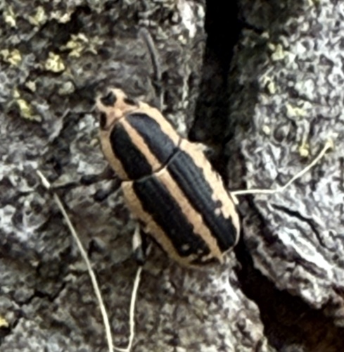
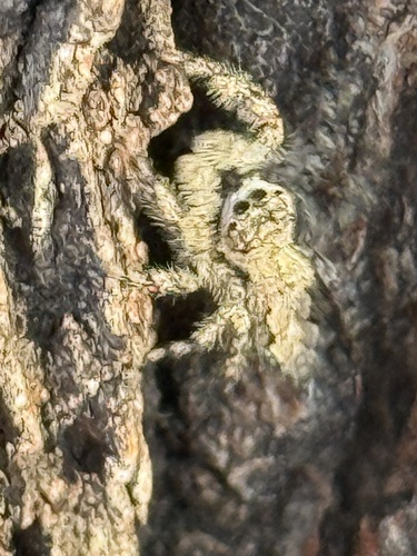
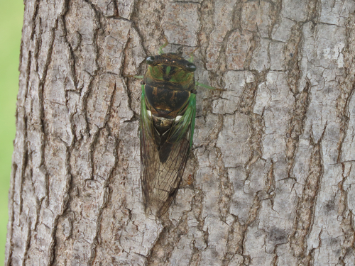
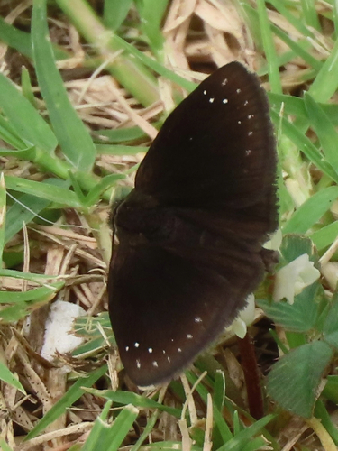
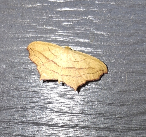
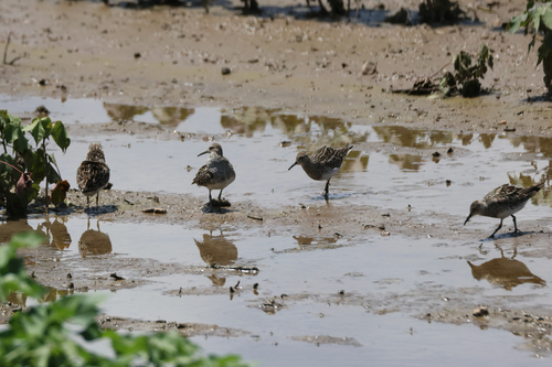
Research-grade observations from iNaturalist (within ~15 mi).
Nearest stream gauge
Live readings from USGS NWIS · measured 2026-09-10 17:00 UTC.
Events
Gallery
Sources
- • Wikipedia
- • US Census Bureau (ACS 5-year estimates)
- • Open-Meteo (ERA5 reanalysis)
- • NOAA National Weather Service
- • Wikidata
- • Open-Meteo Air Quality (CAMS)
- • USGS Earthquake Catalog (global feed)
- • USGS NWIS (water data)
- • GBIF (Global Biodiversity Information Facility)
- • iNaturalist
- • CDC PLACES
- • Open-Meteo / sunrise-sunset.org
- • Wikipedia Pageviews API
- • Open Library
- • NASA EONET