Browse / Austria / Tyrol / Oberellbögen
Oberellbögen
Tyrolvillage

Oberellbögen
Air quality index
Demographic figures from Statistik Austria. Overview below cites Wikipedia and may reference a different year.
City facts
Overview
Ellbögen is a community in the district of Innsbruck Land and lies 12 km south of Innsbruck. It is a scattered village located on the eastern valley side of the Wipptal.
Read more on WikipediaHistory & geography
Geography
Coordinates & boundaries from the US Census TIGER/Line shapefiles.
Climate
10-year averages from ERA5 reanalysis (Open-Meteo).
Air quality
Current readings from Open-Meteo Air Quality API (Copernicus CAMS European reanalysis).
Walkability
Amenities nearby
Wildlife & biodiversity
Most-observed species
- Narrow-leaved RagwortSenecio inaequidens DC. · Magnoliopsida3,506
- Eurasian BlackbirdTurdus merula Linnaeus, 1758 · Aves2,764
- Carrion CrowCorvus corone Linnaeus, 1758 · Aves2,434
- Great TitParus major Linnaeus, 1758 · Aves1,990
- Common ChaffinchFringilla coelebs Linnaeus, 1758 · Aves1,976
- Asian tiger mosquito, Forest day mosquitoAedes albopictus (Skuse, 1894) · Insecta1,969
- Tree Hole MosquitoAedes geniculatus (Olivier, 1791) · Insecta1,945
- Asian bush mosquitoAedes japonicus (Theobald, 1901) · Insecta1,918
Citizen-science & research observations from the Global Biodiversity Information Facility (GBIF).
Earthquake history
Most recent
- M 2.5 — 2021-10-035 km NNE of Silandro, Italy
- M 3.7 — 2021-08-161 km S of Niederau, Austria
- M 3.6 — 2020-08-085 km SE of Gramais, Austria
- M 3.8 — 2019-10-224 km SE of Ebbs, Austria
- M 2.5 — 2017-11-203 km SE of Medraz, Austria
- M 3.5 — 2017-11-032 km N of Telfes im Stubai, Austria
Events from the USGS Earthquake Catalog (global) (FDSN Event Web Service).
Photos
Sights & places nearby
Notable people from here
Nearby places in Tyrol
- Schöfens2.4 mi away
- Außerweg3.3 mi away
- Unterweg3.9 mi away
- Navis4.3 mi away · pop. 1,923
- Mauern4.9 mi away · pop. 553
- Medraz6 mi away · pop. 1,053
- Kampl6.7 mi away
- St. Jodok am Brenner7.4 mi away
- Schmirn7.7 mi away · pop. 892
- Neustift im Stubaital8.4 mi away · pop. 4,600
- Gries am Brenner9 mi away · pop. 1,260
- Volders9.5 mi away · pop. 4,547
Geography & sun
Elevation, sunrise/sunset and daylight from Open-Meteo. Solar climatology from NASA POWER.
Nearby airports
Public attention
Pageview totals from the Wikimedia Pageviews API.
Books about this place
Recent natural events nearby
Ground air-quality sensors
Recently spotted species
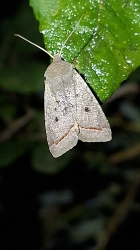
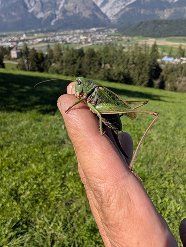
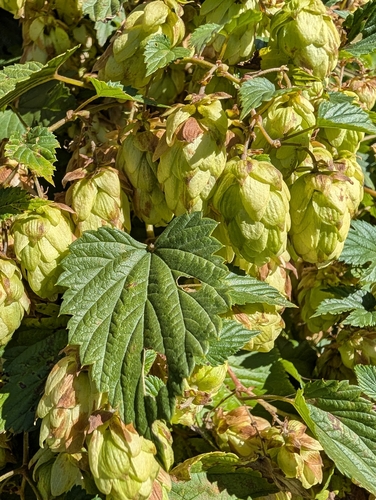
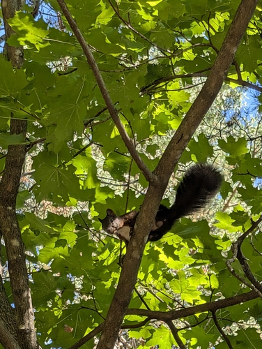
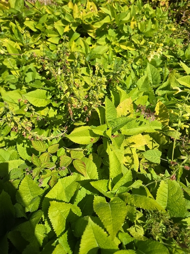
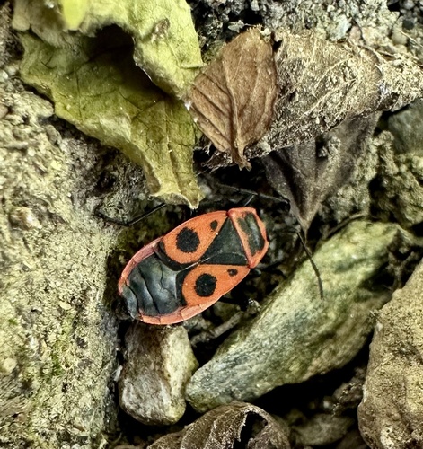
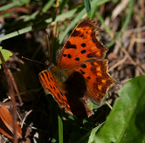
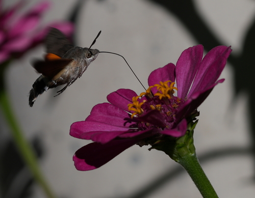
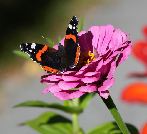
Research-grade observations from iNaturalist (within ~15 mi).
Events
Gallery
Sources
- • Wikipedia
- • Open-Meteo (ERA5 reanalysis)
- • Open-Meteo Air Quality (CAMS)
- • USGS Earthquake Catalog (global feed)
- • GBIF (Global Biodiversity Information Facility)
- • iNaturalist
- • Open-Elevation
- • Open-Meteo / sunrise-sunset.org
- • Wikipedia Pageviews API