Browse / Australia / Victoria / Avoca
Avoca
Victoriatown

Avoca
Total population
1,129
Demographic figures from Australian Bureau of Statistics. Overview below cites Wikipedia and may reference a different year.
City facts
Facts from Wikidata (CC0).
Overview
Avoca is a town in the Central Highlands of Victoria, Australia, 71 kilometres (44 mi) north west of Ballarat. It is one of two main towns in the Pyrenees Shire, the other being Beaufort to the south.
Read more on WikipediaHistory & geography
History
The explorer and surveyor Thomas Mitchell was the first European recorded to have travelled through the Avoca district. He found the area more temperate in climate and better watered than inland New South Wales, and he encouraged settlers to take up land in what he described as "Australia Felix". The Blood Hole massacre occurred at Middle Creek, near Glengower at the end of 1839 or early 1840 killing an unknown number of Dja Dja Wurrung people. By 1850 there were several large sheep runs, and pastoral settlement was well established. Like Ballarat and many other Victorian towns, Avoca sprang into being suddenly in the 1850s with the discovery of gold. Gold was first found in Victoria in 1849 in the Pyrenees Ranges near Avoca. But it was not for another two years that the first discovery of any importance took place. In 1851 a shepherd called James Esmond found gold at Clunes, from present-day Avoca, setting off a gold rush to the region. In 1853 gold was found at Four Mile Flat, near Avoca, and the main lead at Avoca itself was opened up a few months later. By the beginning of December 1853, the population had increased from 100 to 2,200, and by June the following year, Avoca, with a population of 16,000, was regarded as one of Victoria's more important gold rush districts. With a Court, a police station, Post Office (opened 1 September 1854), gold wardens, churches, and schools, Avoca had established itself as an administrative centre. This was a crucial development in its survival as a town, for when the gold miners left their Avoca claims to travel to the new Dunolly rush in 1856, Avoca continued to serve as the focus of the region's commercial and administrative life. With the Lamplough rush in 1859, miners returned to the Avoca district, and in that year…
Geography
The town stands in the gently undulating basin of the Avoca River, which rises in the Pyrenees Ranges to the west. To the south, the region is bounded by low hills of the Great Dividing Range; eastwards, the basin ends in a dry forested rise; to the north the Avoca River runs slowly through the plains of the Wimmera before joining Lake Bael Bael and the lake and swamps just south of the Murray. The town and river were named after Avoca, the village and River Avoca in County Wicklow, Ireland. The region takes in an area of about , and includes the towns of Redbank, Natte Yallock, Rathscar, Bung Bong, Lamplough, Amphitheatre, Percydale, Moonambel, and Warrenmang. A few miles to the northeast, bare paddocks mark the site of Homebush, once a flourishing mining village. Avoca has many small businesses servicing the local community including a pub, several cafes, a chemist, convenience store, a butcher, a supermarket, its own newspaper (Pyrenees Advocate) and a community bank. Since the 1970s, the wine industry has grown to be one of the most significant economic drivers and the sector is now the largest employer in the region and has increased tourism.
Excerpted from the corresponding Wikipedia article (CC BY-SA).
Geography
Coordinates & boundaries from the US Census TIGER/Line shapefiles.
Climate
Air quality
Walkability
Amenities nearby
Wildlife & biodiversity
Most-observed species
- Australian MagpieGymnorhina tibicen (Latham, 1802) · Aves405
- Sulphur-crested CockatooCacatua galerita (Latham, 1790) · Aves315
- Superb FairywrenMalurus cyaneus (Ellis, 1782) · Aves314
- Red WattlebirdAnthochaera carunculata (Shaw, 1790) · Aves294
- Gray ShrikethrushColluricincla harmonica (Latham, 1802) · Aves285
- Crimson RosellaPlatycercus elegans (Gmelin, 1788) · Aves266
- White-plumed HoneyeaterPtilotula penicillata (Gould, 1837) · Aves227
- GalahEolophus roseicapilla (Vieillot, 1817) · Aves226
Citizen-science & research observations from the Global Biodiversity Information Facility (GBIF).
Earthquake history
Most recent
- M 2.7 — 2007-12-0938 km SE of Charlton, Australia
- M 2.8 — 2003-02-029 km N of Trentham, Australia
Events from the USGS Earthquake Catalog (global) (FDSN Event Web Service).
Photos
Sights & places nearby
Notable people from here


People born within ~10 km, from Wikidata (CC0). Click any name for their Wikipedia article.
Nearby places in Victoria
- Caralulup12 mi away
- Redbank13.1 mi away · pop. 94
- Bowenvale14.8 mi away · pop. 92
- Archdale17.9 mi away
- Eversley17.9 mi away
- Majorca18 mi away · pop. 86
- Carisbrook19 mi away · pop. 920
- Landsborough19.6 mi away · pop. 74
- Bromley21.2 mi away
- Langi Kal Kal21.9 mi away
- Bayindeen23.3 mi away
- Landsborough West23.6 mi away
Geography & sun
Elevation, sunrise/sunset and daylight from Open-Meteo. Solar climatology from NASA POWER.
Nearby airports
Public attention
Pageview totals from the Wikimedia Pageviews API.
Books about this place
Recent natural events nearby
Ground air-quality sensors
Recently spotted species
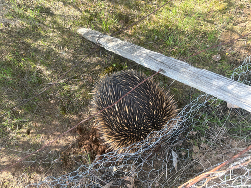
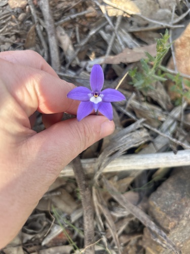
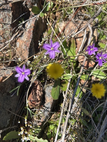
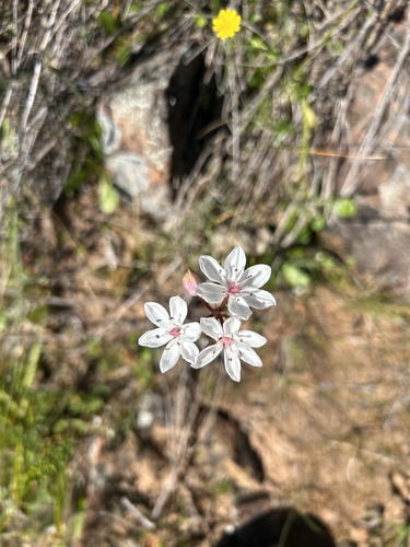
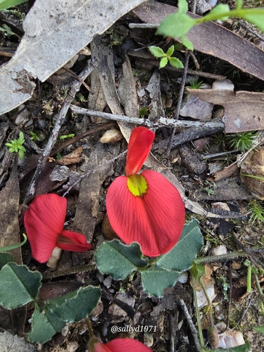
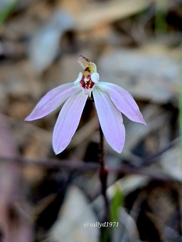
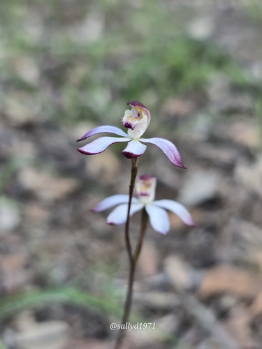
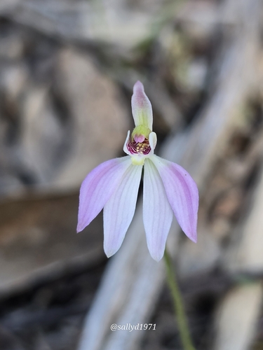
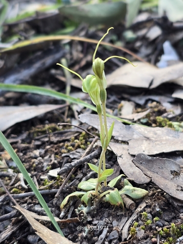
Research-grade observations from iNaturalist (within ~15 mi).
Events
Gallery
Sources
- • Wikipedia
- • Wikidata
- • USGS Earthquake Catalog (global feed)
- • GBIF (Global Biodiversity Information Facility)
- • iNaturalist
- • Open-Meteo / sunrise-sunset.org
- • Wikipedia Pageviews API