Browse / Australia / Victoria / Ballarat
Ballarat
Victoriacity

Ballarat
Total population
105,348
Founded
1838
Air quality index
Demographic figures from Australian Bureau of Statistics. Overview below cites Wikipedia and may reference a different year.
City facts
Sister cities
- Ainaro
Facts from Wikidata (CC0).
Overview
Ballarat is a city in the Central Highlands of Victoria, Australia. At the 2021 census, it had a population of 111,973, making it the third-largest urban inland city in Australia and the third-largest city in Victoria.
Read more on WikipediaHistory & geography
History
The Ballarat region was first populated by the Wadawurrung people, an Indigenous Australian people. The first Europeans to sight the area were an August 1837 party of six men, including Thomas Livingstone Learmonth and Henry Anderson, who scaled Mount Buninyong. Some of this party set off again in January 1838, this time with others including Thomas' brother Somerville Learmonth and William Cross Yuille and his cousin Archibald Buchanan Yuille. The Yuille cousins arrived in 1838 and took up a sheep run at Ballarat. The first houses were built near Woolshed Creek (Sebastopol) by Henry Anderson and taken over by the Yuilles. William Yuille established a hut on the northern edge of the swamp which would be called Yuille's Swamp, later Lake Wendouree. Archibald Yuille named his property "Ballaarat", from the local Wathaurong Aboriginal words, balla and arat, meaning a camping or 'resting place', with the word 'balla' meaning bent elbow. Both 'Ballaarat' and 'Ballarat' were used interchangeably until the present spelling was officially adopted by the City of Ballarat in 1994, when the city amalgamated with surrounding local government areas. The first publicised discovery of gold in the region was by Thomas Hiscock on 2 August 1851, in Buninyong to the south. The find brought other prospectors to the area and on 19 August 1851, more gold was found at Poverty Point. Within days, a gold rush began, bringing thousands of prospectors to the Yarrowee Valley, which became known as the Ballarat diggings. Yields were particularly high, with the first prospectors in the area extracting between half an ounce (which was more than the average wage of the time) and up to five ounces of alluvial gold per day. As news of the Victorian gold rush reached the world, Ballarat gained an…
Geography
Ballarat lies at the foothills of the Great Dividing Range in Central Western Victoria. Also known as the Central Highlands, it is named so because of its elevated position and moderate hills and terrain with a lack of any alpine mountains that are situated a few hundred kilometres NE. The city lies within a mostly gently undulating section of the midland volcanic plains which stretch from Creswick in the north, to Rokewood in the south, and from Lal Lal in the south-east to Pittong in the west. Geologically, the area consists of alluvial sediment and volcanic flows originating from now-extinct volcanoes such as nearby Buninyong (750m, 2460 ft) and Warrenheip (746m, 2446 ft), which are the area's tallest peaks. As a result, the basin contains large areas of fertile agricultural soil. Ballarat itself is situated on an alluvial basin of the Yarrowee catchment and its tributary creeks, penetrated by sub-ranges of schists composed of granites and quartz. Along with the visible river and creeks, the catchment basin has numerous active and inactive aquifers and natural wetlands, which are used for urban water supply, agriculture and recreation. There are numerous densely forested areas around Ballarat; however, due to historic wood milling and land clearing there remain no old-growth forests. The major natural bodies of water are in the west and include the former shallow swamps of Lake Wendouree which is central to the city's western suburbs and beyond Winter's Swamp and the large Lake Burrumbeet wetland complex. Almost all of the other numerous bodies of water have been created artificially and include several reservoirs, the largest being the White Swan Reservoir and smaller suburban lakes such as Lake Esmond. The contiguous urban area of Ballarat covers…
Excerpted from the corresponding Wikipedia article (CC BY-SA).
Geography
Coordinates & boundaries from the US Census TIGER/Line shapefiles.
Climate
Air quality
Current readings from Open-Meteo Air Quality API (Copernicus CAMS European reanalysis).
Walkability
Amenities nearby
Wildlife & biodiversity
Most-observed species
- Australian MagpieGymnorhina tibicen (Latham, 1802) · Aves7,173
- Little RavenCorvus mellori Mathews, 1912 · Aves6,148
- Magpie-larkGrallina cyanoleuca (Latham, 1802) · Aves5,973
- Pacific Black DuckAnas superciliosa J.F.Gmelin, 1789 · Aves5,917
- Red WattlebirdAnthochaera carunculata (Shaw, 1790) · Aves5,810
- Black SwanCygnus atratus (Latham, 1790) · Aves5,325
- Eurasian CootFulica atra Linnaeus, 1758 · Aves5,096
- Superb FairywrenMalurus cyaneus (Ellis, 1782) · Aves4,909
Citizen-science & research observations from the Global Biodiversity Information Facility (GBIF).
Earthquake history
Most recent
- M 3.8 — 2023-05-285 km W of Mickleham, Australia
- M 3.1 — 2013-05-017 km NW of Clifton Springs, Australia
- M 3 — 2010-03-304 km NNE of Portarlington, Australia
- M 2.8 — 2003-02-029 km N of Trentham, Australia
- M 2.7 — 2001-12-3110 km SW of Kilmore, Australia
Events from the USGS Earthquake Catalog (global) (FDSN Event Web Service).
Photos
Sights & places nearby
Notable people from here


People born within ~10 km, from Wikidata (CC0). Click any name for their Wikipedia article.
Nearby places in Victoria
- Leigh Creek5.4 mi away
- Buninyong6.2 mi away
- Bungaree7.5 mi away
- Napoleons8.3 mi away · pop. 550
- Wallace10.4 mi away
- Learmonth12.4 mi away · pop. 272
- Newlyn12.5 mi away
- Burrumbeet12.9 mi away
- Gordon13.6 mi away · pop. 607
- Allendale13.7 mi away · pop. 144
- Kingston14 mi away · pop. 103
- Snake Valley15.5 mi away · pop. 325
Geography & sun
Elevation, sunrise/sunset and daylight from Open-Meteo. Solar climatology from NASA POWER.
Nearby airports
Public attention
Pageview totals from the Wikimedia Pageviews API.
Books about Ballarat
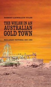
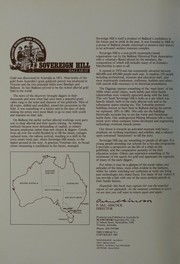
Search results from Open Library.
Recent natural events nearby
Ground air-quality sensors
Recently spotted species
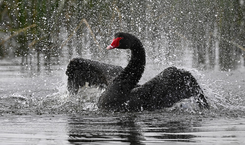
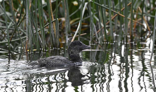
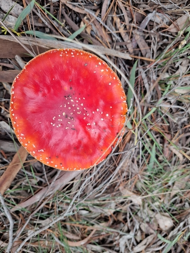
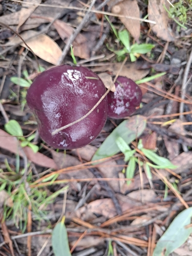
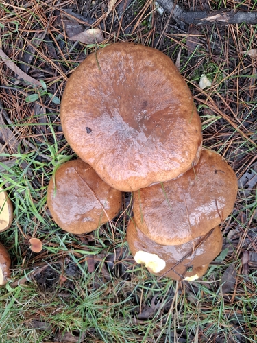
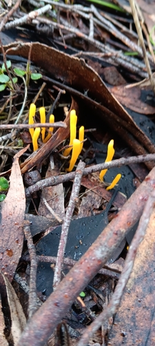
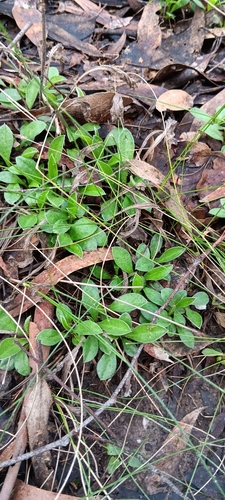
Research-grade observations from iNaturalist (within ~15 mi).
Events
Gallery
Geotagged photos within ~6 miles of Ballarat, from Wikimedia Commons contributors.
_(24285228878).jpg) 0 mi
0 mi.jpg) 0 mi
0 mi 0.1 mi
 0.1 mi
 0.1 mi
 0.1 mi
 0.1 mi
 0.1 mi
 0.1 mi
.jpg) 0.1 mi
0.1 mi 0.1 mi
_(38137409051).jpg) 0.1 mi
0.1 mi.jpg) 0.1 mi
0.1 mi 0.1 mi
 0.2 mi
 0.2 mi
 0.2 mi
 0.2 mi
 0.2 mi
 0.2 mi
 0.2 mi
 0.2 mi
 0.2 mi
 0.2 mi
Photos via Wikimedia Commons — see each image page for license & attribution.
Sources
- • Wikipedia
- • Wikimedia Commons
- • Wikidata
- • Open-Meteo Air Quality (CAMS)
- • USGS Earthquake Catalog (global feed)
- • GBIF (Global Biodiversity Information Facility)
- • iNaturalist
- • Open-Meteo / sunrise-sunset.org
- • Wikipedia Pageviews API
- • Open Library