Browse / Australia / Victoria / Learmonth
Learmonth
Victoriavillage

Learmonth
Total population
272
Air quality index
Demographic figures from Australian Bureau of Statistics. Overview below cites Wikipedia and may reference a different year.
City facts
Overview
Learmonth is a town, located in Central Victoria, Australia, 136 kilometres (85 mi) west of the state capital Melbourne, and 23 kilometres north west of the regional city centre of Ballarat. Learmonth is located on the Sunraysia Highway, on the road to Avoca, St Arnaud and the Pyrenees wine region, and is surrounded by an agricultural, pastoral and dairy region. At the 2021 census, Learmonth had a population of 396.
Read more on WikipediaHistory & geography
History
The township was first established in 1837. It was the original local government office headquarters of the Shire of Ballarat. Lake Learmonth Post Office opened on 13 February 1858 and was renamed Learmonth in 1860. The town was named in reference to its position beside Lake Learmonth, which itself was named after the brothers Thomas Livingston Learmonth and Somerville Learmonth who squatted in the area in 1838. In November 1859, Thomas Learmonth made a donation towards building a church in the town: Thomas Learmonth, Esq., of Ercildoun, with his usual liberality has contributed £20 towards the erection of a Church of England place of worship at Lake Learmonth.One Learmonth brother in particular, was implicitly aware his shepherds were using skulls of Wadawurrung people on stakes to ward people off his property.
Excerpted from the corresponding Wikipedia article (CC BY-SA).
Geography
Coordinates & boundaries from the US Census TIGER/Line shapefiles.
Climate
10-year averages from ERA5 reanalysis (Open-Meteo).
Air quality
Current readings from Open-Meteo Air Quality API (Copernicus CAMS European reanalysis).
Walkability
Amenities nearby
Wildlife & biodiversity
Most-observed species
- Magpie-larkGrallina cyanoleuca (Latham, 1802) · Aves5,629
- Black SwanCygnus atratus (Latham, 1790) · Aves5,243
- Australian MagpieGymnorhina tibicen (Latham, 1802) · Aves5,222
- Pacific Black DuckAnas superciliosa J.F.Gmelin, 1789 · Aves5,073
- Eurasian CootFulica atra Linnaeus, 1758 · Aves4,778
- Dusky MoorhenGallinula tenebrosa Gould, 1846 · Aves4,629
- Little RavenCorvus mellori Mathews, 1912 · Aves4,579
- Red WattlebirdAnthochaera carunculata (Shaw, 1790) · Aves4,368
Citizen-science & research observations from the Global Biodiversity Information Facility (GBIF).
Earthquake history
Most recent
- M 3.8 — 2023-05-285 km W of Mickleham, Australia
- M 2.8 — 2003-02-029 km N of Trentham, Australia
Events from the USGS Earthquake Catalog (global) (FDSN Event Web Service).
Photos
Sights & places nearby
Notable people from here


People born within ~10 km, from Wikidata (CC0). Click any name for their Wikipedia article.
Nearby places in Victoria
- Burrumbeet4.8 mi away
- Broomfield10.9 mi away
- Allendale11.8 mi away · pop. 144
- Ballarat12.4 mi away · pop. 105,348
- Langi Kal Kal12.8 mi away
- Kingston13.5 mi away · pop. 103
- Newlyn14.7 mi away
- Snake Valley14.9 mi away · pop. 325
- Caralulup15.9 mi away
- Leigh Creek16.1 mi away
- Rutherford Park16.5 mi away
- Bungaree17.9 mi away
Geography & sun
Elevation, sunrise/sunset and daylight from Open-Meteo. Solar climatology from NASA POWER.
Nearby airports
Public attention
Pageview totals from the Wikimedia Pageviews API.
Books about Learmonth
Search results from Open Library.
Recent natural events nearby
Ground air-quality sensors
Recently spotted species
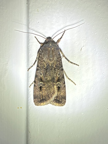
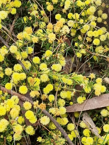
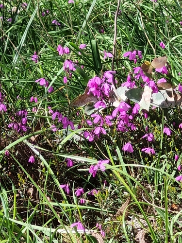
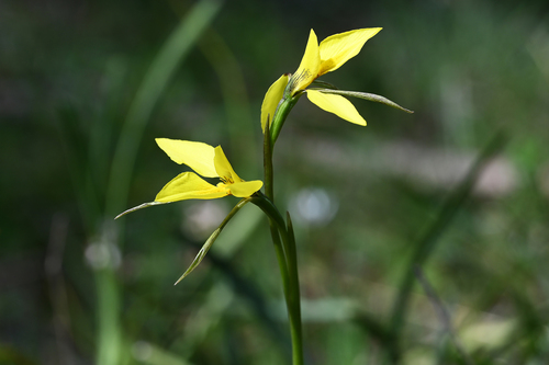
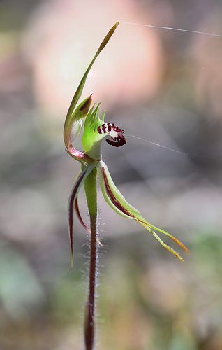
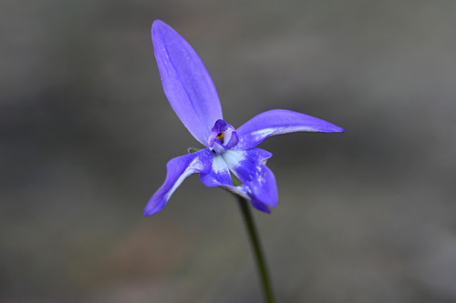
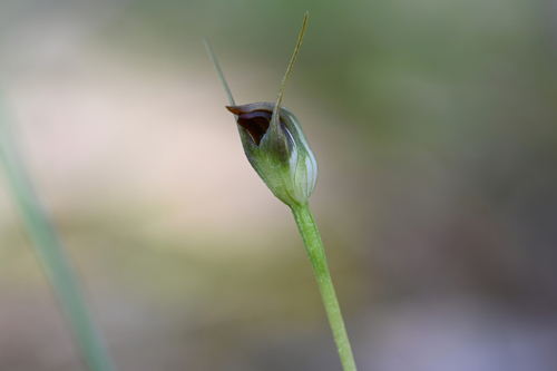
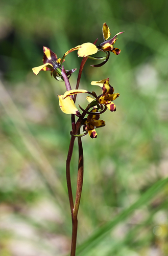
Research-grade observations from iNaturalist (within ~15 mi).
Events
Gallery
Sources
- • Wikipedia
- • Open-Meteo (ERA5 reanalysis)
- • Wikidata
- • Open-Meteo Air Quality (CAMS)
- • USGS Earthquake Catalog (global feed)
- • GBIF (Global Biodiversity Information Facility)
- • iNaturalist
- • Open-Elevation
- • Open-Meteo / sunrise-sunset.org
- • Wikipedia Pageviews API
- • Open Library