Browse / Australia / Queensland / Beechmont
Beechmont
Queenslandhamlet

Beechmont
Total population
791
Demographic figures from Australian Bureau of Statistics. Overview below cites Wikipedia and may reference a different year.
City facts
Overview
Beechmont is a rural town and locality in the Scenic Rim Region, Queensland, Australia. In the 2021 census, the locality of Beechmont had a population of 848 people.
Read more on WikipediaHistory & geography
History
The Beechmont district was occupied by the Yugambeh people before the arrival of European timber cutters in the 1880s. The district takes its current name from the white beech trees in the area. The Beechmont State School opened on 15 August 1904. Fruit such as apples were grown in the 1910s in the rich Beech Mountain soils of the area, but were halted due to fruit fly infestations. St John's Presbyterian Church opened on Sunday 21 February 1932 with a service commencing conducted by Reverend Alexander Duff. It was the first church in Beechmont and part of the Southport parish. Following the closure of the church in 1980, the memorial windows were removed and on 25 April (Anzac Day) 1998 the windows were unveiled in a memorial gazebo at Graceleigh Park in Beechmont Road () adjacent to the Beechmont War Memorial. The church is now used for holiday accommodation. The tourism potential of Beechmont was realised in 1910 as one of the motivations to build a railway line to Canungra, which led to the Queensland Government deciding in 1911 to construct the Canungra branch line from Logan Village railway station on the South Coast railway line to Canungra. Construction began in 1913 and the line opened to Canungra railway station on 2 July 1915. A dairying property located near Beechmont on the Nerang River was advertised to be sold by auction 23 November 1920 by Cameron Brothers auctioneers. The plan shows the land for sale, 858 acres, being subdivision 2 of portion 106, Parish of Gilston, on Beech Mountain, facing the present Binna Burra Road, within 13 miles of Nerang Township. From the 1920s, the area became known as a mountain tourist destination. In July 1936, Dr John Bradfield, the designer of the Story Bridge in Brisbane and the Sydney Harbour Bridge was forced…
Geography
Beechmont is positioned on a forested ridge leading from the Lamington Plateau to Tamborine Mountain. Outstanding views in nearly all directions means that on a clear day Cunninghams Gap and other Scenic Rim landforms are visible as well as Flinders Peak, Moogerah Peaks and the D'Aguilar Range to the north west of Brisbane. To the north west of Beechmont sits the locality of Lower Beechmont and to the south is Binna Burra. Roads in the area are narrow and windy, some are prone to rockfalls and some with very steep slopes. The road to Binna Burra Lodge and access to Lamington National Park goes through Beechmont. The is a popular launch site for hangliders and paragliders. Beechmont has the following named peaks: * The Summit in the south of the locality () at above sea level * Warples Hill in the south-east of the locality () at above sea level Killarney Falls is a waterfall on Back Creek in the north of the locality ().
Excerpted from the corresponding Wikipedia article (CC BY-SA).
Geography
Coordinates & boundaries from the US Census TIGER/Line shapefiles.
Climate
Air quality
Walkability
Amenities nearby
Wildlife & biodiversity
Most-observed species
- Lewin's HoneyeaterMeliphaga lewinii (Swainson, 1837) · Aves8,530
- Eastern WhipbirdPsophodes olivaceus (Latham, 1802) · Aves8,362
- Pied CurrawongStrepera graculina (Shaw, 1790) · Aves7,523
- Eastern Yellow RobinEopsaltria australis (Shaw, 1790) · Aves7,181
- Crimson RosellaPlatycercus elegans (Gmelin, 1788) · Aves6,621
- Australian King-ParrotAlisterus scapularis (Lichtenstein, 1816) · Aves6,592
- Australian BrushturkeyAlectura lathami J.E.Gray, 1831 · Aves6,092
- White-browed ScrubwrenSericornis frontalis (Vigors & Horsfield, 1827) · Aves5,887
Citizen-science & research observations from the Global Biodiversity Information Facility (GBIF).
Earthquake history
Events from the USGS Earthquake Catalog (global) (FDSN Event Web Service).
Photos
Sights & places nearby
Notable people from here
Nearby places in Queensland
- Springbrook6.2 mi away · pop. 206
- Canungra7.8 mi away · pop. 793
- Cryna14 mi away · pop. 134
- Lamington14.4 mi away
- Laravale16.1 mi away
- Wongawallan16.6 mi away
- Josephville18.4 mi away
- Currigee21.2 mi away · pop. 100
- Woodhill21.5 mi away · pop. 1,231
- Logan City33.8 mi away
- Point Talburpin34.3 mi away
- Roadvale34.3 mi away
Geography & sun
Elevation, sunrise/sunset and daylight from Open-Meteo. Solar climatology from NASA POWER.
Nearby airports
Public attention
Pageview totals from the Wikimedia Pageviews API.
Books about this place
Recent natural events nearby
Ground air-quality sensors
Recently spotted species
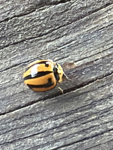
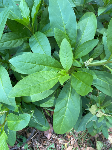
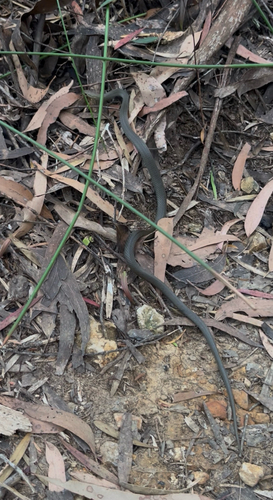
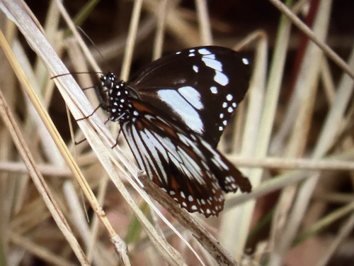
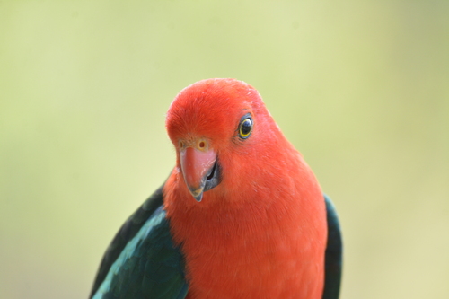
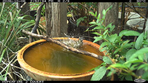
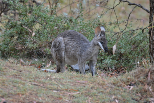
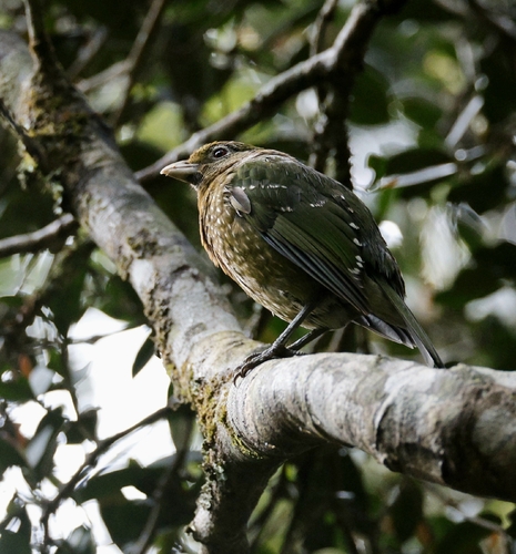
Research-grade observations from iNaturalist (within ~15 mi).
Events
Gallery
Sources
- • Wikipedia
- • Wikidata
- • USGS Earthquake Catalog (global feed)
- • GBIF (Global Biodiversity Information Facility)
- • iNaturalist
- • Open-Meteo / sunrise-sunset.org
- • Wikipedia Pageviews API