Browse / Australia / Queensland / Canungra
Canungra
Queenslandtown

Canungra
Total population
793
Air quality index
Demographic figures from Australian Bureau of Statistics. Overview below cites Wikipedia and may reference a different year.
City facts
Overview
Canungra is a rural town and locality in the Scenic Rim Region of South East Queensland, Australia. In the 2021 census, Canungra had a population of 1,436 people.
Read more on WikipediaHistory & geography
History
Nicknamed the "Valley of the Owls", one of the origins of the town's name comes from the Aboriginal word for small owls, "Caningera". The most notable owl found in the area is the Australian boobook owl, which appears in various logos and symbols associated with Canungra. However the word Cunungra comes from the Yugambeh word gungunga meaning "a long flat or clearing". Canungra owes its existence to the timber industry and once boasted one of the largest stands of timber in the colony. David Lahey, the father of Romeo Lahey, owned one of Queensland's largest sawmills at Canungra (Lahey's Canungra Sawmill). Canungera Upper Provisional School opened on 21 January 1889 for the children of settlers and sawmill workers. It operated in the School of Arts Hall on the western side of the creek. In 1899, following problems with the termites, the School of Arts Hall was relocated to its current site in Pine Street, where it continued to be used by the school for a short time until land in Finch Street was purchased from Mrs Duncan and the school relocated to that site. On 1 January 1909, it became Canungera Upper State School. In 1912, the name was changed to Canungra State School. In 1962, the school relocated to its present location, which was formerly occupied by the Franklin sawmill and the Canunga railway station and rail yards. In 1900, a Baptist church was opened in Canungra. Canungra Post Office was opened by May 1907 (a receiving office had been open from 1888 under the ownership of Mrs. John Duncan, known at first as Canningera Creek). From 2 July 1915 until 1 July 1955, the Canungra railway line ran from the Beaudesert line at Logan Village to Canungra railway station (). In 1916, the Lahey family built the Bellissima guest house. In 1927 it was sold and…
Geography
Located in South East Queensland, Canungra is situated in the Gold Coast hinterland, west of the Gold Coast and south of Brisbane. Mount Misery is on the north-western boundary of the locality with Biddadaba () rising to above sea level. Residents and businesses in Canungra get their water supply from the Canungra Creek, a tributary of the Albert River. The slopes around Canungra are steep and forested, with some cleared farmlands and rural homes in the flatter valley areas.
Excerpted from the corresponding Wikipedia article (CC BY-SA).
Geography
Coordinates & boundaries from the US Census TIGER/Line shapefiles.
Climate
Air quality
Current readings from Open-Meteo Air Quality API (Copernicus CAMS European reanalysis).
Walkability
Amenities nearby
Wildlife & biodiversity
Most-observed species
- Rainbow LorikeetTrichoglossus haematodus (Linnaeus, 1771) · Aves5,494
- Australian MagpieGymnorhina tibicen (Latham, 1802) · Aves4,892
- Noisy MinerManorina melanocephala (Latham, 1801) · Aves4,663
- Torresian CrowCorvus orru Bonaparte, 1850 · Aves4,579
- Sulphur-crested CockatooCacatua galerita (Latham, 1790) · Aves3,480
- Pied CurrawongStrepera graculina (Shaw, 1790) · Aves3,479
- Laughing KookaburraDacelo novaeguineae (Hermann, 1783) · Aves3,471
- Magpie-larkGrallina cyanoleuca (Latham, 1802) · Aves3,403
Citizen-science & research observations from the Global Biodiversity Information Facility (GBIF).
Earthquake history
Events from the USGS Earthquake Catalog (global) (FDSN Event Web Service).
Photos
Sights & places nearby
Notable people from here

People born within ~10 km, from Wikidata (CC0). Click any name for their Wikipedia article.
Nearby places in Queensland
- Beechmont7.8 mi away · pop. 791
- Wongawallan9.9 mi away
- Cryna11 mi away · pop. 134
- Springbrook13.5 mi away · pop. 206
- Laravale14.8 mi away
- Woodhill14.8 mi away · pop. 1,231
- Currigee17.8 mi away · pop. 100
- Logan City26.1 mi away
- Point Talburpin27.5 mi away
- Lamb Island30 mi away · pop. 504
- Roadvale30.1 mi away
- Peak Crossing31.1 mi away · pop. 498
Geography & sun
Elevation, sunrise/sunset and daylight from Open-Meteo. Solar climatology from NASA POWER.
Nearby airports
Public attention
Pageview totals from the Wikimedia Pageviews API.
Books about Canungra
Search results from Open Library.
Recent natural events nearby
Ground air-quality sensors
Recently spotted species
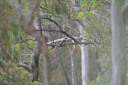
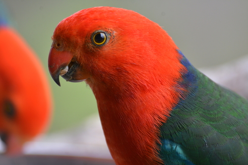
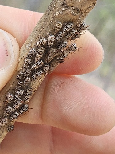
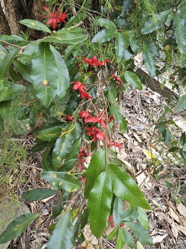
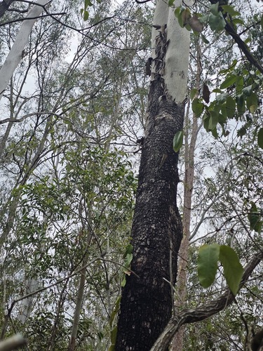
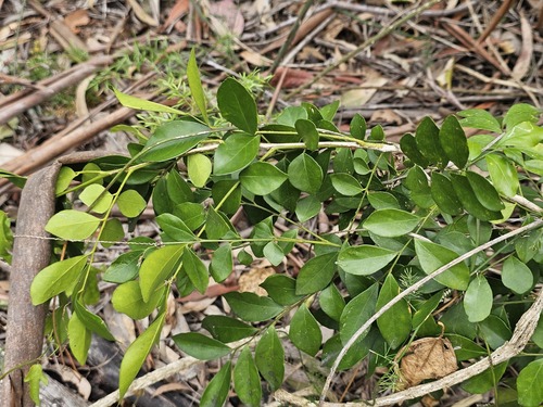
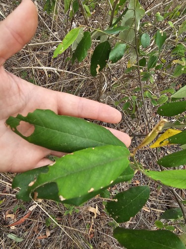
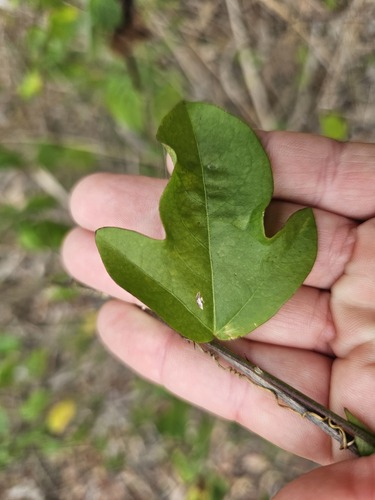
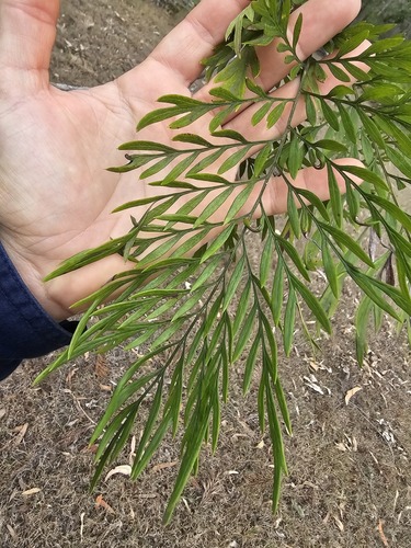
Research-grade observations from iNaturalist (within ~15 mi).
Events
Gallery
Sources
- • Wikipedia
- • Wikidata
- • Open-Meteo Air Quality (CAMS)
- • USGS Earthquake Catalog (global feed)
- • GBIF (Global Biodiversity Information Facility)
- • iNaturalist
- • Open-Meteo / sunrise-sunset.org
- • Wikipedia Pageviews API
- • Open Library