Browse / Australia / Queensland / Beerburrum
Beerburrum
Queenslandvillage

Beerburrum
Total population
487
Demographic figures from Australian Bureau of Statistics. Overview below cites Wikipedia and may reference a different year.
City facts
Facts from Wikidata (CC0).
Overview
Beerburrum is a rural town and coastal locality in the Sunshine Coast Region, Queensland, Australia. In the 2021 census, the locality of Beerburrum had a population of 941 people.
Read more on WikipediaHistory & geography
History
The name is derived from that of the mountain Beerburrum. In the language of the Indigenous Kabi nation, bir means green parrot and burru mountain. Thomas Martin Tripcony was one of the first European settlers to settle along the Pumicestone Passage (which separates the mainland from Bribie Island). In 1861 he selected coastal land on the mainland side of the passage between Hussey Creek () and Glass Mountain Creek () which he called Cowrie Bank. He made his living by lime burning and oystering there and at a number of locations in the passage, but in 1876 settled permanently at Cowrie Bank, building a family home (also called Cowrie Bank) in 1877. The North Coast line from Caboolture to Landsborough (which included a siding at Beerburrum) was completed on 1 February 1890. This opened up access to the district for settlement. A cemetery was established at Beerburrum circa 1908. It was officially closed in 1970 with about 12 graves still visible. Beerburrum Post Office opened by 1917 (a receiving office had been open from 1893). Beerburrum State School opened on 22 April 1918. The Beerburrum School of Arts was opened on Thursday 9 May 1918. It closed in 1931 following the failure of the settlement. St George's Anglican Church was dedicated on 20 August 1922 by Canon D.J. Garland. The building was originally built as a chapel at the Enoggera army barracks during World War I by the Soldiers' Church of England Help Society. Many of the furnishings and ornaments in the Enoggera barracks church were donated in memory of soldiers who had died, including the altar and its furnishings which were donated in the memory of Earl Kitchener. Due to the failure of the soldier settlement, the church fell into disuse. It was officially closed in August 1931, after which the…
Geography
The locality is north of the state capital, Brisbane. The Bruce Highway passes from south to north through the locality approximately east of the town. Beerburrum Road enters from the south and ends at an intersection with Steve Irwin Way which continues to the north. The North Coast railway line also passes from south to north through the locality which is served by Beerburrum railway station on the eastern edge of the town. The proposed Bruce Highway Western Alternative will have its northern entry point in Beerburrum. The locality is predominantly on the mainland but includes a number of undeveloped islands in the Pumicestone Passage between the mainland and Bribie Island. The named islands are Long Island () and Thooroola Island (known as Goat Island until 1981, ). The eastern part of the locality is low-lying land with many creeks which drain into the Pumicestone Passage. The western part of the locality is higher hillier land and includes two of the Glass House Mountains: Mount Beerburrum and Mount Tibberoowuccum, both of which are protected within the Glass House Mountains National Park. Beerburrum is a mountain () which rises to above sea level. Mount Tibberoowuccum () is composed of alkali rhyolite. It is high. The mountain is a dome-shaped rock surrounded by eucalypt open forest, as well as complex rainforest, although the area is not extensive. There is a small population of Narrow-leaf bitter-pea (Daviesia Mimosoides) present on the southern slope of the mountain. This shrub is widespread in Victoria and New South Wales, but rare in Queensland, and the Mount Tiberoocwuccum population is the most northerly known. Beerburrum has a warm humid subtropical climate (Köppen: Cfa) with hot, very wet summers and very mild, drier winters. The wettest…
Excerpted from the corresponding Wikipedia article (CC BY-SA).
Geography
Coordinates & boundaries from the US Census TIGER/Line shapefiles.
Climate
Air quality
Walkability
Amenities nearby
Wildlife & biodiversity
Most-observed species
- Rainbow LorikeetTrichoglossus haematodus (Linnaeus, 1771) · Aves4,967
- Masked LapwingVanellus miles (Boddaert, 1783) · Aves4,765
- Australian IbisThreskiornis molucca (Cuvier, 1829) · Aves4,581
- Australian MagpieGymnorhina tibicen (Latham, 1802) · Aves4,395
- Torresian CrowCorvus orru Bonaparte, 1850 · Aves4,110
- Welcome SwallowHirundo neoxena Gould, 1842 · Aves3,906
- Magpie-larkGrallina cyanoleuca (Latham, 1802) · Aves3,896
- Noisy MinerManorina melanocephala (Latham, 1801) · Aves3,854
Citizen-science & research observations from the Global Biodiversity Information Facility (GBIF).
Earthquake history
Events from the USGS Earthquake Catalog (global) (FDSN Event Web Service).
Photos
Sights & places nearby
Notable people from here
Nearby places in Queensland
Geography & sun
Elevation, sunrise/sunset and daylight from Open-Meteo. Solar climatology from NASA POWER.
Nearby airports
Public attention
Pageview totals from the Wikimedia Pageviews API.
Books about Beerburrum

Search results from Open Library.
Recent natural events nearby
Ground air-quality sensors
Recently spotted species
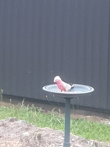
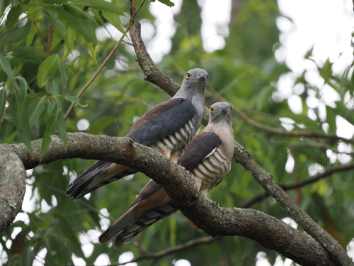
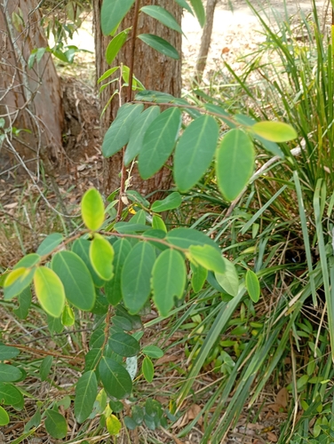
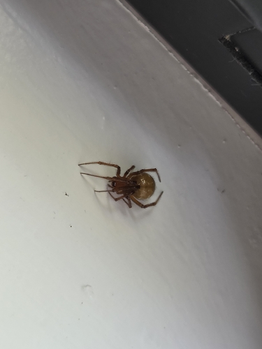
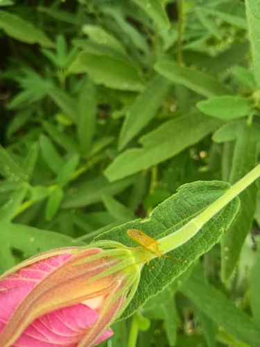
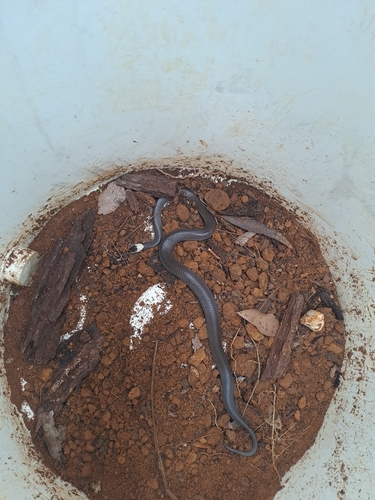
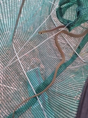
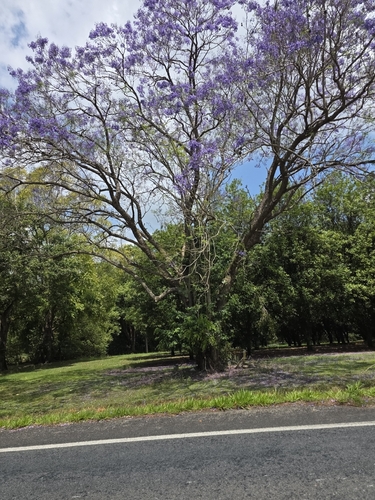
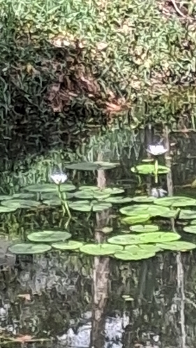
Research-grade observations from iNaturalist (within ~15 mi).
Events
Gallery
Sources
- • Wikipedia
- • Wikidata
- • USGS Earthquake Catalog (global feed)
- • GBIF (Global Biodiversity Information Facility)
- • iNaturalist
- • Open-Meteo / sunrise-sunset.org
- • Wikipedia Pageviews API
- • Open Library