Browse / Australia / Queensland / Peachester
Peachester
Queenslandtown

Peachester
Total population
534
Demographic figures from Australian Bureau of Statistics. Overview below cites Wikipedia and may reference a different year.
City facts
Overview
Peachester is a rural town and locality in the Sunshine Coast Region, Queensland, Australia. In the 2021 census, the locality of Peachester had a population of 1,460 people.
Read more on WikipediaHistory & geography
History
Peachester was named when the town was surveyed in 1888 by William Embury Hill. The name refers to a peach tree which was growing at the crossing of the Stanley River. Early industries included dairying, timber felling for Grigor's sawmill. On Wednesday 20 June 1906 the Venerable H. F. Le Fanu, Archdeacon of Toowoomba performed a stump capping ceremony for the new Anglican church. St Andrew's Anglican church was dedicated on 1 January 1908 by Archdeacon Le Fanu. The church was destroyed on New Year's Day 1 June 1963 by Tropical Cyclone Annie and was not rebuilt. Peachester Post Office opened by 1918 (a receiving office had been open from 1895) and closed in 1974. Peachester Methodist Church opened on Sunday 10 December 1922. It was at 956 Peachester Road (). It was built on land beside the community hall donated by K Hendren. It was erected by volunteers using materials supplied by William Andrew Grigor. In 1977, following the amalgamation of the Methodist Church into the Uniting Church, it became Peachester Uniting Church. In 2017, it became Peachester Community Church. A fruit case factory for fruit growers operated in the 1920s and post World War II years. Between the 1930s and 1950s, Peachester was known as the home of Inigo Jones, the long range weather forecaster.
Geography
Peachester is in the Sunshine Coast hinterland. The D'Aguliar Range commences in the north-west of the locality.
Excerpted from the corresponding Wikipedia article (CC BY-SA).
Geography
Coordinates & boundaries from the US Census TIGER/Line shapefiles.
Climate
Air quality
Walkability
Amenities nearby
Wildlife & biodiversity
Most-observed species
- Lewin's HoneyeaterMeliphaga lewinii (Swainson, 1837) · Aves6,366
- Rainbow LorikeetTrichoglossus haematodus (Linnaeus, 1771) · Aves4,646
- Eastern WhipbirdPsophodes olivaceus (Latham, 1802) · Aves4,490
- Pied CurrawongStrepera graculina (Shaw, 1790) · Aves4,454
- Torresian CrowCorvus orru Bonaparte, 1850 · Aves3,932
- Laughing KookaburraDacelo novaeguineae (Hermann, 1783) · Aves3,805
- Australian MagpieGymnorhina tibicen (Latham, 1802) · Aves3,764
- Noisy MinerManorina melanocephala (Latham, 1801) · Aves3,652
Citizen-science & research observations from the Global Biodiversity Information Facility (GBIF).
Earthquake history
Most recent
- M 4.9 — 2025-08-1512 km ESE of Cherbourg, Australia
Events from the USGS Earthquake Catalog (global) (FDSN Event Web Service).
Photos
Sights & places nearby
Notable people from here


People born within ~10 km, from Wikidata (CC0). Click any name for their Wikipedia article.
Nearby places in Queensland
Geography & sun
Elevation, sunrise/sunset and daylight from Open-Meteo. Solar climatology from NASA POWER.
Nearby airports
Public attention
Pageview totals from the Wikimedia Pageviews API.
Books about this place
Recent natural events nearby
Ground air-quality sensors
Recently spotted species
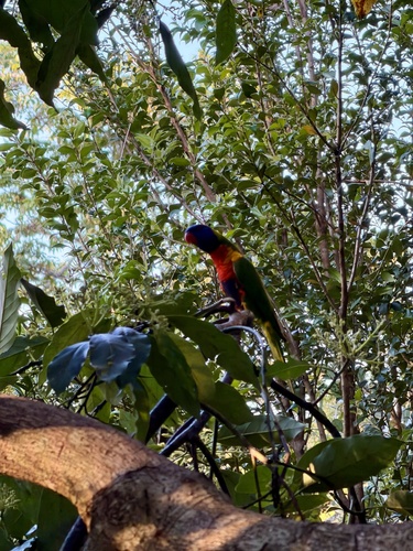
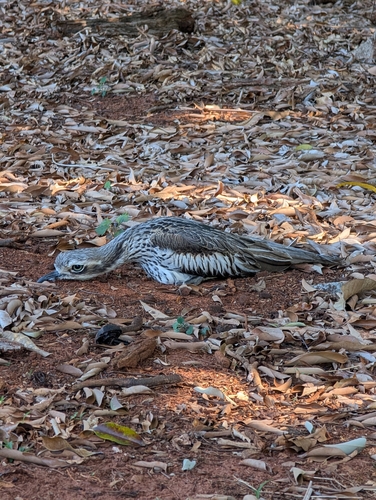
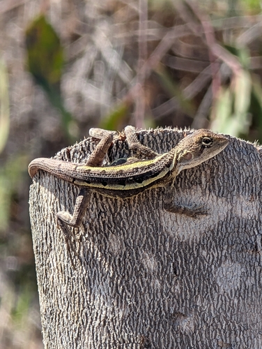
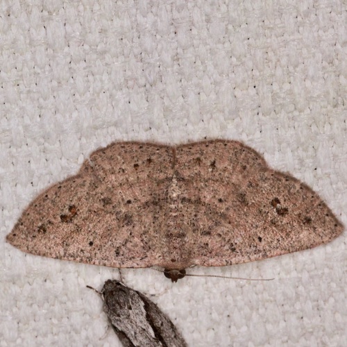
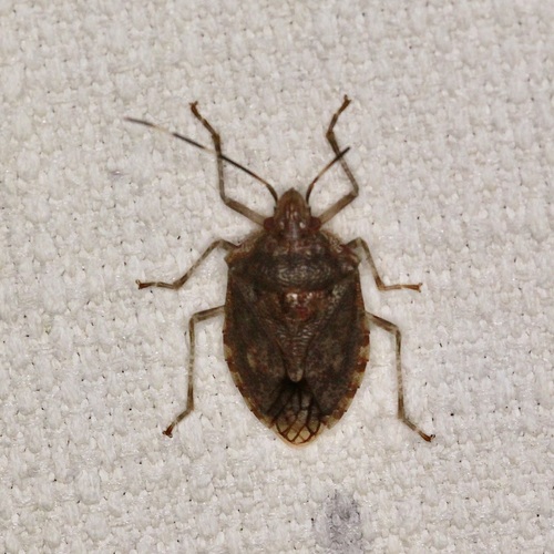
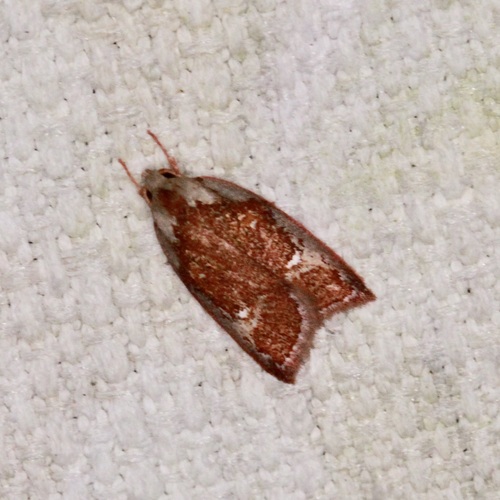
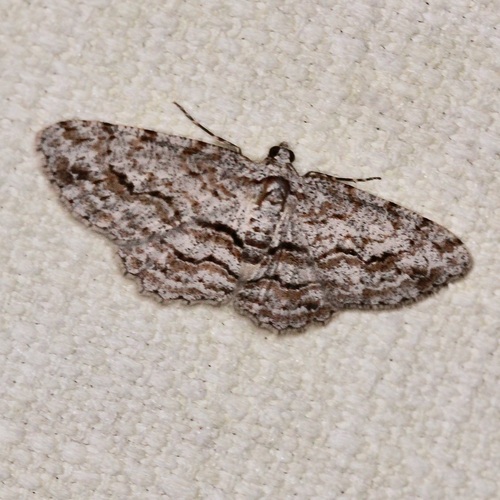
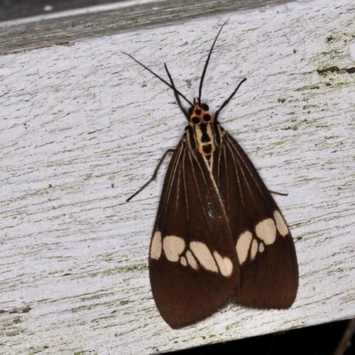
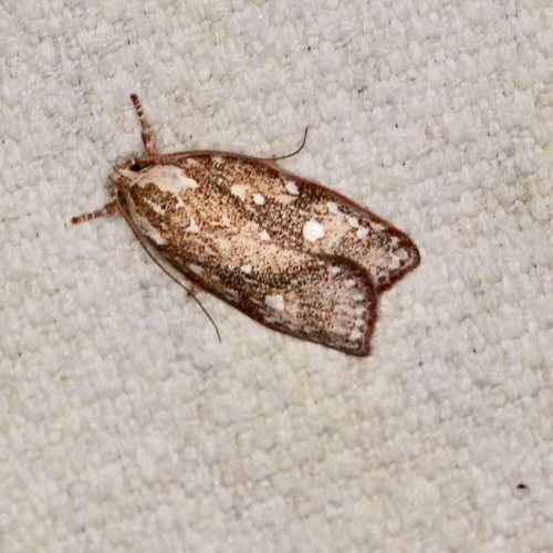
Research-grade observations from iNaturalist (within ~15 mi).
Events
Gallery
Sources
- • Wikipedia
- • Wikidata
- • USGS Earthquake Catalog (global feed)
- • GBIF (Global Biodiversity Information Facility)
- • iNaturalist
- • Open-Meteo / sunrise-sunset.org
- • Wikipedia Pageviews API