Browse / Australia / Queensland / Elimbah
Elimbah
Queenslandvillage
Demographic figures from Australian Bureau of Statistics. Overview below cites Wikipedia and may reference a different year.
City facts
Overview
Elimbah is a rural town and locality in the City of Moreton Bay, Queensland, Australia. In the 2021 census, the locality of Elimbah had a population of 4,290 people.
Read more on WikipediaHistory & geography
History
The traditional owners of Elimbah were the Kabi people, who called the area as the "place of the grey water snake". The town was originally a campsite known as The Six Mile when it became a resting place for horses and bullocks. In 1890, with the breakthrough of the North Coast railway line, it became known as "36miles 68chains". On 20 September 1902, at the urging of local residents, it was officially named Elimbah. The school was officially opened on Australia Day in 1916. Fundraising for Elimbah Hall began in 1915 and dedicated to returned servicemen on ANZAC Day, 25 April 1922. Twin View State School opened on 4 January 1921 and closed in October 1924. The building was then relocated to Wamuran to be the new school building for Wamuran State School. The Methodist Church purchased 3 blocks of land in Elimbah in 1913. In 1953, a church was being constructed, with Elimbah Methodist Church opening in 1954. With the amalgamation of the Methodist Church into the Uniting Church in Australia in 1977, it became Elimbah Uniting Church.
Geography
Elimbah is located north of the larger centre of Caboolture, and south of Beerburrum. Elimbah has the following mountains: * Round Mountain () * The Saddleback () * Tunbubudla (The Twins) () The Bruce Highway passes from south to north through the locality. Further west, Beerburrum Road also runs through from south to north. Steve Irwin Way passes through the north-east corner. The North Coast railway line also passes from south to north through the locality, roughly parallel to the highway. The town is served by Elimbah railway station ().
Excerpted from the corresponding Wikipedia article (CC BY-SA).
Geography
Coordinates & boundaries from the US Census TIGER/Line shapefiles.
Climate
Air quality
Walkability
Amenities nearby
Wildlife & biodiversity
Most-observed species
- Rainbow LorikeetTrichoglossus haematodus (Linnaeus, 1771) · Aves5,174
- Masked LapwingVanellus miles (Boddaert, 1783) · Aves4,847
- Australian MagpieGymnorhina tibicen (Latham, 1802) · Aves4,309
- Torresian CrowCorvus orru Bonaparte, 1850 · Aves4,114
- Australian IbisThreskiornis molucca (Cuvier, 1829) · Aves4,038
- Noisy MinerManorina melanocephala (Latham, 1801) · Aves3,870
- Magpie-larkGrallina cyanoleuca (Latham, 1802) · Aves3,764
- Willie-wagtailRhipidura leucophrys (Latham, 1802) · Aves3,636
Citizen-science & research observations from the Global Biodiversity Information Facility (GBIF).
Earthquake history
Events from the USGS Earthquake Catalog (global) (FDSN Event Web Service).
Photos
Sights & places nearby
Notable people from here
Nearby places in Queensland
Geography & sun
Elevation, sunrise/sunset and daylight from Open-Meteo. Solar climatology from NASA POWER.
Nearby airports
Public attention
Pageview totals from the Wikimedia Pageviews API.
Books about this place
Recent natural events nearby
Ground air-quality sensors
Recently spotted species
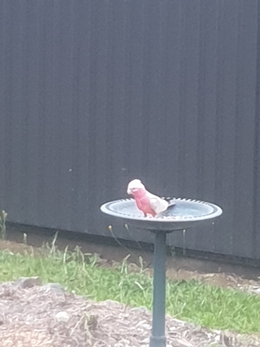
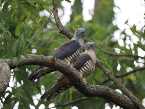
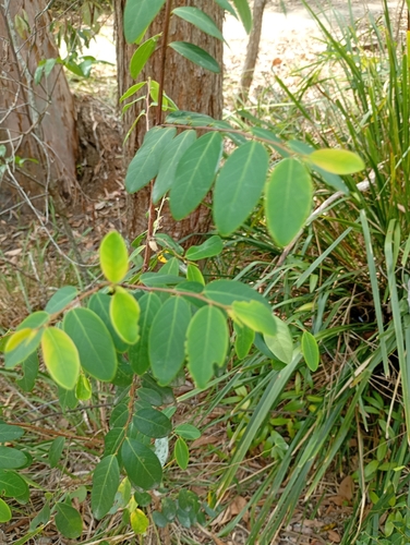
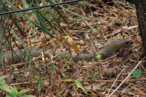
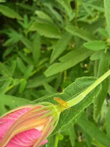
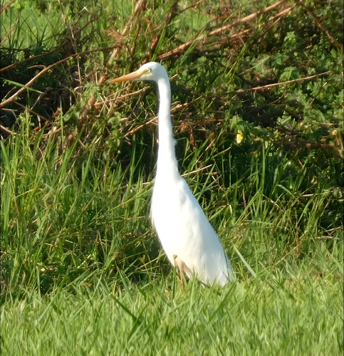
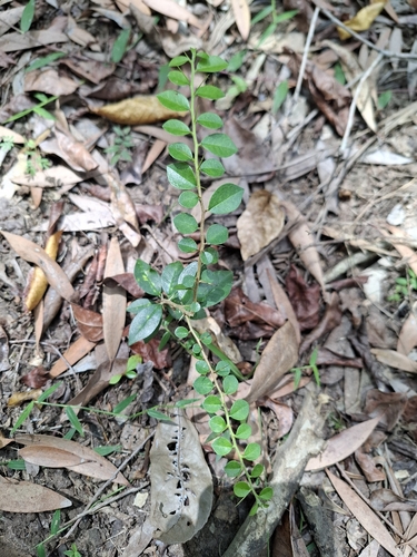
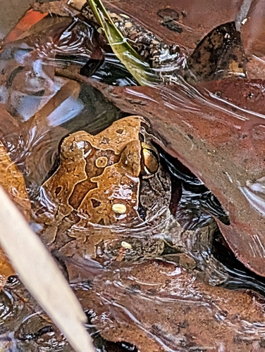
Research-grade observations from iNaturalist (within ~15 mi).
Events
Gallery
Official Identifiers
ABS — Australian Bureau of Statistics
- ASGS 2021
- SAL30961
- Population (Wikidata)
- 3,963
- Wikidata
- Q5361040
ASGS 2021 ID via Wikidata P10112
Sources
- • Wikipedia
- • USGS Earthquake Catalog (global feed)
- • GBIF (Global Biodiversity Information Facility)
- • iNaturalist
- • Open-Meteo / sunrise-sunset.org
- • Wikipedia Pageviews API
- • ABS — Australian Bureau of Statistics — ASGS 2021 ID via Wikidata P10112