Browse / Australia / Queensland / Redcliffe
Redcliffe
Queenslandtown

Redcliffe
Demographic figures from Australian Bureau of Statistics. Overview below cites Wikipedia and may reference a different year.
City facts
Overview
Redcliffe is a coastal town and suburb in the City of Moreton Bay, Queensland, Australia. It also refers colloquially to the Redcliffe Peninsula as a whole, a peninsula jutting into Moreton Bay which contains several other suburbs. Since the 1880s, Redcliffe has been a popular seaside resort in South East Queensland. In the 2021 census, the suburb of Redcliffe had a population of 10,460 people.
Read more on WikipediaHistory & geography
History
Before European settlement, the Redcliffe Peninsula was occupied by the Ningy Ningy people. The Aboriginal name is Kau-in-Kau-in, which means Blood-Blood (red-like blood). A famous Ningy Ningy Bora ring structure, consisting of two separate rings, large and small, joined by a ritual pathway, once existed between Kippa-Ring and Anzac Avenue. Aboriginals as far away as Noosa would travel there to perform initiation ceremonies. It was razed by the Council around 1950. The town's name originates from "Red Cliff Point" named by the explorer Matthew Flinders, referring to the red cliffs at Woody Point. Redcliffe became Queensland's first colony in 1824; however, it was soon abandoned for Brisbane. Redcliffe holds the distinction of being the first European settlement in Queensland, first visited by Matthew Flinders on 17 July 1799. Explorer John Oxley recommended "Red Cliff Point" – named after the red-coloured cliffs visible from Moreton Bay – to the Governor Thomas Brisbane for the new Moreton Bay penal colony, reporting that ships could land at any tide and easily get close to the shore. The penal colony was established at Redcliffe on 13 September 1824, under the command of Lieutenant Henry Miller with 14 soldiers, some with wives and children, and 29 convicts. However, this settlement was abandoned after one year and the colony was moved south to a site on the Brisbane River at North Quay, south, that offered a more reliable water supply. This settlement lead to the establishment of Brisbane, now Queensland's capital city. Redcliffe became a pastoral district in the 1860s and in the 1880s boomed as a seaside resort town. In 1878, a suburban subdivision called Portwood Estate (around the present day Portwood Street, Sheehan Street, and Sylvin Street) was offered…
Geography
Redcliffe is situated in the east north-east of the Redcliffe Peninsula on the western shore of the Moreton Bay. It is approximately north-north-east of the Brisbane CBD. It serves as the Central Business District for the Redcliffe Peninsula and its surrounding suburbs.
Excerpted from the corresponding Wikipedia article (CC BY-SA).
Geography
Coordinates & boundaries from the US Census TIGER/Line shapefiles.
Climate
Air quality
Walkability
Amenities nearby
Wildlife & biodiversity
Most-observed species
- Torresian CrowCorvus orru Bonaparte, 1850 · Aves18,923
- Noisy MinerManorina melanocephala (Latham, 1801) · Aves17,484
- Australian IbisThreskiornis molucca (Cuvier, 1829) · Aves16,039
- Rainbow LorikeetTrichoglossus haematodus (Linnaeus, 1771) · Aves15,885
- Australian MagpieGymnorhina tibicen (Latham, 1802) · Aves15,422
- Welcome SwallowHirundo neoxena Gould, 1842 · Aves14,378
- Masked LapwingVanellus miles (Boddaert, 1783) · Aves13,394
- Magpie-larkGrallina cyanoleuca (Latham, 1802) · Aves12,468
Citizen-science & research observations from the Global Biodiversity Information Facility (GBIF).
Earthquake history
Events from the USGS Earthquake Catalog (global) (FDSN Event Web Service).
Photos
Sights & places nearby
Notable people from here


People born within ~10 km, from Wikidata (CC0). Click any name for their Wikipedia article.
Nearby places in Queensland
Geography & sun
Elevation, sunrise/sunset and daylight from Open-Meteo. Solar climatology from NASA POWER.
Nearby airports
Public attention
Pageview totals from the Wikimedia Pageviews API.
Books about Redcliffe
Search results from Open Library.
Recent natural events nearby
Ground air-quality sensors
Recently spotted species
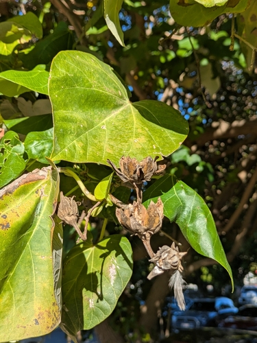
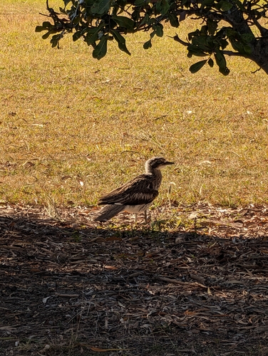
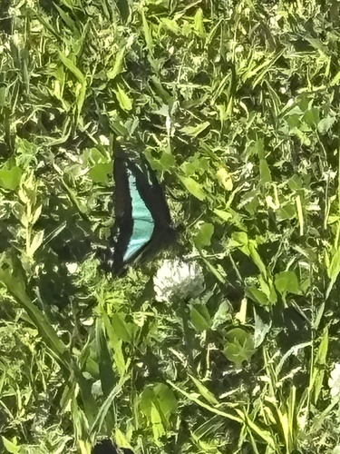
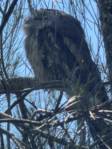
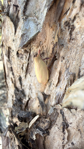
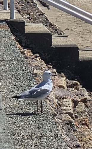
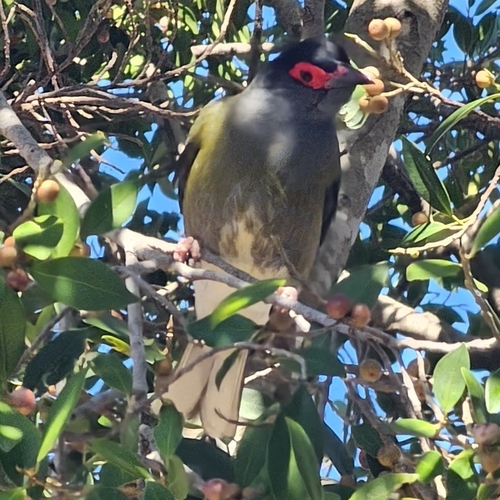
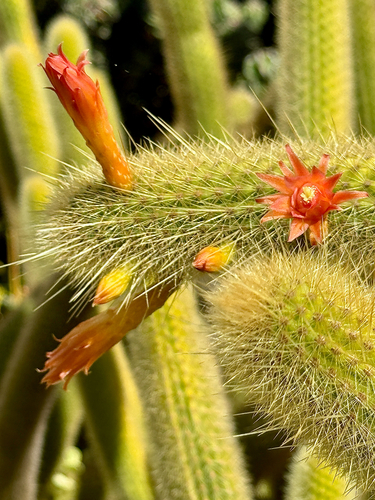
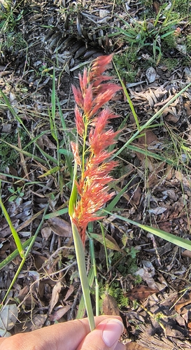
Research-grade observations from iNaturalist (within ~15 mi).
Events
Gallery
Sources
- • Wikipedia
- • Wikidata
- • USGS Earthquake Catalog (global feed)
- • GBIF (Global Biodiversity Information Facility)
- • iNaturalist
- • Open-Meteo / sunrise-sunset.org
- • Wikipedia Pageviews API
- • Open Library