Browse / Australia / Queensland / Kooringal
Kooringal
Queenslandvillage
Demographic figures from Australian Bureau of Statistics. Overview below cites Wikipedia and may reference a different year.
City facts
Overview
Kooringal is a coastal town and locality on the south-west coast of Moreton Island within the City of Brisbane, Queensland, Australia. In the 2021 census, the locality of Kooringal had a population of 43 people.
Read more on WikipediaHistory & geography
History
Campbell Point was named after George Peter Campbell (son of James Campbell), the Secretary of the Brisbane Tug and Steamship Company Ltd. In 1902 he acquired a lease for for most of Moreton Island, noting that the island as a whole is approximately . He built a house and stock yard at this headland. In 1903 he began shipping drought-stricken cattle from western Queensland to the island to fatten them up for sale.
Geography
Kooringal consists of a few streets of housing along the south-western tip of Moreton Island. It is connected to the other settlements on the island by two routes: * the Toulkerrie-Kooringal Bypass Road which travels north through the mangroves along the west coast until the sandy western beach commences. At this point the road becomes known as the Tangalooma-Kooringal Road and travels along the western beach until it reaches Tangalooma. A vehicular barge service operates from Amity Point to Kooringal at some times of year. Otherwise, vehicles must use the barge to Tangalooma and drive south to Kooringal. A small island (informally known as Crab Island) is to the north-west of Kooringal and the channel between them is called Days Gutter. Campbell Point is the point at the southern end of Kooringal Esplanade (). The land use is almost entirely residential housing.
Excerpted from the corresponding Wikipedia article (CC BY-SA).
Geography
Coordinates & boundaries from the US Census TIGER/Line shapefiles.
Climate
10-year averages from ERA5 reanalysis (Open-Meteo).
Air quality
Walkability
Amenities nearby
Wildlife & biodiversity
Most-observed species
- koalaPhascolarctos cinereus (Goldfuss, 1817) · Mammalia1,500
- Welcome SwallowHirundo neoxena Gould, 1842 · Aves1,415
- Masked LapwingVanellus miles (Boddaert, 1783) · Aves1,363
- Torresian CrowCorvus orru Bonaparte, 1850 · Aves1,302
- Silver GullChroicocephalus novaehollandiae (Stephens, 1826) · Aves1,221
- Australian IbisThreskiornis molucca (Cuvier, 1829) · Aves1,207
- Pied OystercatcherHaematopus longirostris Vieillot, 1817 · Aves1,200
- Rainbow LorikeetTrichoglossus haematodus (Linnaeus, 1771) · Aves1,109
Citizen-science & research observations from the Global Biodiversity Information Facility (GBIF).
Earthquake history
Events from the USGS Earthquake Catalog (global) (FDSN Event Web Service).
Photos
Sights & places nearby
Notable people from here
Nearby places in Queensland
- Point Lookout8.9 mi away · pop. 785
- Dunwich10 mi away · pop. 795
- Tangalooma12.2 mi away
- Karragarra Island20.1 mi away · pop. 240
- Redcliffe20.7 mi away
- Point Talburpin21.2 mi away
- Deception Bay26.5 mi away
- Logan City27.6 mi away
- Toorbul29.5 mi away
- Currigee37.6 mi away · pop. 100
- Wongawallan38.9 mi away
- Beerburrum39.3 mi away · pop. 487
Geography & sun
Elevation, sunrise/sunset and daylight from Open-Meteo. Solar climatology from NASA POWER.
Nearby airports
Public attention
Pageview totals from the Wikimedia Pageviews API.
Books about this place
Recent natural events nearby
Ground air-quality sensors
Recently spotted species
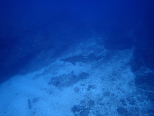
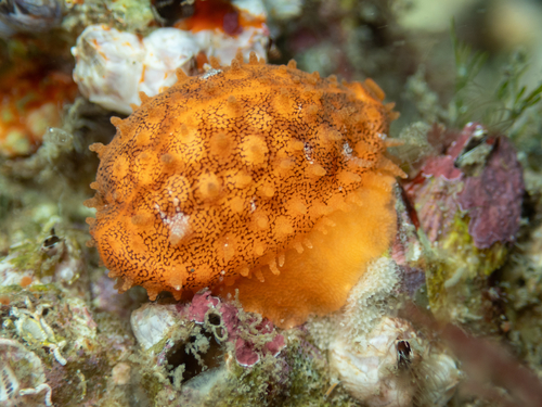
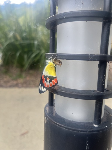
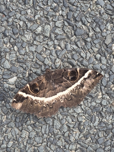
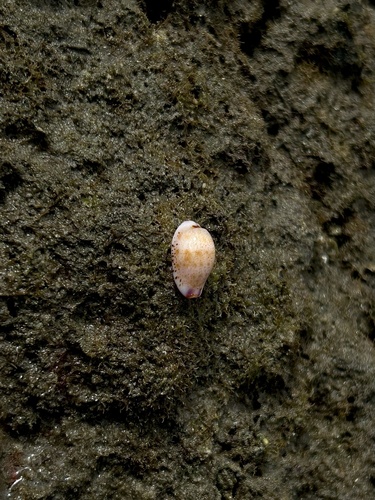
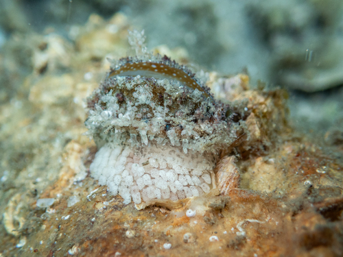
Research-grade observations from iNaturalist (within ~15 mi).
Events
Gallery
Sources
- • Wikipedia
- • Open-Meteo (ERA5 reanalysis)
- • Wikidata
- • USGS Earthquake Catalog (global feed)
- • GBIF (Global Biodiversity Information Facility)
- • iNaturalist
- • Open-Meteo / sunrise-sunset.org
- • Wikipedia Pageviews API