Browse / Australia / South Australia / Blyth
Blyth
South Australiavillage

Blyth
Total population
442
Air quality index
Demographic figures from Australian Bureau of Statistics. Overview below cites Wikipedia and may reference a different year.
City facts
Facts from Wikidata (CC0).
Overview
Blyth is a small town in the Mid North of South Australia, located 13 kilometres (8.1 mi) west of the renowned Clare Valley. The town is located on the lands of the Kaurna people, the Indigenous people who lived there before European settlement. In the 2021 Australian census, the town had a population of 442.
Read more on WikipediaHistory & geography
History
The Padnaindi group of the Kaurna people lived on the Blyth Plains for thousands of years before the British colonisation of South Australia. Settler David Hughes happened upon the plains in 1842, which were named Jacob’s Plains after Hughes’ employer, John Jacob. carved out of land that was then a huge pastoral lease. It was named after Sir Arthur Blyth, who had three terms as Premier of South Australia. The railway closed on 29 March 1989 and was removed shortly after. Adjacent stations were Brinkworth to the north and Hoyleton and Halbury to the south.
Excerpted from the corresponding Wikipedia article (CC BY-SA).
Geography
Coordinates & boundaries from the US Census TIGER/Line shapefiles.
Climate
10-year averages from ERA5 reanalysis (Open-Meteo).
Air quality
Current readings from Open-Meteo Air Quality API (Copernicus CAMS European reanalysis).
Walkability
Amenities nearby
Wildlife & biodiversity
Most-observed species
- Crimson RosellaPlatycercus elegans (Gmelin, 1788) · Aves514
- GalahEolophus roseicapilla (Vieillot, 1817) · Aves450
- Australian MagpieGymnorhina tibicen (Latham, 1802) · Aves443
- Red WattlebirdAnthochaera carunculata (Shaw, 1790) · Aves421
- White-plumed HoneyeaterPtilotula penicillata (Gould, 1837) · Aves406
- Little RavenCorvus mellori Mathews, 1912 · Aves333
- Striated PardalotePardalotus striatus (Gmelin, 1789) · Aves242
- Red-rumped ParrotPsephotus haematonotus (Gould, 1838) · Aves234
Citizen-science & research observations from the Global Biodiversity Information Facility (GBIF).
Earthquake history
Most recent
- M 4.3 — 2024-04-178 km ENE of Jamestown, Australia
- M 4.4 — 2020-05-1415 km WSW of Burra, Australia
- M 3.3 — 2018-07-099 km NNW of Jamestown, Australia
- M 4.1 — 2011-09-0416 km SW of Peterborough, Australia
- M 3.1 — 2008-12-0417 km ESE of Crystal Brook, Australia
- M 2.7 — 2007-08-0323 km SSE of Burra, Australia
Events from the USGS Earthquake Catalog (global) (FDSN Event Web Service).
Photos
Sights & places nearby
Notable people from here


People born within ~10 km, from Wikidata (CC0). Click any name for their Wikipedia article.
Nearby places in South Australia
- Kybunga5.3 mi away
- Clare7.1 mi away · pop. 3,379
- Penwortham10.2 mi away
- Hoyleton12.9 mi away · pop. 46
- Mintaro14.4 mi away · pop. 111
- Halbury16.5 mi away
- Farrell Flat17.6 mi away · pop. 138
- Hanson21.1 mi away
- Manoora21.7 mi away · pop. 71
- Black Springs23.2 mi away
- Saddleworth23.4 mi away · pop. 397
- Waterloo24.5 mi away
Geography & sun
Elevation, sunrise/sunset and daylight from Open-Meteo. Solar climatology from NASA POWER.
Nearby airports
Public attention
Pageview totals from the Wikimedia Pageviews API.
Books about Blyth

Search results from Open Library.
Recent natural events nearby
Ground air-quality sensors
Recently spotted species
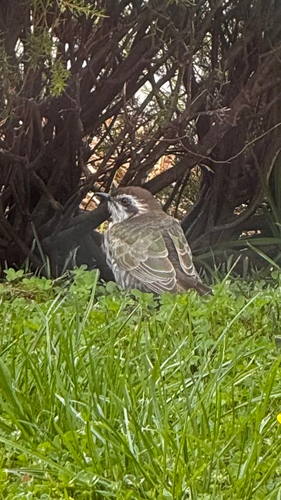
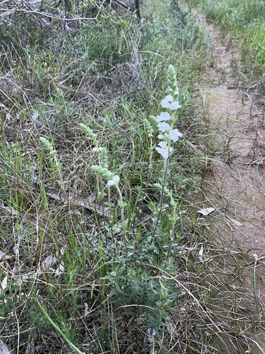
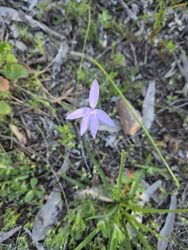
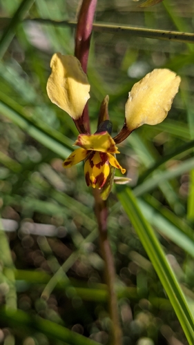
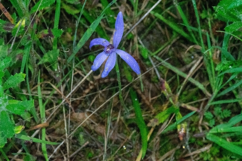
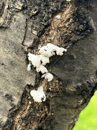
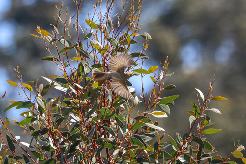
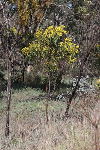
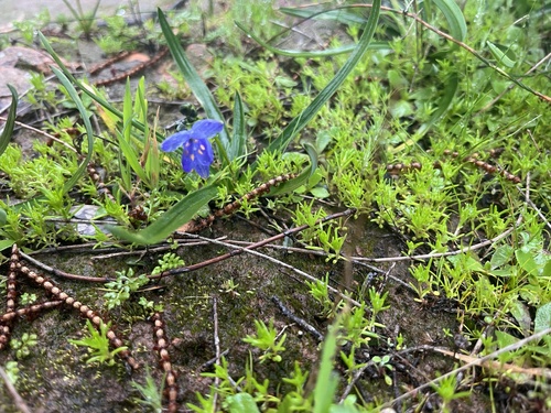
Research-grade observations from iNaturalist (within ~15 mi).
Events
Gallery
Geotagged photos within ~6 miles of Blyth, from Wikimedia Commons contributors.


Photos via Wikimedia Commons — see each image page for license & attribution.
Sources
- • Wikipedia
- • Open-Meteo (ERA5 reanalysis)
- • Wikimedia Commons
- • Wikidata
- • Open-Meteo Air Quality (CAMS)
- • USGS Earthquake Catalog (global feed)
- • GBIF (Global Biodiversity Information Facility)
- • iNaturalist
- • Open-Meteo / sunrise-sunset.org
- • Wikipedia Pageviews API
- • Open Library