Browse / Australia / Victoria / Broadford
Broadford
Victoriatown

Broadford
Total population
4,076
Demographic figures from Australian Bureau of Statistics. Overview below cites Wikipedia and may reference a different year.
City facts
Overview
Broadford is a town in central Victoria, Australia. At the 2021 census, Broadford had a population of 4,076. The town is the headquarters of the Shire of Mitchell local government area and is approximately 73 kilometres (50 mi) north of the state capital, Melbourne.
Read more on WikipediaHistory & geography
History
The original inhabitants of Broadford are the Taungurung people, a part of the Kulin nation that inhabited a large portion of central Victoria including Port Phillip Bay and its surrounds. A 1934 document recalling the 1870s notes the "Puckapunyal tribe, and there were about twenty in number. … I knew four of them fairly well, one of whom was called Billy Hamilton (and claimed to be the son of the Chief of the Puckapunyal tribe) his lubra, Mary, Gelibrand and Lankey." Hamilton Hume and Captain William Hilton Hovell were the first Europeans to set foot on the future township of Broadford during their pioneering journey into inland Victoria in 1824. Hovell recorded that on Sunday 12 December, the party reached the top of the Murchison Gap east of Broadford and took a compass bearing of the 'remarkable' Sugarloaf Hill that they could see. They named it Mount Piper and noted its dramatic triangular shape. The bearing was written as "W. b. S" which is the navigator's standard compass point of west by south or 258.75 degrees. It is nearly due west to the layman. The party continued on that bearing, crossed Black Swamp Gully, and reached the confluence of Dry Creek (Sunday Creek tributary)|Dry Creek with Sunday Creek, now the township of Broadford, where they camped for the night. They named the larger creek as Sunday Creek. This meant that Broadford was also the first future township in Victoria where Europeans camped overnight. Mount Piper, which today is known for its natural beauty and unique butterfly fauna is located within the boundary of Broadford. White was the first recorded land holder in the vicinity. The first survey map of the region in 1842 shows Colonel White's Station on Sunday Creek only 4 km downstream of its junction with Dry Creek. That junction…
Excerpted from the corresponding Wikipedia article (CC BY-SA).
Geography
Coordinates & boundaries from the US Census TIGER/Line shapefiles.
Climate
Air quality
Walkability
Amenities nearby
Wildlife & biodiversity
Earthquake history
Photos
Sights & places nearby
Notable people from here


People born within ~10 km, from Wikidata (CC0). Click any name for their Wikipedia article.
Nearby places in Victoria
Geography & sun
Elevation, sunrise/sunset and daylight from Open-Meteo. Solar climatology from NASA POWER.
Nearby airports
Public attention
Pageview totals from the Wikimedia Pageviews API.
Books about this place
Recent natural events nearby
Ground air-quality sensors
Recently spotted species
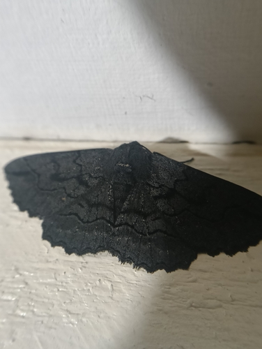
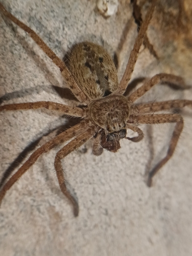
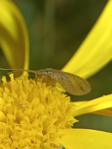
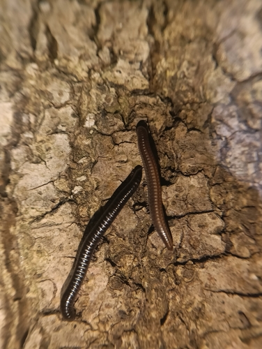
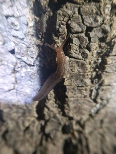
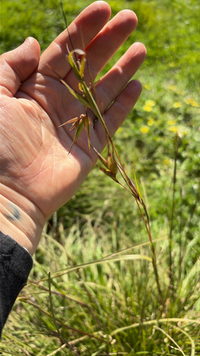
Research-grade observations from iNaturalist (within ~15 mi).
Events
Gallery
Sources
- • Wikipedia
- • Wikidata
- • iNaturalist
- • Open-Meteo / sunrise-sunset.org
- • Wikipedia Pageviews API