Browse / Australia / Queensland / Brookstead
Brookstead
Queenslandvillage

Brookstead
Demographic figures from Australian Bureau of Statistics. Overview below cites Wikipedia and may reference a different year.
City facts
Overview
Brookstead is a rural town and locality in the Toowoomba Region, Queensland, Australia. In the 2021 census, the locality of Brookstead had a population of 182 people.
Read more on WikipediaHistory & geography
History
The name Brookstead is derived from brook indicating creek/watercourse, and stede (Dutch) or stadt (German) indicating place, together meaning a creek-side camping place. Following ongoing problems with the school grounds being waterlogged after heavy rains, in 1951 the school building was relocated to its present site with an adjacent teacher's residence built in 1958. In 1964, the school was enlarged and modernised. The foundation stone ceremony for St Matthew's Anglican Church was held on Sunday 26 August 1923 with Archdeacon Osborne officiating. The church was opened and dedicated by the Venerable Alfred Davies on 30 March 1924. Its closure circa 2014 was approved by Bishop Cameron Venables.
Geography
The town is located in the south-west of the locality. The North Branch of the Condamine River forms the western boundary of the locality. The land is flat freehold farmland (approx 400 metres above sea level) and is used to grow crops, such as sorgum, corn and wheat. St Ronans is a neighbourhood in the west of the locality (). The Gore Highway traverses the locality from the south-east to the south-west slightly bypassing the town. At the bypass is the junction with the Brookstead Norworth Road which exits the locality through the north-west. The Millmerran railway line also traverses from the south-east to the south-west through the locality, passing through the town, which is serviced by the Brookstead railway station ().
Excerpted from the corresponding Wikipedia article (CC BY-SA).
Geography
Coordinates & boundaries from the US Census TIGER/Line shapefiles.
Climate
Air quality
Walkability
Amenities nearby
Wildlife & biodiversity
Most-observed species
- koalaPhascolarctos cinereus (Goldfuss, 1817) · Mammalia260
- Magpie-larkGrallina cyanoleuca (Latham, 1802) · Aves245
- Torresian CrowCorvus orru Bonaparte, 1850 · Aves230
- Crested PigeonOcyphaps lophotes (Temminck, 1822) · Aves227
- Australian MagpieGymnorhina tibicen (Latham, 1802) · Aves218
- GalahEolophus roseicapilla (Vieillot, 1817) · Aves212
- Willie-wagtailRhipidura leucophrys (Latham, 1802) · Aves200
- Noisy MinerManorina melanocephala (Latham, 1801) · Aves199
Citizen-science & research observations from the Global Biodiversity Information Facility (GBIF).
Earthquake history
Events from the USGS Earthquake Catalog (global) (FDSN Event Web Service).
Photos
Sights & places nearby
Notable people from here
Nearby places in Queensland
- Irongate10 mi away
- Millmerran13.6 mi away · pop. 1,371
- Southbrook17.1 mi away · pop. 311
- Bowenville31.4 mi away
- Glencoe32.8 mi away · pop. 304
- Gowrie Junction32.9 mi away
- Ascot32.9 mi away
- Lilyvale34.7 mi away · pop. 58
- Cawdor34.8 mi away · pop. 420
- Meringandan36.9 mi away · pop. 530
- Goombungee39.8 mi away · pop. 786
- Flagstone Creek41.1 mi away
Geography & sun
Elevation, sunrise/sunset and daylight from Open-Meteo. Solar climatology from NASA POWER.
Nearby airports
Public attention
Pageview totals from the Wikimedia Pageviews API.
Books about this place
Recent natural events nearby
Ground air-quality sensors
Recently spotted species
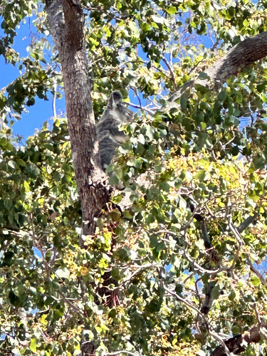
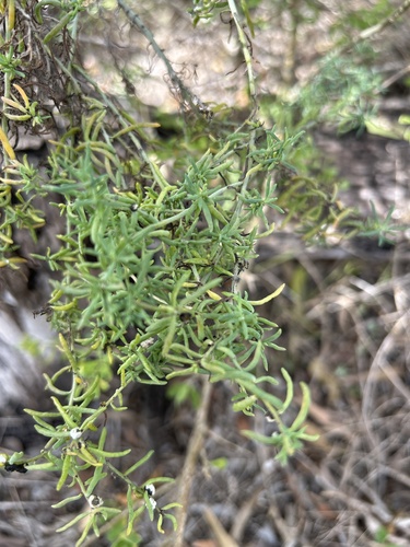
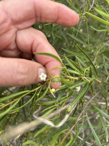
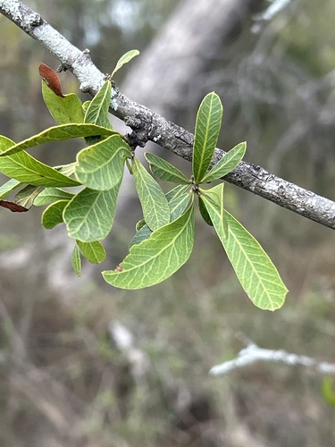
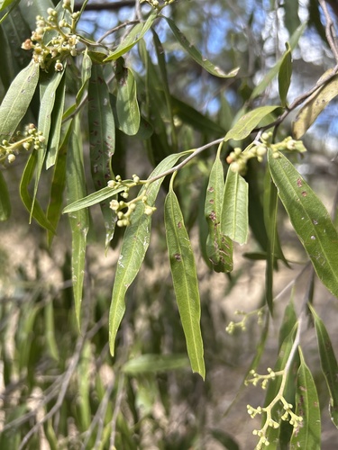
Research-grade observations from iNaturalist (within ~15 mi).
Events
Gallery
Official Identifiers
ABS — Australian Bureau of Statistics
- ASGS 2021
- SAL30389
- Population (Wikidata)
- 182
- Wikidata
- Q30978728
ASGS 2021 ID via Wikidata P10112
Sources
- • Wikipedia
- • Wikidata
- • USGS Earthquake Catalog (global feed)
- • GBIF (Global Biodiversity Information Facility)
- • iNaturalist
- • Open-Meteo / sunrise-sunset.org
- • Wikipedia Pageviews API
- • ABS — Australian Bureau of Statistics — ASGS 2021 ID via Wikidata P10112