Browse / Australia / Queensland / Millmerran
Millmerran
Queenslandtown

Millmerran
Total population
1,371
Demographic figures from Australian Bureau of Statistics. Overview below cites Wikipedia and may reference a different year.
City facts
Overview
Millmerran, known as Domville between 1 June 1889 and 16 November 1894, is a town and a locality in the Toowoomba Region, Queensland, Australia. In the 2021 census, the locality of Millmerran had a population of 1,545 people.
Read more on WikipediaHistory & geography
History
Bigambul (also known as Bigambal, Bigumbil, Pikambul, Pikumbul) is an Australian Aboriginal language spoken by the Bigambul people. The Bigambul language region includes the landscape within the local government boundaries of the Goondiwindi Regional Council, including the towns of Goondiwindi, Yelarbon and Texas extending north towards Moonie and Millmerran. The Giabal (also known as Paiamba, Gomaingguru) language region includes the landscape within the local government boundaries of the Toowoomba Regional Council, particularly Toowoomba south to Allora and west to Millmerran. Millmerran is near a lookout commonly used by the local Jarowair Nation Aboriginal population prior to European settlement and the town's name is believed to be derived from two words – "meel" meaning "eye" and "merran" meaning "to look out". European settlement in the Millmerran area began in 1841 when the Gore brothers established the vast Yandilla station. Yandilla station covered an estimated and hosted its own school with 20 to 30 students, telegraph station and store. Closer settlement began after the passing of the Crown Lands Alienation Act in 1876, which allowed Edward Walpole to select a portion of Yandilla station. In 1881, Walpole established a general store on the site of what was known at the time as Back Creek. Yandilla Provisional School opened on 2 October 1882. In 1901, it was renamed after Millmerran and is now known as Millmerran State School. A postal receiving office was opened with that name on 8 July 1883. It was elevated to the status of a post office, and the name changed to Domville, on 1 June 1889. The name was again changed to Millmerran on 16 November 1894. (Today, Domville is a rural locality south of Milmerran.) On Sunday 27 November 1904, St Francis de…
Geography
The town is on the Darling Downs, west of the state capital, Brisbane. The Gore Highway passes through the locality from the north-east (Yandilla) to the west (Captains Mountain). The Millmerran–Inglewood Road (State Route 82) runs to the south. State Route 82 enters Millmerran from the north-east concurrent with the Gore Highway. The Millmerran–Cecil Plains Road exits to the north.
Excerpted from the corresponding Wikipedia article (CC BY-SA).
Geography
Coordinates & boundaries from the US Census TIGER/Line shapefiles.
Climate
Air quality
Walkability
Amenities nearby
Wildlife & biodiversity
Most-observed species
- Magpie-larkGrallina cyanoleuca (Latham, 1802) · Aves189
- Torresian CrowCorvus orru Bonaparte, 1850 · Aves163
- Crested PigeonOcyphaps lophotes (Temminck, 1822) · Aves151
- Australian MagpieGymnorhina tibicen (Latham, 1802) · Aves149
- GalahEolophus roseicapilla (Vieillot, 1817) · Aves147
- Sulphur-crested CockatooCacatua galerita (Latham, 1790) · Aves145
- Noisy MinerManorina melanocephala (Latham, 1801) · Aves145
- Willie-wagtailRhipidura leucophrys (Latham, 1802) · Aves136
Citizen-science & research observations from the Global Biodiversity Information Facility (GBIF).
Earthquake history
Events from the USGS Earthquake Catalog (global) (FDSN Event Web Service).
Photos
Sights & places nearby
Notable people from here
Nearby places in Queensland
- Brookstead13.6 mi away
- Irongate22.9 mi away
- Inglewood39.1 mi away · pop. 760
- Bowenville41.8 mi away
- Glencoe46.4 mi away · pop. 304
- Gowrie Junction46.5 mi away
- Lilyvale48.3 mi away · pop. 58
- Cawdor48.4 mi away · pop. 420
- Meringandan50.5 mi away · pop. 530
- Goombungee53.1 mi away · pop. 786
- Cabarlah54 mi away · pop. 720
- The Hermitage55.6 mi away
Geography & sun
Elevation, sunrise/sunset and daylight from Open-Meteo. Solar climatology from NASA POWER.
Nearby airports
Public attention
Pageview totals from the Wikimedia Pageviews API.
Books about this place
Recent natural events nearby
Ground air-quality sensors
Recently spotted species
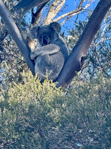
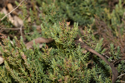
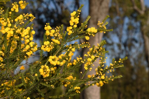
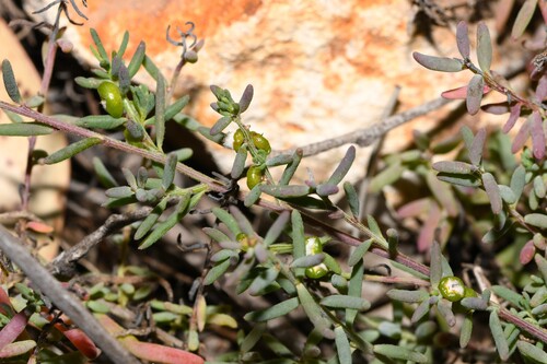
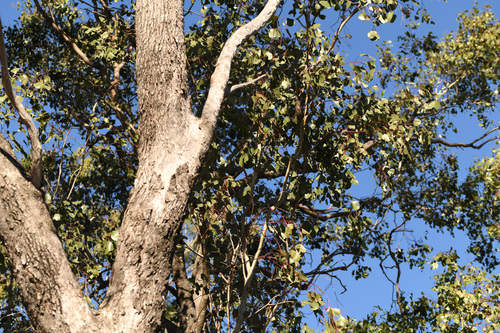
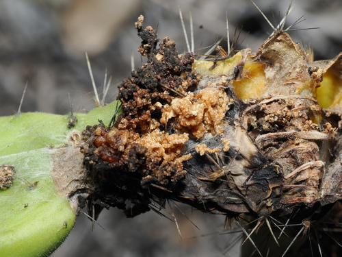
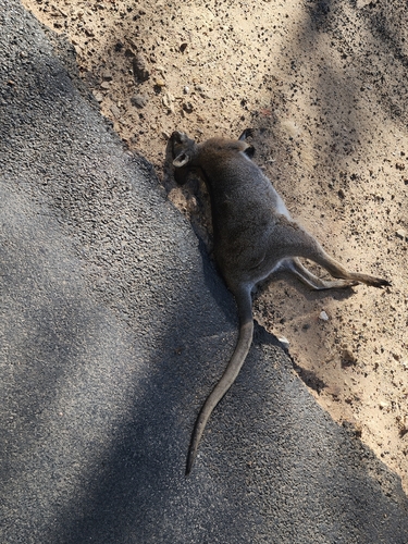
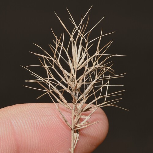
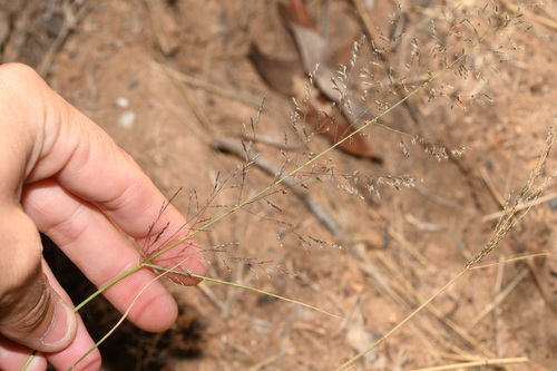
Research-grade observations from iNaturalist (within ~15 mi).
Events
Gallery
Sources
- • Wikipedia
- • USGS Earthquake Catalog (global feed)
- • GBIF (Global Biodiversity Information Facility)
- • iNaturalist
- • Open-Meteo / sunrise-sunset.org
- • Wikipedia Pageviews API