Browse / Australia / Australian Capital Territory / Canberra
Canberra
Australian Capital Territorycity

Canberra
Total population
466,566
Founded
1913
Air quality index
Demographic figures from Australian Bureau of Statistics. Overview below cites Wikipedia and may reference a different year.
City facts
Facts from Wikidata (CC0).
Overview
Canberra is the capital city of Australia and the largest population centre in the Australian Capital Territory. With an estimated population of 484,630 as of 2025, Canberra is Australia's largest inland city and the eighth-largest Australian city by population. The city occupies most of the northern quadrant of the Australian Capital Territory, and its urban sprawl borders the state of New South Wales to the northwest, northeast and southeast. The Brindabellas are located south and west of the city, and form the northern part of the Australian Alps, the country's highest mountain range.
Read more on WikipediaHistory & geography
History
The first peoples of the Canberra area include the Ngunnawal, Ngunawal and Ngambri peoples. Other groups claiming a connection to the land include the Ngarigo (who also lived directly to the south) and the Ngambri-Guumaal. The people living here carefully managed and cultivated the land with fire, farmed yams, and hunted for food. Archaeological evidence of settlement in the region includes inhabited rock shelters, rock paintings and engravings, burial places, camps and quarry sites as well as stone tools and arrangements. Artefacts suggests early human activity occurred at some point in the area 21,000 years previously. Still today, Ngunnawal men into the present conduct ceremony on the banks of the river, Murrumbidgee River. They travel upstream as they receive the In October 1820, Charles Throsby Smith led the first British expedition to the area. Four other expeditions occurred between 1820 and 1823 with the first accurate map being produced by explorer Mark John Currie in June 1823. By this stage, the area had become known as the Limestone Plains. British settlement of the area probably dates from late 1823, when a sheep station was formed on what is now the Acton Peninsula by James Cowan, the head stockman employed by Joshua John Moore. Moore had received a land grant in the region in 1823 and formally applied to purchase the site on 16 December 1826. He named the property "Canberry". On 30 April 1827, Moore was told by letter that he could retain possession of at Canberry. Other colonists soon followed Moore's example to take up land in the region. Around 1825, James Ainslie, working on behalf of the wealthy merchant Robert Campbell, arrived to establish a sheep station. He was guided to the region by a local Aboriginal girl who showed him the fine lands of…
Geography
Canberra is located near the Brindabella Ranges (part of the Australian Alps), approximately inland from Australia's east coast. Canberra is not incorporated, but its urban environs, which include a large part of the ACT east of the Murrumbidgee River, have an elevation of approximately AHD; the highest point near the built up area is Mount Majura at . Other low mountains include Mount Taylor , Mount Ainslie , Mount Mugga Mugga and Black Mountain . The native forest in the Canberra region was almost wholly eucalypt species and provided a resource for fuel and domestic purposes. By the early 1960s, logging had depleted the eucalypt, and concern about water quality led to the forests being closed. Interest in forestry began in 1915 with trials of a number of species including Pinus radiata on the slopes of Mount Stromlo. Since then, plantations have been expanded, with the benefit of reducing erosion in the Cotter catchment, and the forests are also popular recreation areas. The urban environs of Canberra straddle the Ginninderra plain, Molonglo plain, the Limestone plain, and the Tuggeranong plain (Isabella's Plain). The Molonglo River which flows across the Molonglo plain has been dammed to form the national capital's iconic feature Lake Burley Griffin. The Molonglo then flows into the Murrumbidgee north-west of Canberra, which in turn flows north-west toward the New South Wales town of Yass. The Queanbeyan River joins the Molonglo River at Oaks Estate just within the ACT. A number of creeks, including Jerrabomberra and Yarralumla Creeks, flow into the Molonglo and Murrumbidgee. Two of these creeks, the Ginninderra and Tuggeranong, have similarly been dammed to form Lakes Ginninderra and Tuggeranong. Until recently the Molonglo River had a history of sometimes…
Excerpted from the corresponding Wikipedia article (CC BY-SA).
Geography
Coordinates & boundaries from the US Census TIGER/Line shapefiles.
Climate
Air quality
Current readings from Open-Meteo Air Quality API (Copernicus CAMS European reanalysis).
Walkability
Amenities nearby
Wildlife & biodiversity
Most-observed species
- Australian MagpieGymnorhina tibicen (Latham, 1802) · Aves57,424
- Magpie-larkGrallina cyanoleuca (Latham, 1802) · Aves42,840
- Sulphur-crested CockatooCacatua galerita (Latham, 1790) · Aves42,790
- Crimson RosellaPlatycercus elegans (Gmelin, 1788) · Aves38,587
- Pied CurrawongStrepera graculina (Shaw, 1790) · Aves37,786
- GalahEolophus roseicapilla (Vieillot, 1817) · Aves36,060
- Red WattlebirdAnthochaera carunculata (Shaw, 1790) · Aves35,763
- Superb FairywrenMalurus cyaneus (Ellis, 1782) · Aves33,269
Citizen-science & research observations from the Global Biodiversity Information Facility (GBIF).
Earthquake history
Most recent
- M 2.8 — 2019-09-2521 km WNW of Cooma, Australia
- M 3.7 — 2012-04-1936 km ENE of Tumut, Australia
- M 2.6 — 2007-04-2935 km W of Yass, Australia
- M 3.3 — 2006-08-1321 km NNE of Murrumbateman, Australia
- M 3.1 — 2006-04-2120 km NNE of Murrumbateman, Australia
- M 3.4 — 2006-03-0223 km NE of Murrumbateman, Australia
Events from the USGS Earthquake Catalog (global) (FDSN Event Web Service).
Photos
Sights & places nearby
Notable people from here


People born within ~10 km, from Wikidata (CC0). Click any name for their Wikipedia article.
Nearby places in Australian Capital Territory
- Canberra2 mi away
- South Canberra2.1 mi away · pop. 31,592
- North Canberra2.9 mi away
- Woden3.6 mi away · pop. 33,000
- Molonglo Valley3.9 mi away
- Weston Creek4.4 mi away · pop. 22,700
- Belconnen5.9 mi away · pop. 8,502
- Gungahlin8.3 mi away
- Tuggeranong8.5 mi away · pop. 86,900
- Hall9 mi away · pop. 298
- Uriarra Village9.9 mi away · pop. 349
- Tharwa14.9 mi away
Geography & sun
Elevation, sunrise/sunset and daylight from Open-Meteo. Solar climatology from NASA POWER.
Nearby airports
Public attention
Pageview totals from the Wikimedia Pageviews API.
Books about Canberra
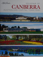

Search results from Open Library.
Recent natural events nearby
Ground air-quality sensors
Recently spotted species
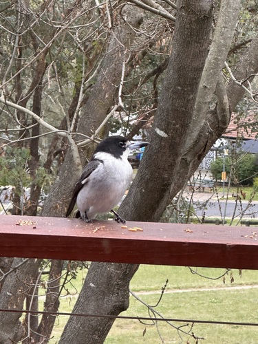
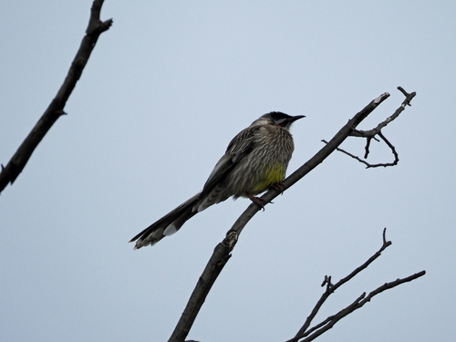
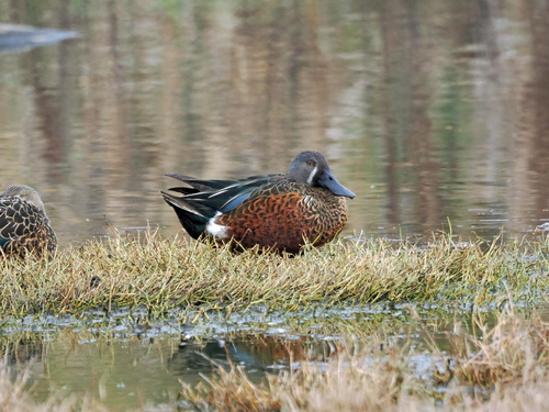
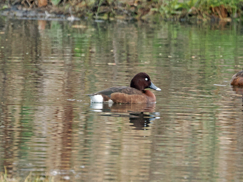
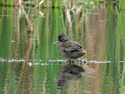
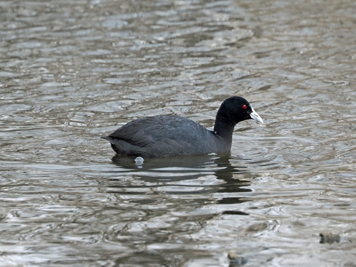
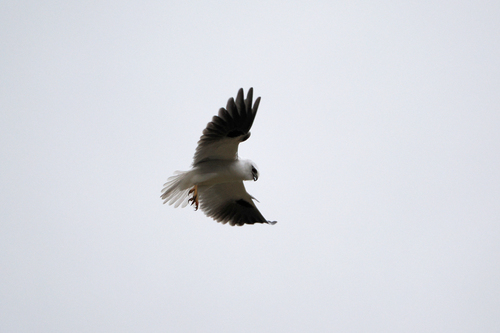
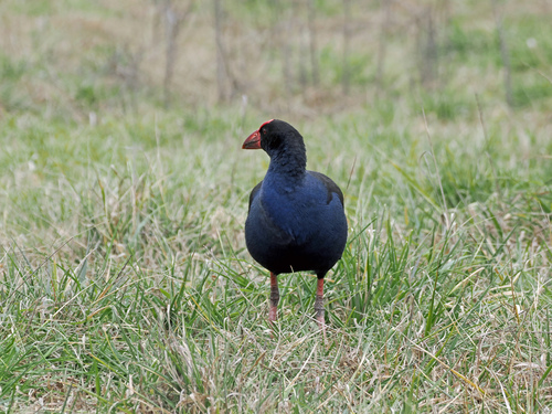
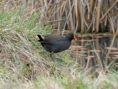
Research-grade observations from iNaturalist (within ~15 mi).
Events
Notable, recurring, and historical events associated with Canberra, sourced from Wikidata.
Source: Wikidata (CC0).
Gallery
Geotagged photos within ~6 miles of Canberra, from Wikimedia Commons contributors.
 0 mi
0 mi 0.1 mi
 0.1 mi
 0.2 mi
 0.2 mi
 0.2 mi
 0.2 mi
 0.2 mi
 0.2 mi
 0.2 mi
 0.2 mi
 0.2 mi
.jpg) 0.3 mi
0.3 mi 0.3 mi
 0.3 mi
 0.3 mi
 0.3 mi
 0.3 mi
 0.3 mi
.JPG) 0.3 mi
0.3 mi 0.4 mi
.jpg) 0.4 mi
0.4 mi 0.4 mi
 0.4 mi
Photos via Wikimedia Commons — see each image page for license & attribution.
Sources
- • Wikipedia
- • Wikimedia Commons
- • Wikidata
- • Open-Meteo Air Quality (CAMS)
- • USGS Earthquake Catalog (global feed)
- • GBIF (Global Biodiversity Information Facility)
- • iNaturalist
- • Open-Elevation
- • Open-Meteo / sunrise-sunset.org
- • Wikipedia Pageviews API
- • Open Library