Browse / Australia / Australian Capital Territory / Tharwa
Tharwa
Australian Capital Territoryvillage

Tharwa
Demographic figures from Australian Bureau of Statistics. Overview below cites Wikipedia and may reference a different year.
City facts
Facts from Wikidata (CC0).
Overview
Tharwa is a village in the district of Paddys River, in the Australian Capital Territory in Australia. It is situated on the southern side of the Australian Capital Territory, 35 kilometres (22 mi) south of Canberra. At the 2021 census, Tharwa had a population of 82.
Read more on WikipediaHistory & geography
History
Tharwa is the oldest official settlement in the Australian Capital Territory, proclaimed a settlement in 1862. Tharwa was named after the Aboriginal word for Mount Tennent, a nearby mountain peak which is part of Namadgi National Park. Mount Tennent was named after John Tennant, who was one of the earliest and best-known bushrangers in the region. Tennant lived in a hideout on the mountain behind Tharwa from which he raided local homesteads 1827–1828, before being arrested and transported to Norfolk Island. Tharwa Bridge, opened on 27 March 1895, crosses the Murrumbidgee River. Tharwa Primary School was opened soon after, in 1899. Tharwa narrowly avoided being burnt in the 2003 Canberra bushfires. More recently, the Tharwa community had two further challenges: closures and repairs to Tharwa Bridge due to extensive rot in its supporting timbers discovered in 2005, and the 2006–07 Australian Capital Territory budget announcement of its plans to close the Tharwa preschool and primary school. The primary school was closed in December 2006, but the preschool remains. The bridge was closed in September 2006 because of safety concerns, traffic then had to detour via Point Hut Crossing. The bridge reopened for light traffic (less than 5 tonnes) in August 2008. Following the completion of restoration works, the bridge was fully reopened for public use on Friday 24 June 2011. The works took two years and involved removal of the old bridge deck and barrier railings as well as installation of new cross girders and sway braces to the permanent trusses. Lambrigg is an historical property near Tharwa where William Farrer conducted his work on genetic selection for his wheat varieties. The De Salis Cemetery is a 19th century pastoral station cemetery on the banks of the…
Excerpted from the corresponding Wikipedia article (CC BY-SA).
Geography
Coordinates & boundaries from the US Census TIGER/Line shapefiles.
Climate
10-year averages from ERA5 reanalysis (Open-Meteo).
Air quality
Walkability
Amenities nearby
Wildlife & biodiversity
Most-observed species
- Australian MagpieGymnorhina tibicen (Latham, 1802) · Aves10,820
- Crimson RosellaPlatycercus elegans (Gmelin, 1788) · Aves8,387
- GalahEolophus roseicapilla (Vieillot, 1817) · Aves7,866
- Sulphur-crested CockatooCacatua galerita (Latham, 1790) · Aves7,706
- Pied CurrawongStrepera graculina (Shaw, 1790) · Aves7,428
- Australian RavenCorvus coronoides Vigors & Horsfield, 1827 · Aves7,074
- Magpie-larkGrallina cyanoleuca (Latham, 1802) · Aves7,027
- Red WattlebirdAnthochaera carunculata (Shaw, 1790) · Aves6,666
Citizen-science & research observations from the Global Biodiversity Information Facility (GBIF).
Earthquake history
Most recent
- M 2.8 — 2019-09-2521 km WNW of Cooma, Australia
- M 3.7 — 2012-04-1936 km ENE of Tumut, Australia
- M 2.6 — 2007-04-2935 km W of Yass, Australia
- M 3.3 — 2006-08-1321 km NNE of Murrumbateman, Australia
- M 3.1 — 2006-04-2120 km NNE of Murrumbateman, Australia
- M 3.4 — 2006-03-0223 km NE of Murrumbateman, Australia
Events from the USGS Earthquake Catalog (global) (FDSN Event Web Service).
Photos
Sights & places nearby
Notable people from here

People born within ~10 km, from Wikidata (CC0). Click any name for their Wikipedia article.
Nearby places in Australian Capital Territory
- Tuggeranong6.4 mi away · pop. 86,900
- Woden11.2 mi away · pop. 33,000
- Weston Creek11.6 mi away · pop. 22,700
- South Canberra14 mi away · pop. 31,592
- Molonglo Valley14.3 mi away
- Canberra14.9 mi away · pop. 466,566
- Canberra16.3 mi away
- Uriarra Village16.7 mi away · pop. 349
- North Canberra17.4 mi away
- Belconnen19.6 mi away · pop. 8,502
- Gungahlin23.2 mi away
- Hall23.5 mi away · pop. 298
Geography & sun
Elevation, sunrise/sunset and daylight from Open-Meteo. Solar climatology from NASA POWER.
Nearby airports
Public attention
Pageview totals from the Wikimedia Pageviews API.
Books about Tharwa
Search results from Open Library.
Recent natural events nearby
Ground air-quality sensors
Recently spotted species
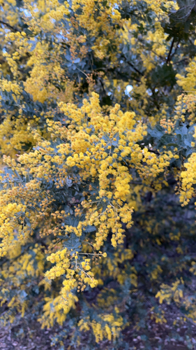
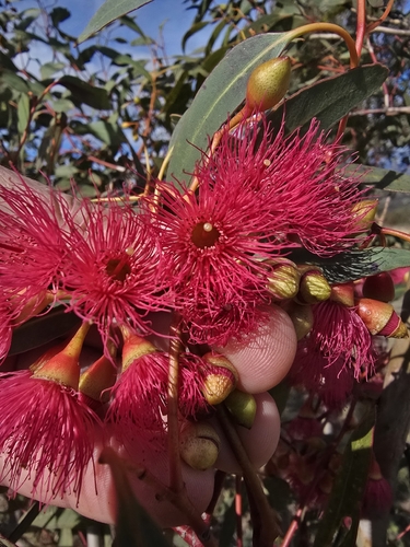
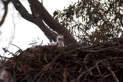
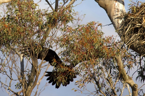
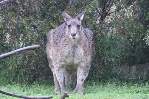
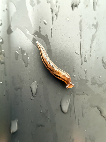
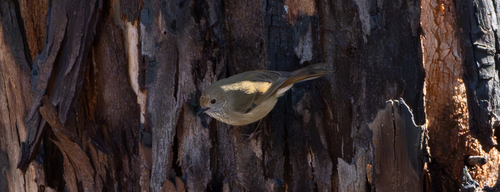
Research-grade observations from iNaturalist (within ~15 mi).
Events
Gallery
Geotagged photos within ~6 miles of Tharwa, from Wikimedia Commons contributors.
 0.2 mi
 0.2 mi
 0.2 mi
.jpg) 0.2 mi
0.2 mi 0.3 mi
 0.3 mi
 0.3 mi
 0.3 mi
 0.3 mi
.jpg) 0.4 mi
0.4 mi.jpg) 0.4 mi
0.4 mi 0.4 mi
.jpg) 0.5 mi
0.5 mi 0.5 mi
.jpg) 1.4 mi
1.4 mi.jpg) 1.4 mi
1.4 mi.jpg) 1.4 mi
1.4 mi.jpg) 1.4 mi
1.4 mi.jpg) 1.5 mi
1.5 mi.jpg) 1.5 mi
1.5 mi 1.8 mi
 2.4 mi
 2.6 mi
 3.6 mi
Photos via Wikimedia Commons — see each image page for license & attribution.
Official Identifiers
ABS — Australian Bureau of Statistics
- ASGS 2021
- SAL80123
- Population (Wikidata)
- 81
- Wikidata
- Q4451942
ASGS 2021 ID via Wikidata P10112
Sources
- • Wikipedia
- • Open-Meteo (ERA5 reanalysis)
- • Wikimedia Commons
- • Wikidata
- • USGS Earthquake Catalog (global feed)
- • GBIF (Global Biodiversity Information Facility)
- • iNaturalist
- • Open-Meteo / sunrise-sunset.org
- • Wikipedia Pageviews API
- • Open Library
- • ABS — Australian Bureau of Statistics — ASGS 2021 ID via Wikidata P10112